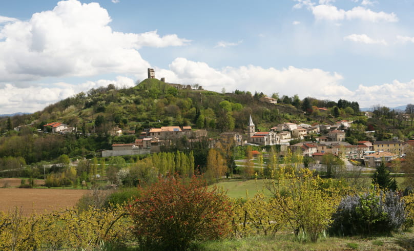
Hiking Trail: "The Mercurol Heights"
Go up towards the church. At the top of a staircase, head south, passing to the left of a water tank. On the hillside, take a dirt track, pass under the high-voltage power line and descend to Château de Conflans (45 mins.). Drive around the castle, then around the Chanos-Curson cemetery. At Maubet, take a sunken path up to the ridge. Head north for 30 minutes. At the Veaunes cemetery, go down the D115 for 250m and turn right. Join a path in the woods, then cross the D115 again: return on a hillside path beneath the Mercurol tower.
- AddressRandonnée "Les Hauts de Mercurol"
Panneau info rando. Parking sous l'église, au bord de la D 115
Mercurol
26600 Mercurol-Veaunes - Phone04 75 08 10 23
- Emailinfo@ah-tourisme.com
- WebsiteSee the website
Our tips
- Details about route marking :
Balisage jaune - Références topographiques :
Bons plans à pied de la Drôme
Drôme Tourisme cannot be held responsible for any problems encountered along the route.
Any problems encountered can be outlined here:
Author: Conseil Départemental de la Drôme - Apidae Tourisme
To show the map
0M
0M

