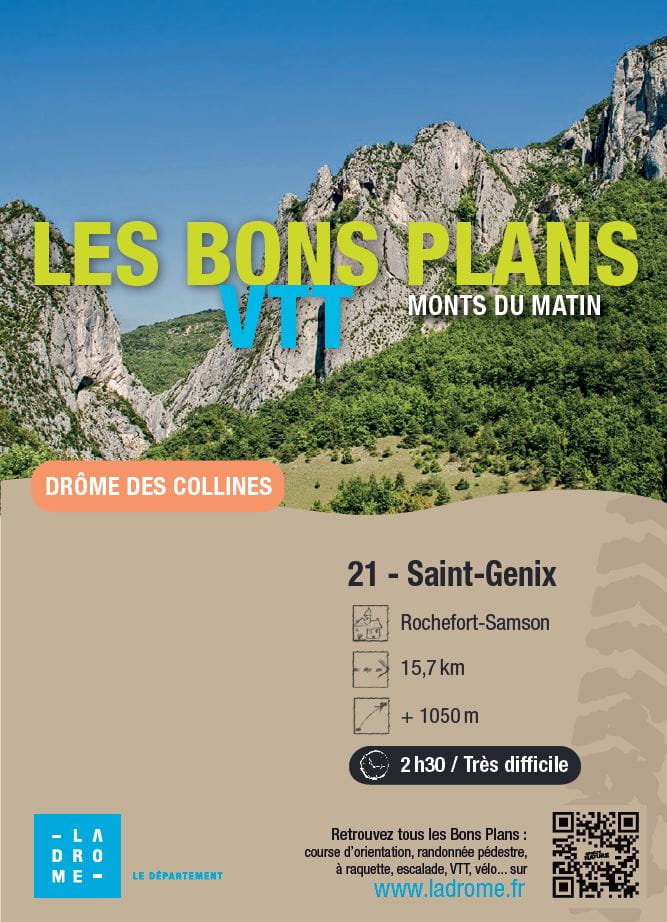
Saint-Genix
Ajouter au carnet de voyage
- Distance15,7 km
- Duration2h30
- TypeCircular
- DifficultyVery difficult
- Total altitude change+ 1050 m
- Departure/arrivalRochefort-Samson
- Route markingYes
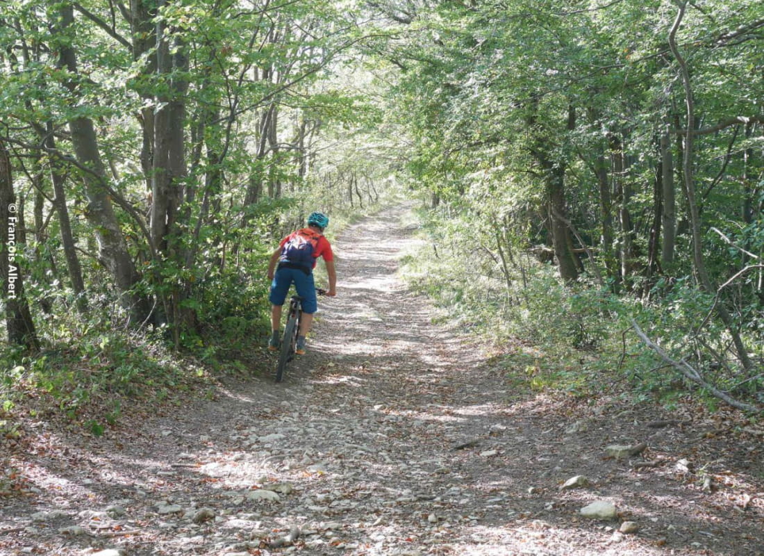
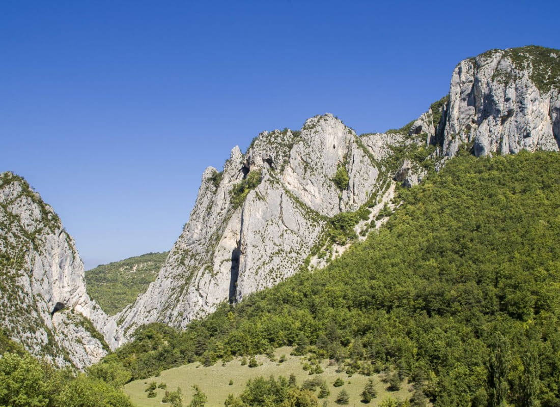
A beautiful, wild route at the foot of the cliffs between Pas de la Pierre and Pas de Bouvaret. Magnificent singles, little pushing, lots of elevation gain: do it again and again!
- AddressParking Combe d'Oyans
26300 Rochefort-Samson - Phone04 75 44 90 4004 75 02 28 72
- WebsiteSee the website
Our tips
- Details about route marking :
Suivre 21 sur triangle jaune - Map references :
Partir avec la carte IGN 3136SB est vivement conseillé.
Drôme Tourisme cannot be held responsible for any problems encountered along the route.
Any problems encountered can be outlined here:
Author: Conseil Départemental de la Drôme - Apidae Tourisme
To show the map
0M
0M