Massegrès
Ajouter au carnet de voyage

- Distance8,8 km
- Duration1h30
- TypeCircular
- DifficultyDifficult
- Total altitude change+ 410 m
- Departure/arrivalSaint-Vincent-la-Commanderie
- Route markingYes
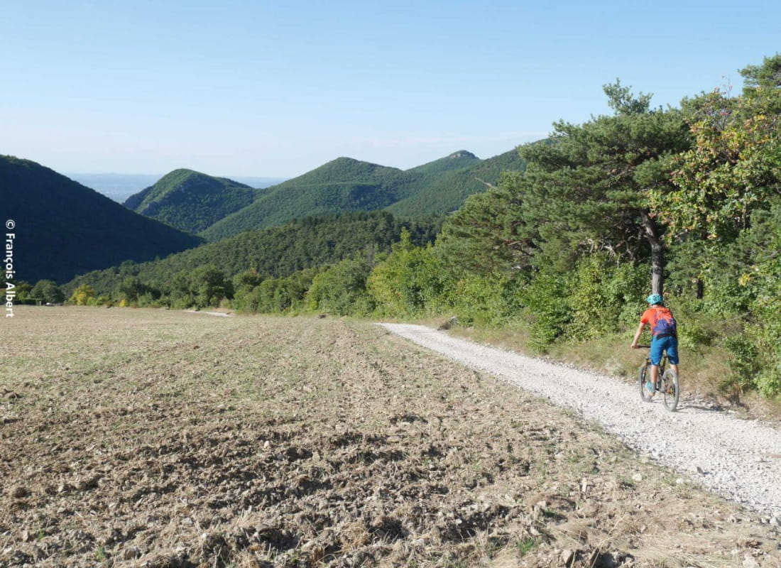
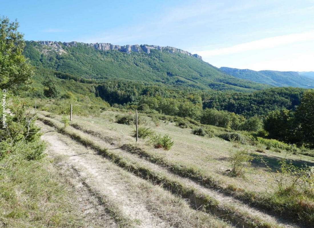
A route with a beautiful view of the Rhône valley below. Some sections require some technique. You can join loops 15 and 16 to extend the itinerary to your heart's content!
- AddressParking du village à proximité de l'école
26300 Saint-Vincent-la-Commanderie - Phone04 75 44 90 4004 75 02 28 72
- WebsiteSee the website
Our tips
- Details about route marking :
Suivre 17 sur triangle jaune - Map references :
Partir avec la carte IGN 3136SB est vivement conseillé.
Drôme Tourisme cannot be held responsible for any problems encountered along the route.
Any problems encountered can be outlined here:
Author: Conseil Départemental de la Drôme - Apidae Tourisme
To show the map
0M
0M