PressAs a group
Pedestrian sports - Hiking itinerary

Col de la Bataille

  • Distance22.29 km
  • Duration8h
  • DifficultyVery difficult
  • Total altitude change+ 1090 m
  • Departure/arrivalLéoncel
  • Route markingYes

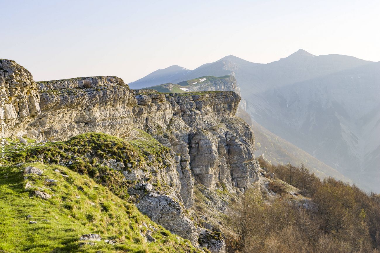
Forested landscapes, impressive cliffs or high-altitude meadows: the whole of the Vercors is represented on this hike! Ideal in spring and summer, when the Ambel plateau is covered in protected flowers, offering an enchanting spectacle...

Our tips

  • Difficult stretches :
    Certaines portions de l'itinéraire sont inaccessibles en saison hivernale pour des raisons de sécurité.

To see the GPX, download the application

  • Exemple sur Android : Ici
  • Exemple sur IOS : Ici
  • Découvrir GPX Studio : Ici

Drôme Tourisme cannot be held responsible for any problems encountered along the route. 

Any problems encountered can be outlined here:

Suricate


Author: Conseil Départemental de la Drôme - Apidae Tourisme

To show the map
0M
0M
Your travel journal is empty. Add places or events to download here.
Download my travel diary
Empty