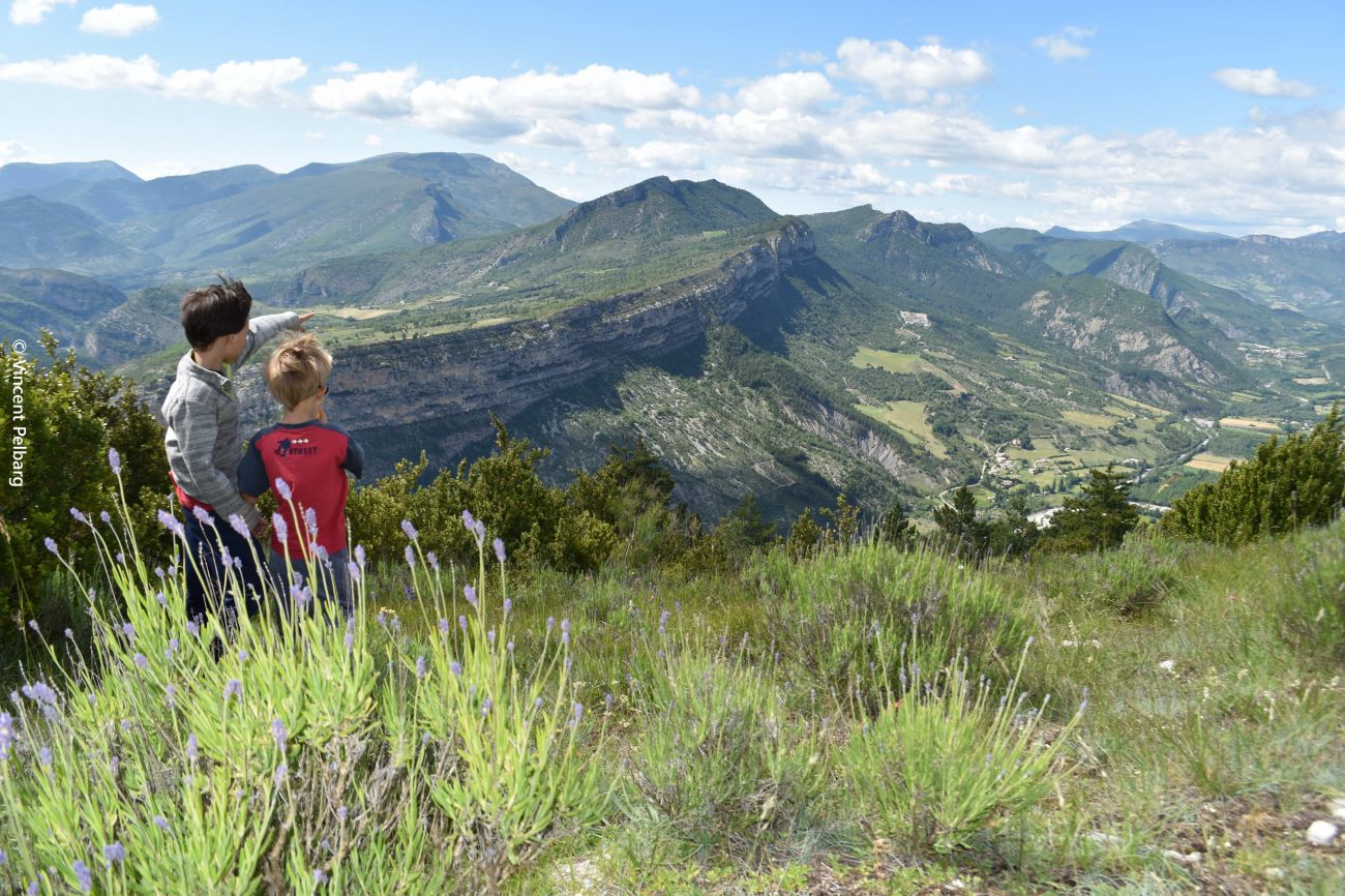
Le Montrond
The Montrond is a Sensitive Natural Area (ENS), recognized by the Drôme department for its landscape and ecological interest. Local players are working to ensure the preservation and discovery of this remarkable area, through the implementation of field actions such as maintaining open environments, reinforcing pastoralism and ensuring the tranquility of the area for vultures. To help you understand this area, a discovery trail has been created: Les Passagers du Mont (access from Rémuzat, Verclause by the south side and Verclause by Staton). Take the map and flyer produced for this purpose (available from tourist offices in the Baronnies provençales or self-service in Verclause's village square) and take a step-by-step tour of the story that man and nature have created.
Warning: herds are protected from predation by guard dogs (Patous in particular). Dogs are not allowed on this route, even on a leash. Please respect the work of the shepherds; don't pass in the middle of the flocks, and leave their living quarters intact.
Departure point: On the village square, in front of the Tourist Office and the Maison des Vautours.
1. At the "Rémuzat - Champ de mars alt. 448 m" sign in front of the bus shelter, follow the signs for "Place Rolland" towards the village center, to the right of the Tourist Office.
2. Take the street diagonally across the square, opposite the post that leads to the left bank (direction of water flow) of the Rif stream. Continue straight on for 150 m.
3. After the last house on your right and 150 m before a green shed, take the Clos Nogier path, which rises into the marl on your right. Cross the marl, reach a small plateau and then descend through the forest to join a wider path. Continue straight ahead until you reach the "Pas du Loup alt. 632 m".
4. When the climb becomes gentler, at the square marker take the path to the right towards Montrond and Col de Staton. At this point, turn right onto another track (signposted "Bonos"). Continue until you reach a hairpin bend (square post).
5. Go straight ahead around the bend and take a path which rises steeply to the left. Wind through the undergrowth to reach the first summit lawns and follow the signs and cairns (piles of stones) before reaching the "Montrèze" summit.
reach the "Montrond - alt. 1011 m" summit, marked on the ground by the granite geodesic marker.
6. Head east (to the left) towards Collet de Montrond and, after a gentle descent over the plateau, join a track, leaving the one leading to a sheepfold on the right. Pass the ruins of an old sheepfold and cross the forest before reaching the "Collet de Montrond - alt. 809 m" crossroads.
7. Follow the Ubac de Montrond and Rémuzat to the left. Cross a track and continue straight ahead at the square marker still indicating Ubac de Montrond et Rémuzat. Shortly afterwards, turn left at "Ubac de Montrond - alt. 780 m" to rejoin the route taken on the way up. After Saut du Loup, take the left-hand path towards Clos Nogier to avoid the narrow, busy road with poor visibility. Return to the center of Rémuzat.
- AddressPlace du Champ de Mars
26510 Rémuzat
Our tips
- Références topographiques :
Fiche disponible dans les offices de tourisme
Drôme Tourisme cannot be held responsible for any problems encountered along the route.
Any problems encountered can be outlined here:
Author: Conseil Départemental de la Drôme - Apidae Tourisme

