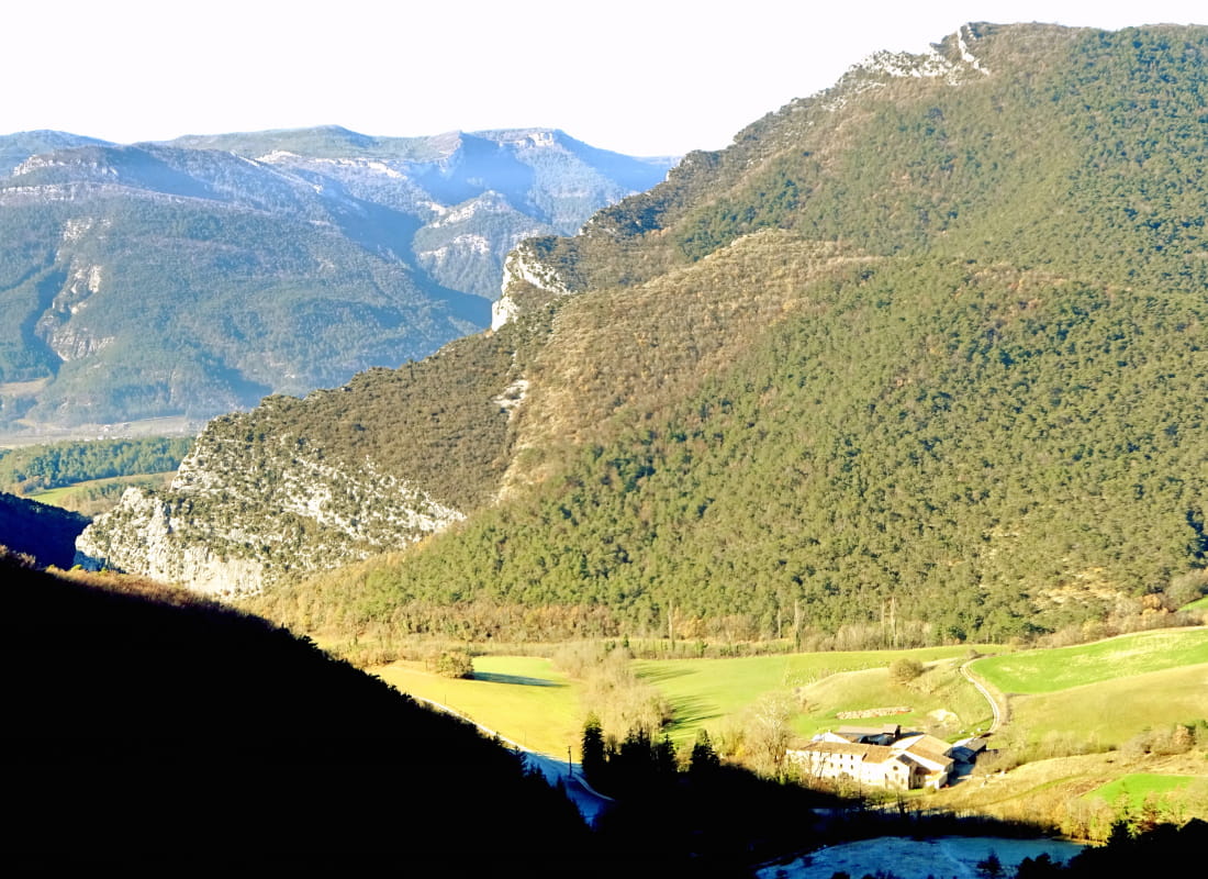
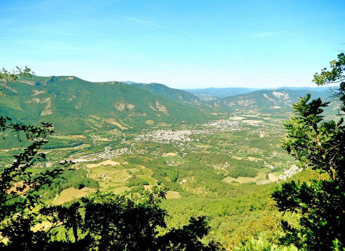
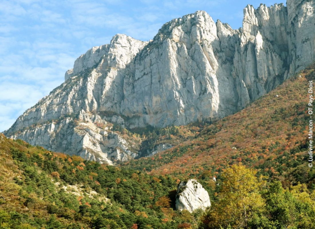
Le vallon du Paradis
Ajouter au carnet de voyage
- Distance11,9 km
- Duration5h
- TypeCircular
- DifficultyDifficult
- Total altitude change+ 9560 m
- Departure/arrivalDie
- Route markingYes
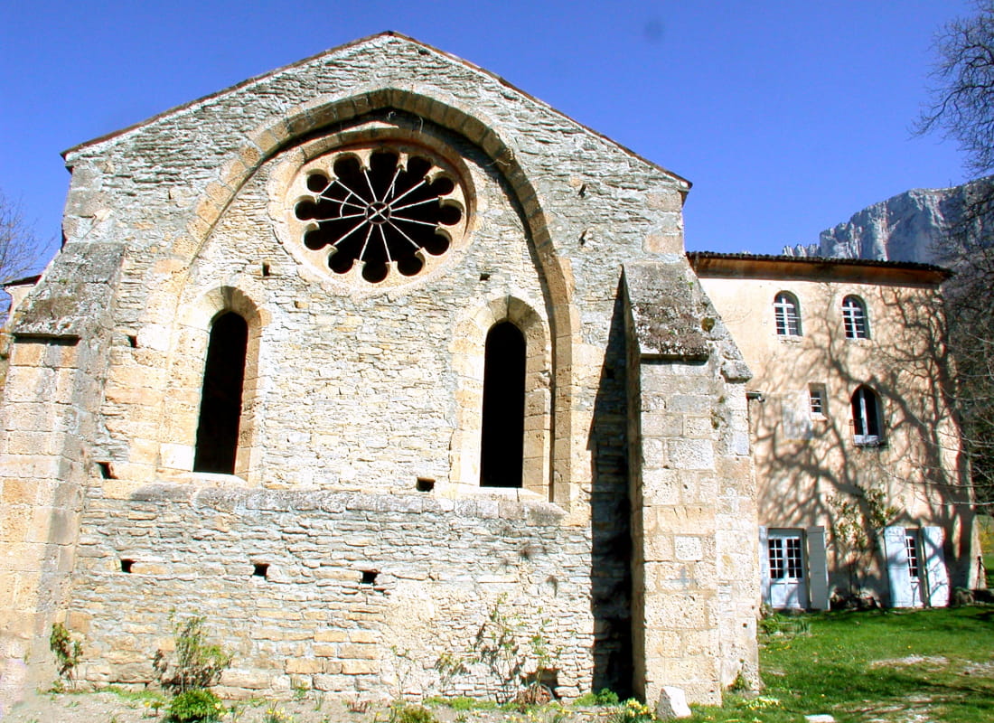
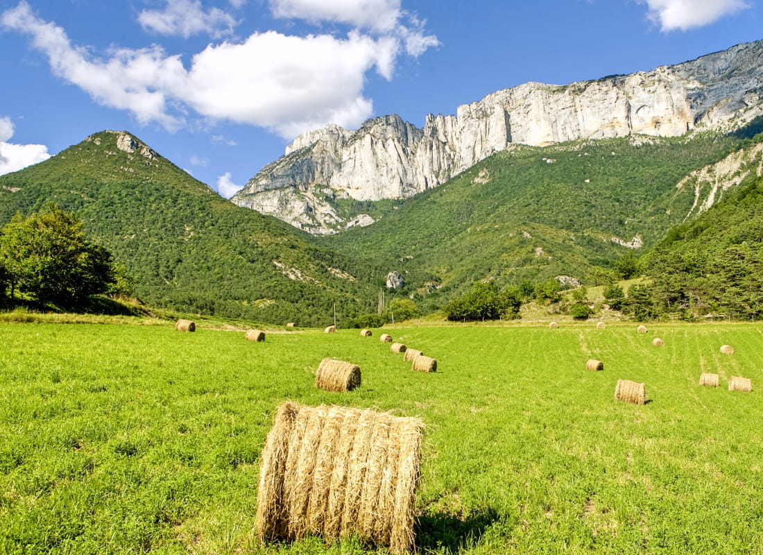
Reach 7th heaven on a balcony on the slopes of Glandasse to find the faith that the Cistercian monks of the ancient Valcroissant abbey came here to seek, between the generous valley of the River Drôme and the sheer cliffs of the Vercors.
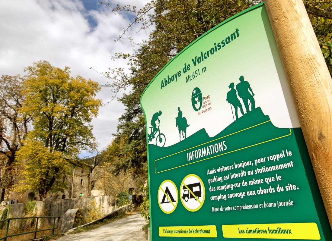
- AddressAbbaye de Valcroissant
26150 Die - Phone04 75 22 03 03
- Emailcontact@diois-tourisme.com
- WebsiteSee the website
Our tips
- Details about route marking :
Balisage jaune et vert (PR) et poteaux de signalétique directionnelle. - Difficult stretches :
Franchissement d'un talweg dans le fond du vallon du Paradis. - Références topographiques :
Topoguide "Le Diois à pied - Aux sources de la Drôme" de la Fédération Française de Randonnée. - Map references :
TOP 25 IGN 3237
Drôme Tourisme cannot be held responsible for any problems encountered along the route.
Any problems encountered can be outlined here:
Author: Conseil Départemental de la Drôme - Apidae Tourisme
To show the map
0M
0M