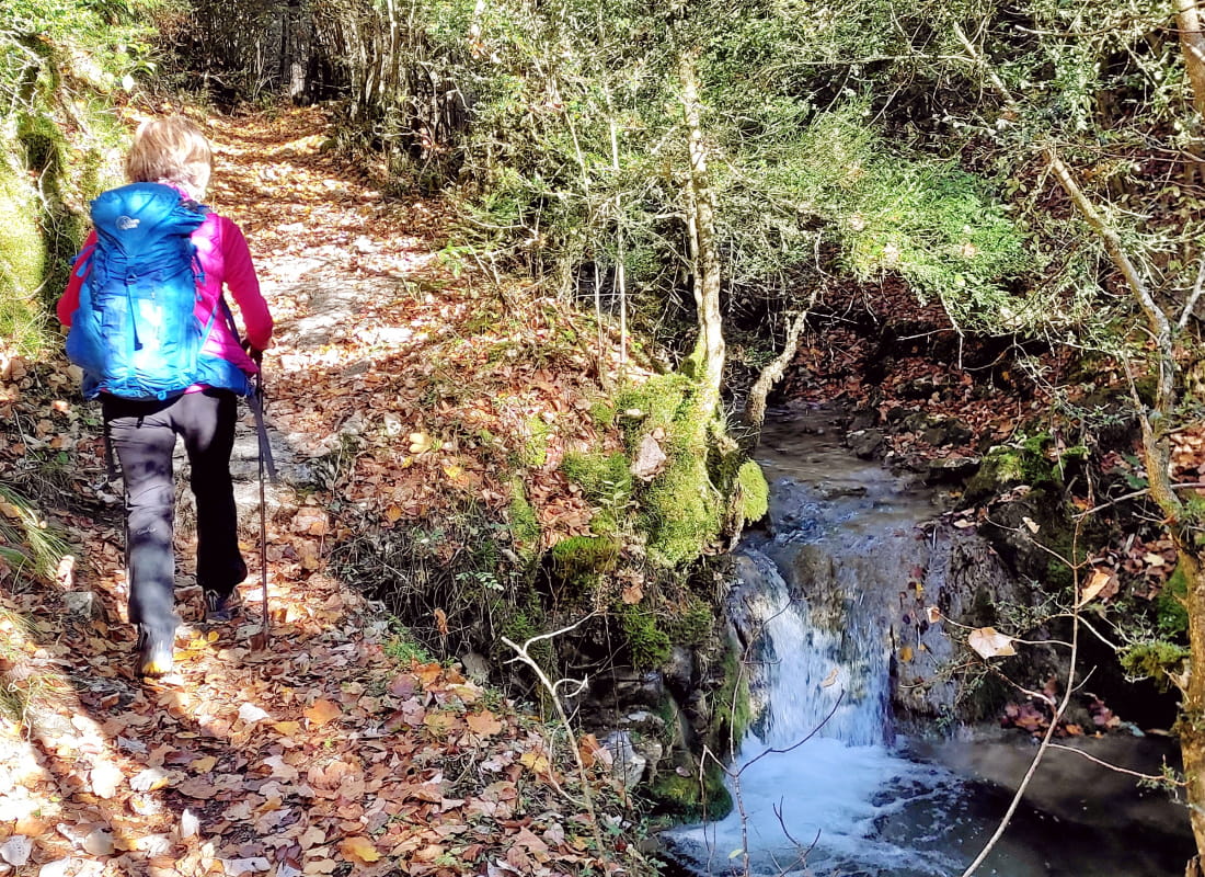
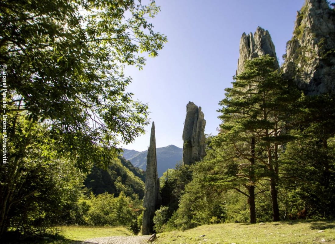
Les Sucettes de Borne par le vallon de Plainie
Ajouter au carnet de voyage
- Distance11,9 km
- Duration4h30
- TypeCircular
- DifficultyModerate
- Total altitude change+ 650 m
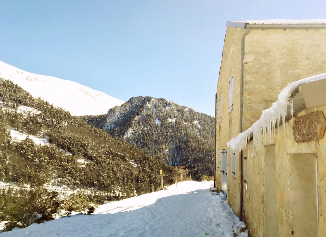
- Departure/arrivalGlandage
- Route markingYes
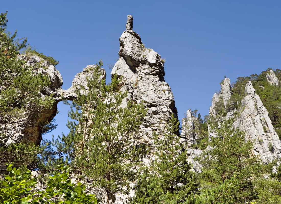
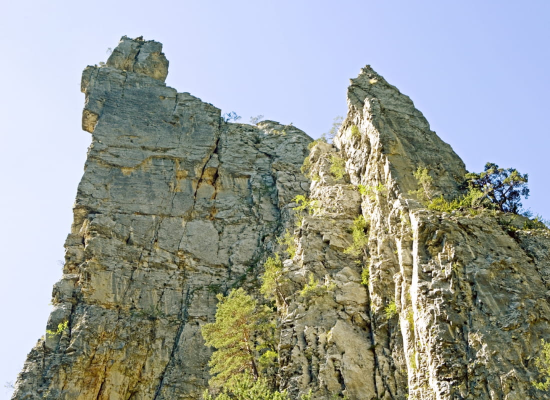
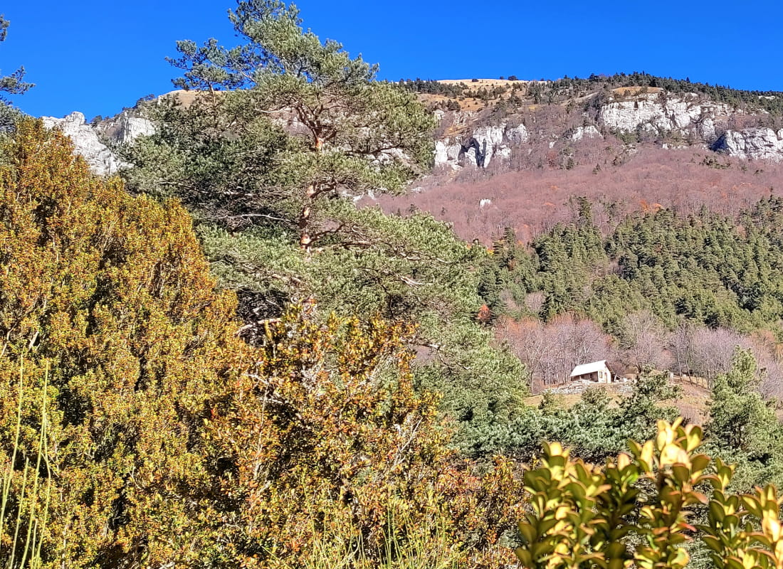
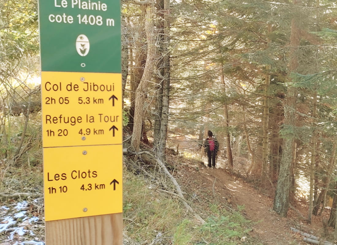
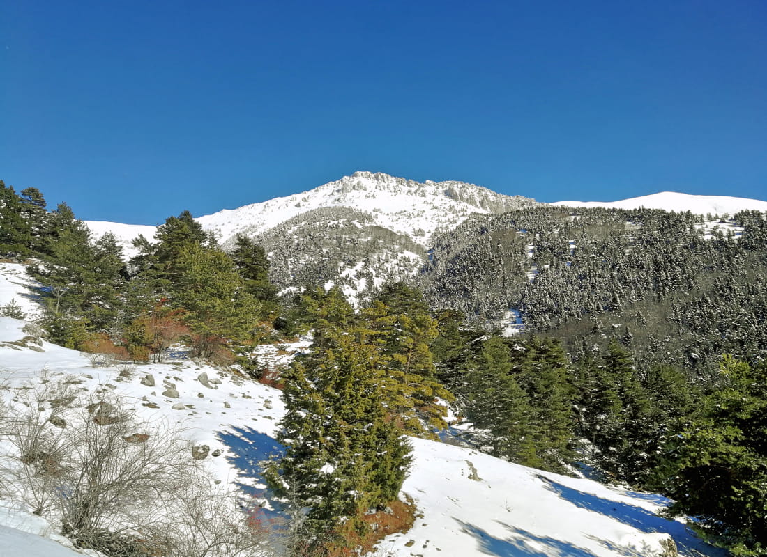
After the wooded valleys, open glades and alpine pastures, it's up to the imagination to find the drawbridge, totem pole, rocket, ice cream or sphinx drawn by the curious blades of tapered rock gilding their faces at the edge of the ruis...
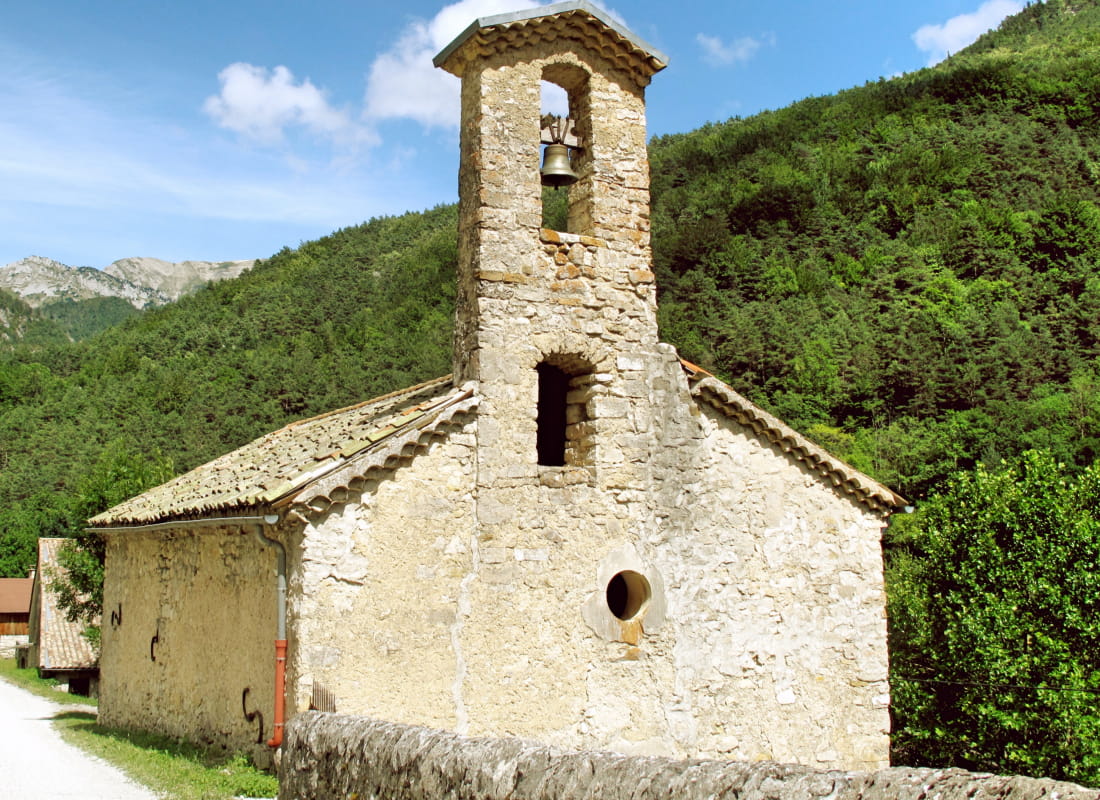
- AddressHameau de Borne
26410 Glandage - Phone04 75 22 03 03
- Emailcontact@diois-tourisme.com
- WebsiteSee the website
Our tips
- Details about route marking :
Balisage jaune et vert (PR) et poteaux de signalétique directionnelle. - Références topographiques :
Topoguide "Le Diois à pied - Aux sources de la Drôme" de la Fédération Française de Randonnée. - Map references :
TOP25 IGN 3237
Drôme Tourisme cannot be held responsible for any problems encountered along the route.
Any problems encountered can be outlined here:
Author: Conseil Départemental de la Drôme - Apidae Tourisme
To show the map
0M
0M