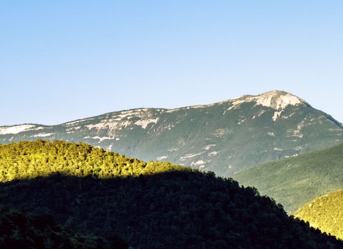
Le pas de Bouillanain et le But Saint-Genix
Ajouter au carnet de voyage
- Distance19,9 km
- Duration7h30
- TypeCircular
- DifficultyVery difficult
- Total altitude change+ 1138 m
- Departure/arrivalSaint-Julien-en-Quint
- Route markingYes
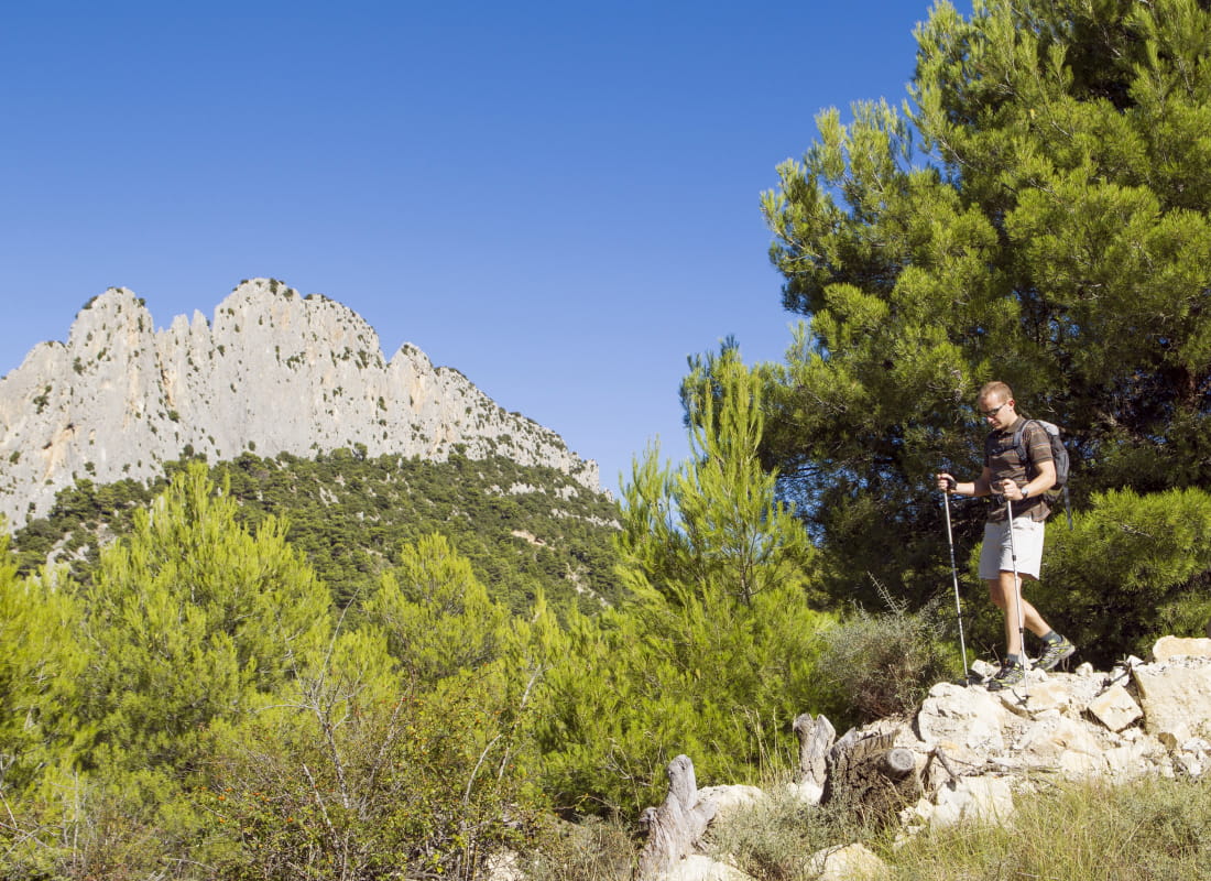
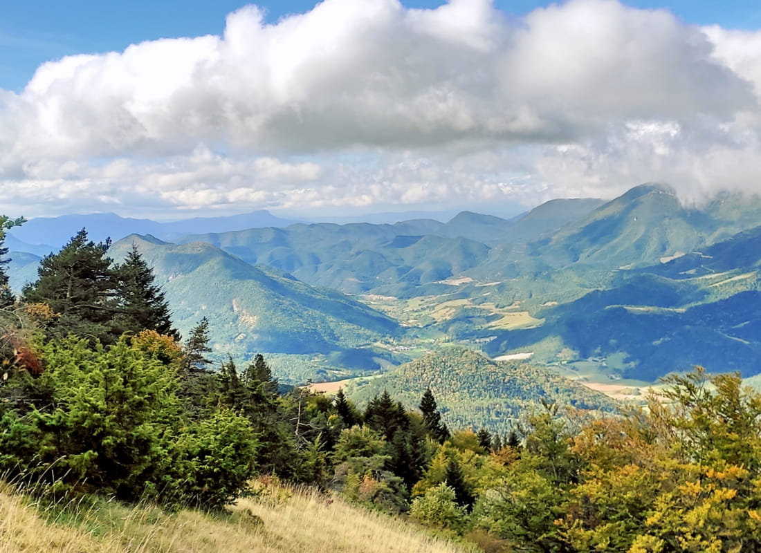
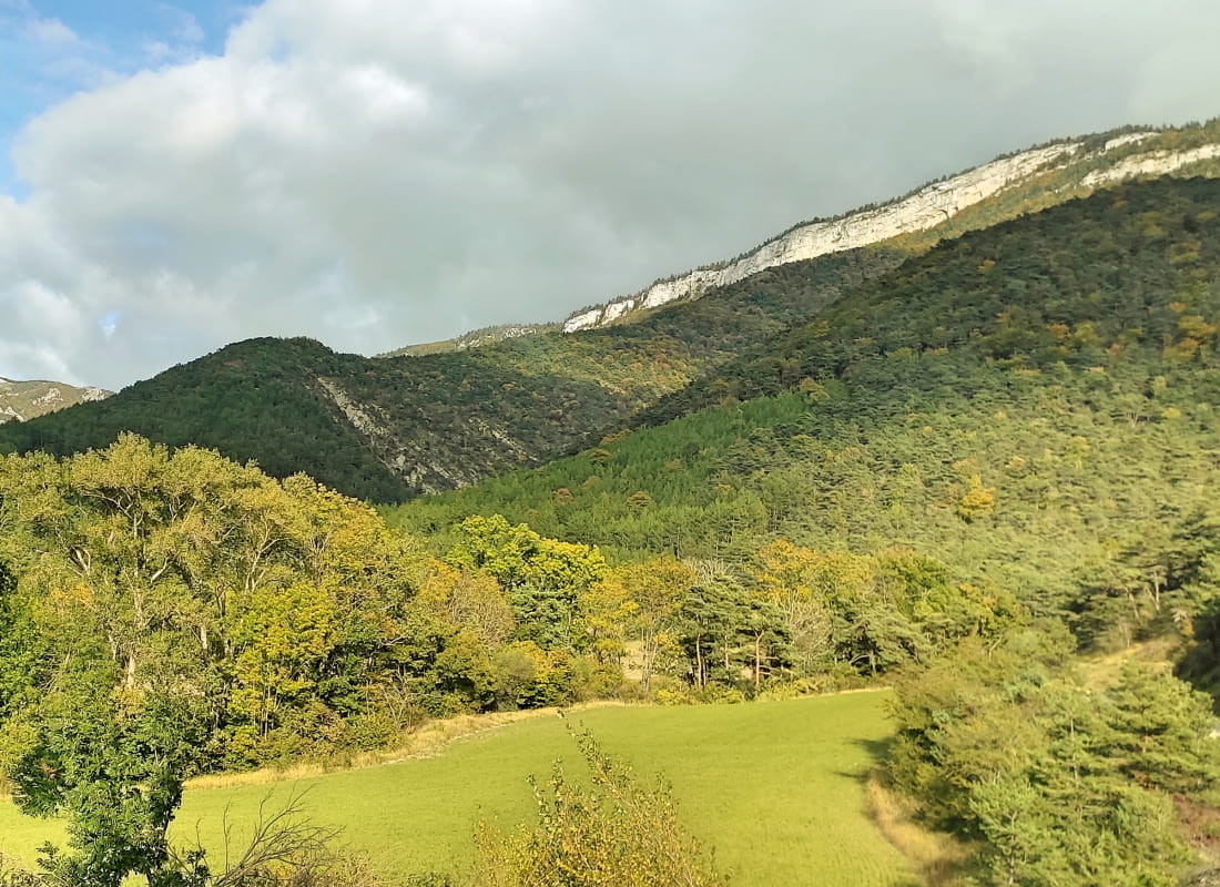
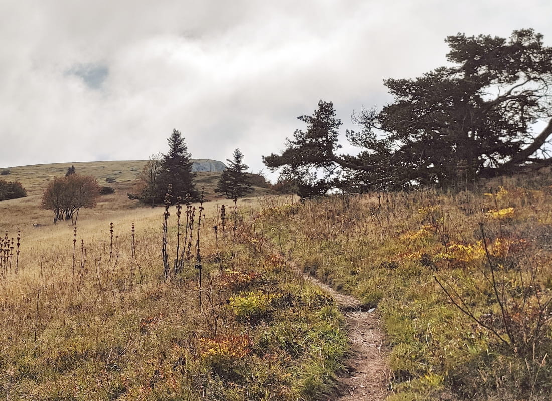
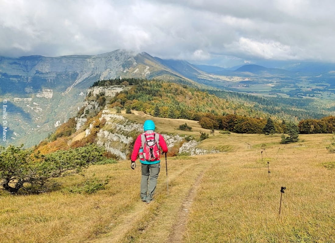
Departing from the colorful agricultural checkerboard of the Quint valley, this emblematic traverse on the ridgeline between cliffs and plateau rises like a lookout above the Drôme valley and opens onto one of the most beautiful panoramas ...
- Address26150 Saint-Julien-en-Quint
- Phone04 75 22 03 03
- Emailcontact@diois-tourisme.com
- WebsiteSee the website
Our tips
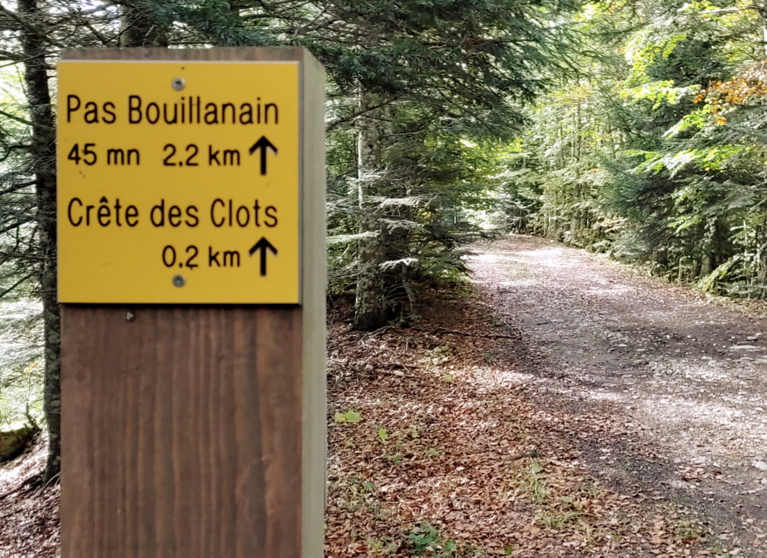
- Details about route marking :
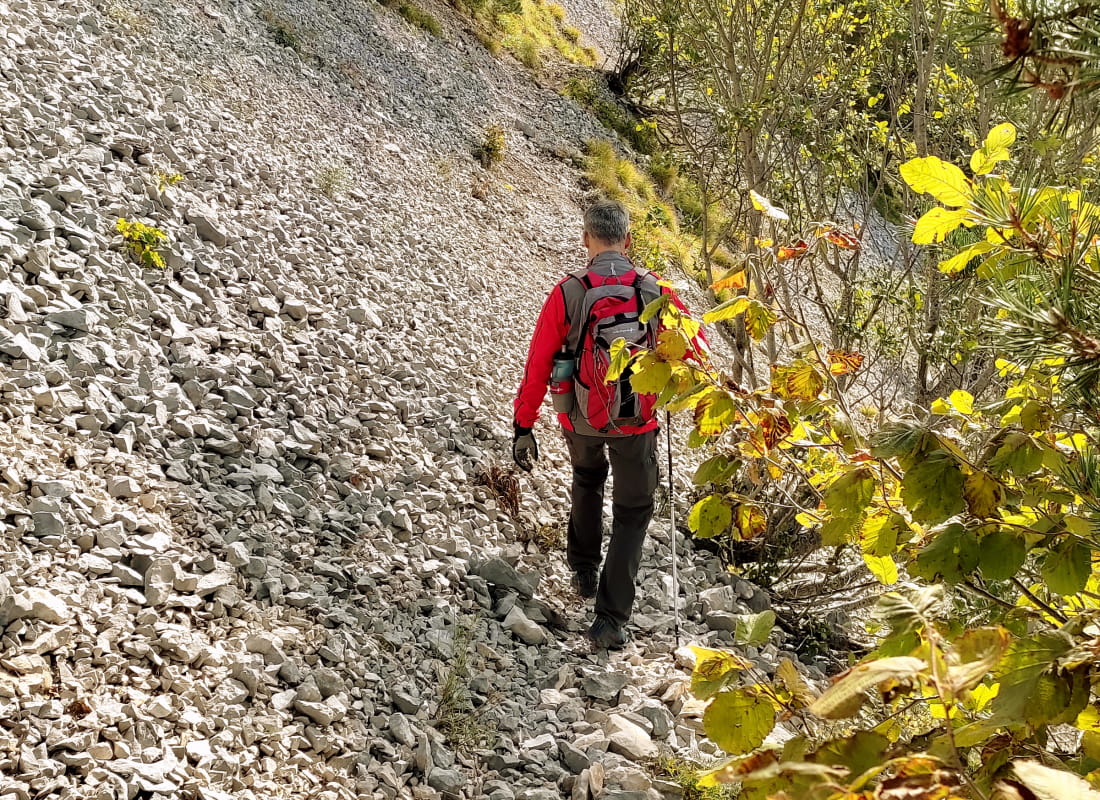
Balisage jaune et vert (PR) et rouge et blanc (GR) avec poteaux de signalétique directionnelle. - Difficult stretches :
Marche technique dans les pierriers en dévers du pas de Bouillanain aux Quatre-Chemins. - Références topographiques :
Topoguide "Le Diois à pied - Aux sources de la Drôme" de la Fédération Française de Randonnée. - Map references :
TOP 25 IGN 3237
Drôme Tourisme cannot be held responsible for any problems encountered along the route.
Any problems encountered can be outlined here:
Author: Conseil Départemental de la Drôme - Apidae Tourisme
To show the map
0M
0M