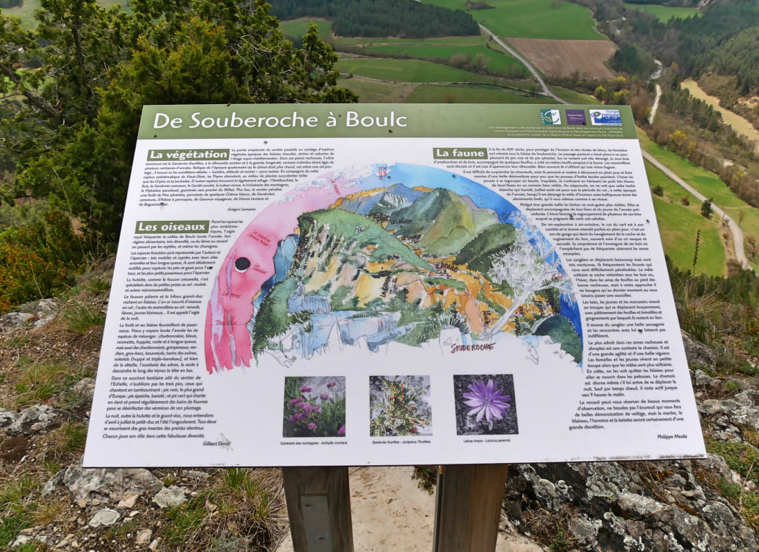
Les balcons de Soubreroche
Ajouter au carnet de voyage
- Distance11,1 km
- Duration4h30
- TypeCircular
- DifficultyDifficult
- Total altitude change+ 700 m
- Departure/arrivalBoulc
- Route markingYes
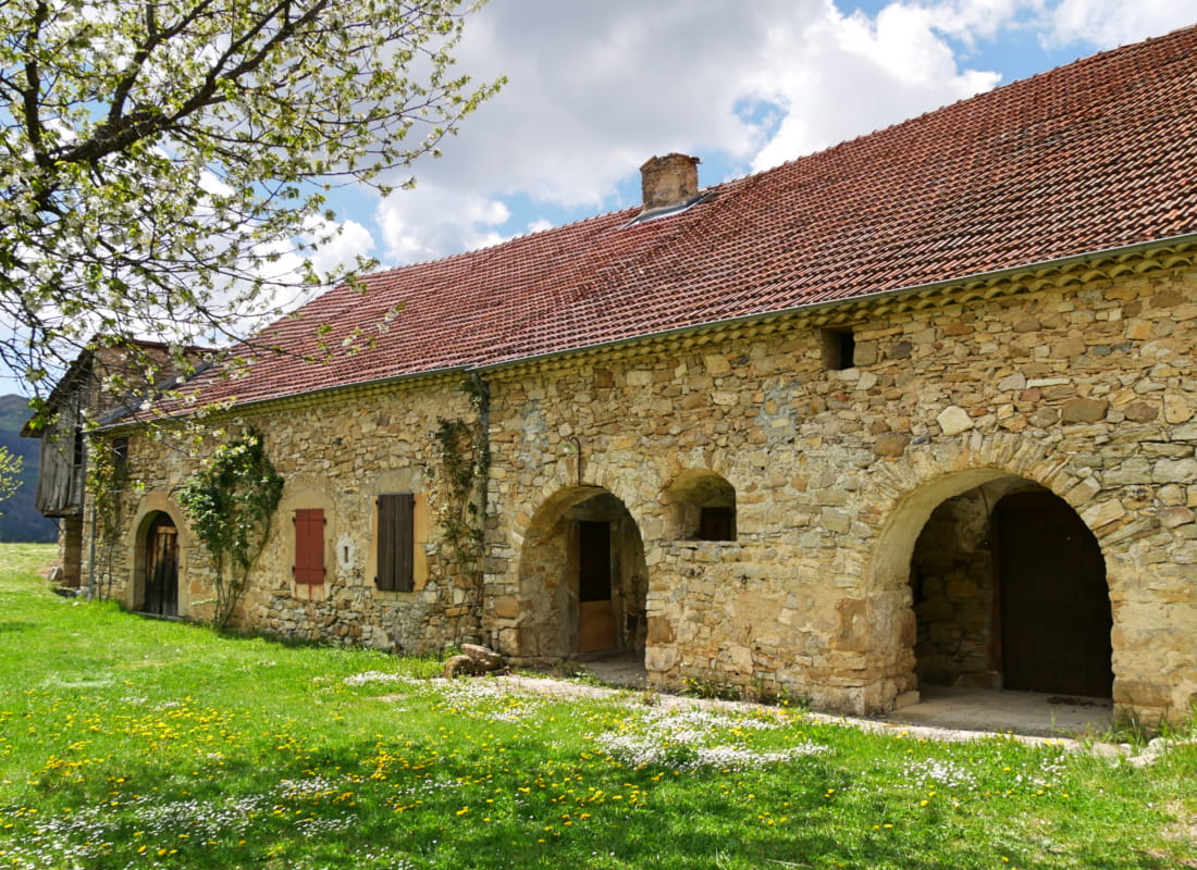
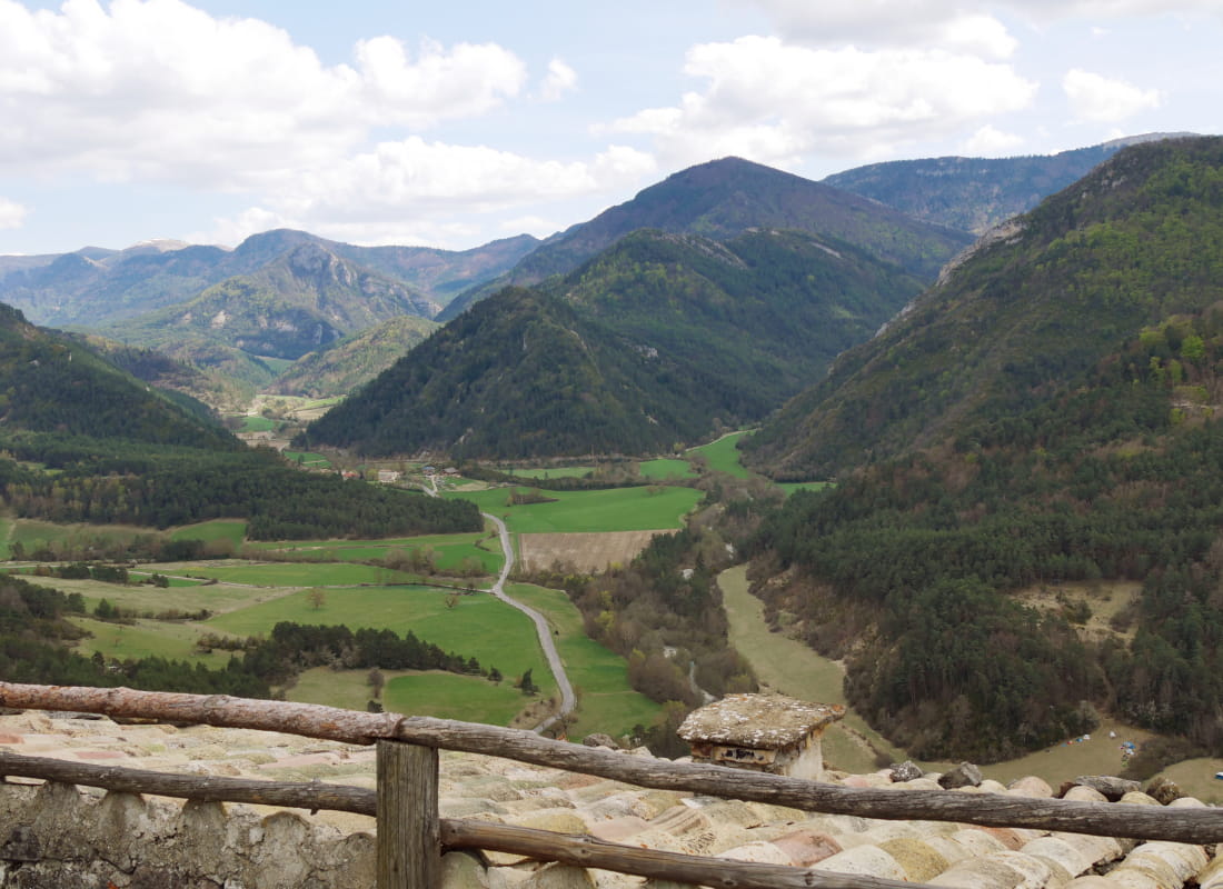
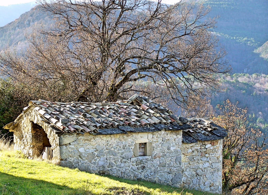
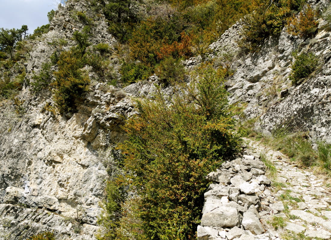
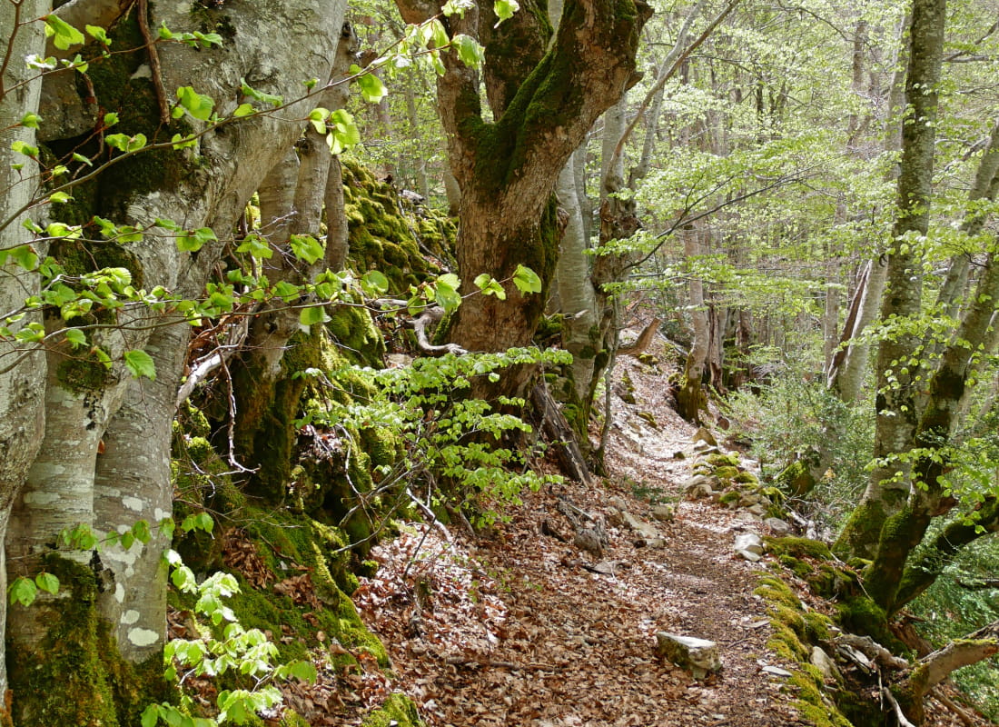
Built into the cliffs overlooking the Gâts gorges, the aerial path leads to the stone buildings of the hamlet, perched on its small suspended plateau, while offering the cool cover of remarkably large beech trees...
- Address26410 Boulc
- Phone04 75 22 03 03
- Emailcontact@diois-tourisme.com
- WebsiteSee the website
Our tips
- Details about route marking :
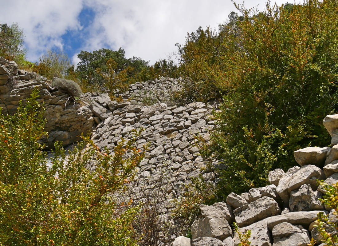
Balisage jaune (PR). - Difficult stretches :
Circuit déconseillé par temps de brouillard, de pluie ou de neige; passages exposés en bord de falaise au milieu du parcours. - Références topographiques :
Topoguide "Le Diois à pied - Aux sources de la Drôme" de la Fédération Française de Randonnée. - Map references :
TOP 25 IGN 3237
Drôme Tourisme cannot be held responsible for any problems encountered along the route.
Any problems encountered can be outlined here:
Author: Conseil Départemental de la Drôme - Apidae Tourisme
To show the map
0M
0M