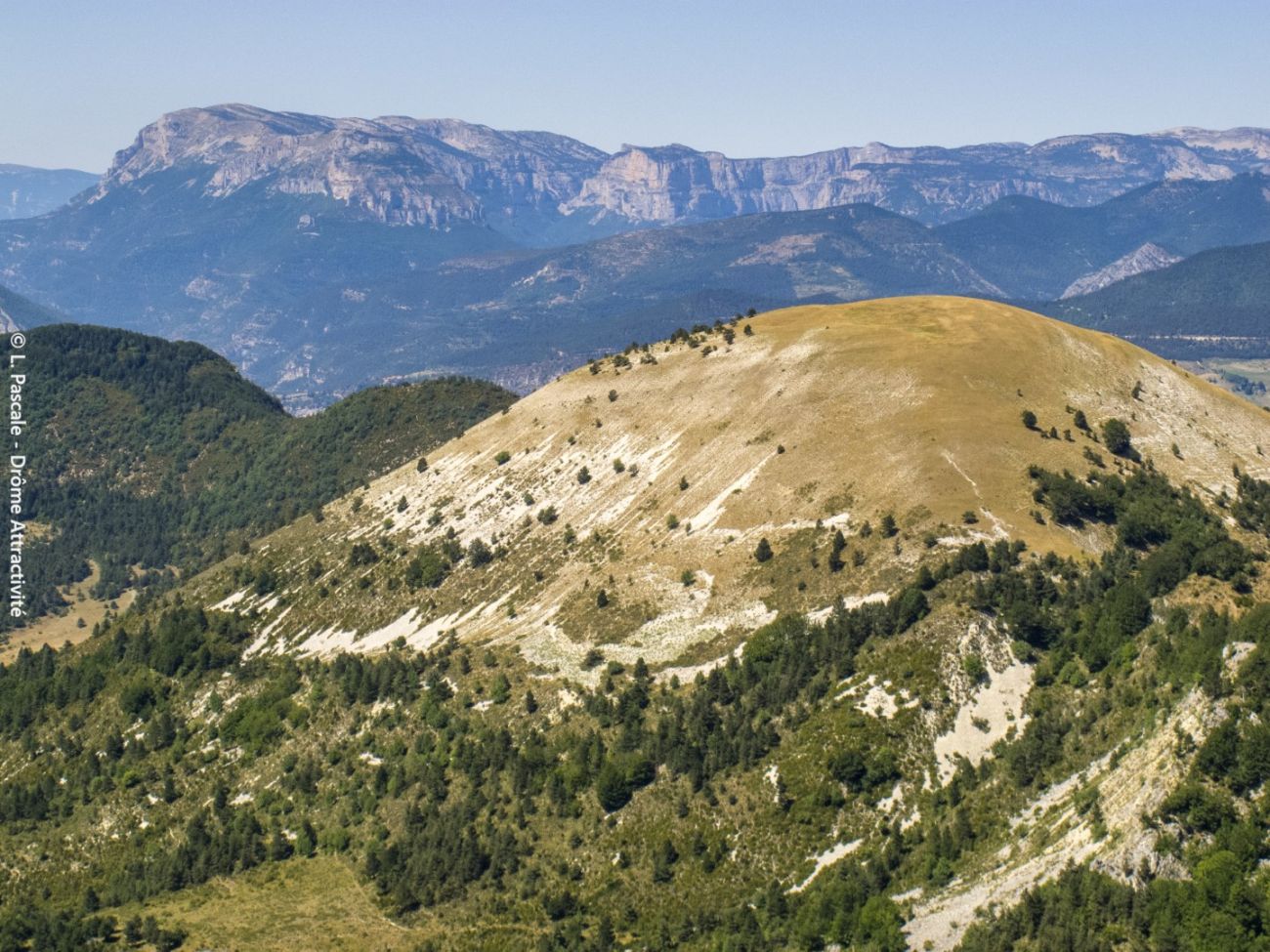
Le col de Cabre et Val-Maravel
Ajouter au carnet de voyage
- Distance19.61 km
- Duration7h
- TypeCircular
- DifficultyDifficult
- Total altitude change+ 900 m
- Departure/arrivalBeaurières
- Route markingYes
Between the Drôme and the Hautes-Alpes, Hannibal and his elephants are said to have passed through this forest on the pass, which conceals a winding road with an astonishing railroad line, and the Maravel valley, now wild again, with its hamlets...
- Address26310 Beaurières
- Phone04 75 22 03 03
- Emailcontact@diois-tourisme.com
- WebsiteSee the website
Our tips
- Details about route marking :
Balisage jaune (PR) et blanc/rouge (GR) avec poteaux de signalétique directionnelle. - Références topographiques :
Topoguide "Le Diois à pied - Aux sources de la Drôme" de la Fédération Française de Randonnée. - Map references :
TOP 25 IGN 3238
Drôme Tourisme cannot be held responsible for any problems encountered along the route.
Any problems encountered can be outlined here:
Author: Conseil Départemental de la Drôme - Apidae Tourisme
To show the map
0M
0M