Les crêtes de Praloubeau
Ajouter au carnet de voyage
- Distance11,1 km
- Duration4h30
- TypeCircular
- DifficultyDifficult
- Total altitude change+ 700 m
- Departure/arrivalJonchères
- Route markingYes
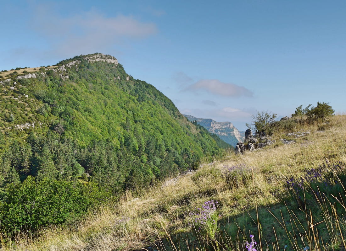
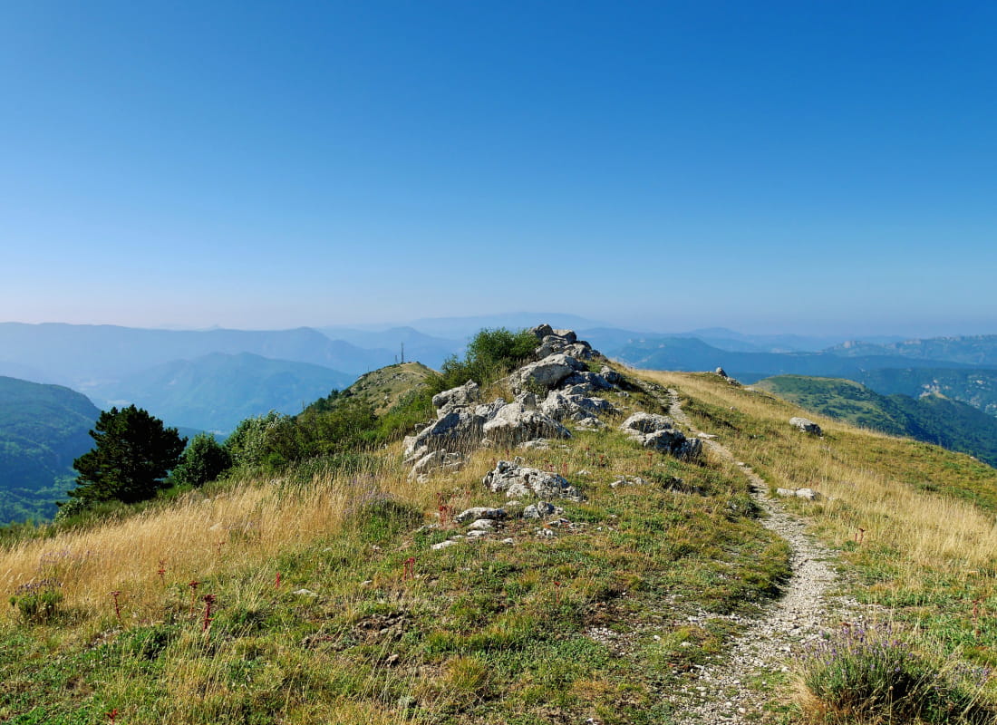
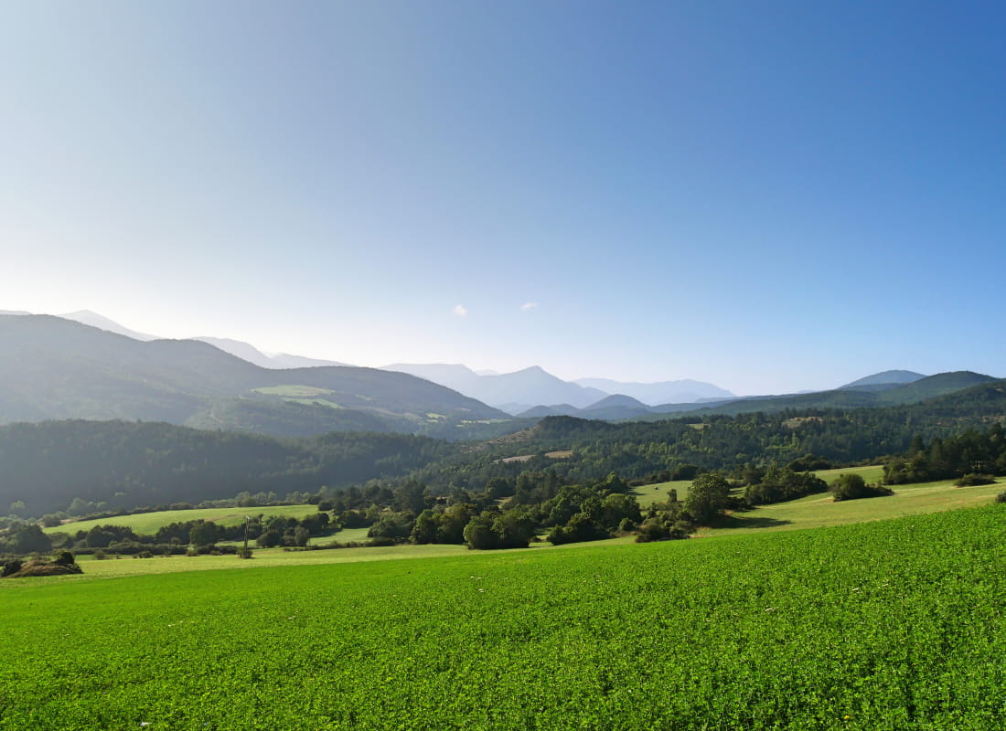
The Diois becomes part of the Baronnies on this path... or the other way round. The plant and geological battleground between the Mediterranean and the Alps rages on for 3 km on the panoramic crest, where peonies brighten up the field of...
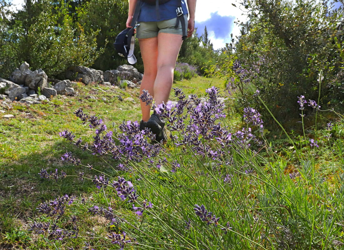
Les pivoines sauvages, dites officinales, se plaisent sur cette longue crête, dans la montée du col de la Motte et dans la descente du col de Volvent. Cette grande fleur, protégée au niveau national, agrémente de ses pourpres les abords du sentier de mi-mai à mi-juin.
- AddressMairie
26310 Jonchères - Phone04 75 22 03 03
- Emailcontact@diois-tourisme.com
- WebsiteSee the website
Our tips
- Details about route marking :
Balisage jaune (PR) et poteaux de signalétique directionnelle. - Références topographiques :
Topoguide "Le Diois à pied - Aux sources de la Drôme" de la Fédération Française de Randonnée. - Map references :
TOP25 IGN3238
Drôme Tourisme cannot be held responsible for any problems encountered along the route.
Any problems encountered can be outlined here:
Author: Conseil Départemental de la Drôme - Apidae Tourisme
To show the map
0M
0M