Le col de la Maure
Ajouter au carnet de voyage
- Distance9,9 km
- Duration3h30
- TypeCircular
- DifficultyModerate
- Total altitude change+ 500 m
- Departure/arrivalEstablet
- Route markingYes
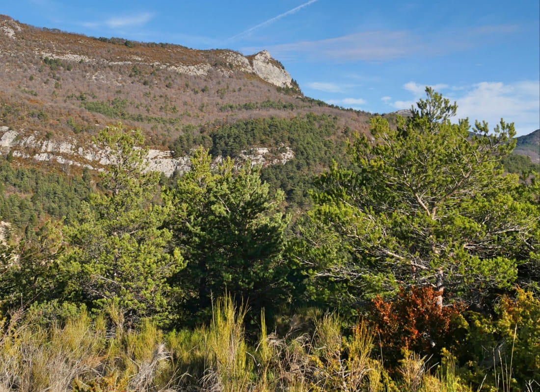
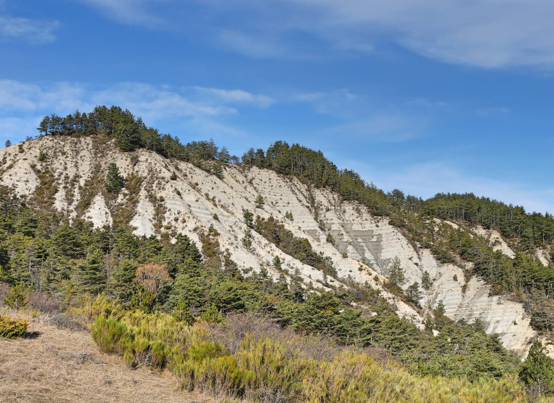
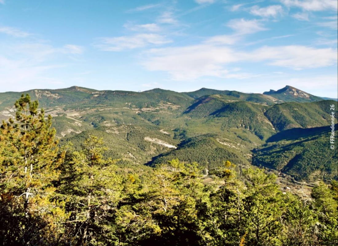
Immerse yourself in the wild oak woodland of the black marl country known here as "roubines", and emerge on the ridge with a feeling of freedom given by this ocean of greenery as far as the eye can see in the Establet, Motte-Chalancon and Rottier valleys.
- AddressMairie
26470 Establet - Phone04 75 22 03 03
- Emailcontact@diois-tourisme.com
- WebsiteSee the website
Our tips
- Details about route marking :
Balisage jaune (PR). - Références topographiques :
Topoguide "Le Diois à pied - Aux sources de la Drôme" de la Fédération Française de Randonnée. - Map references :
TOP 25 IGN 3238
Drôme Tourisme cannot be held responsible for any problems encountered along the route.
Any problems encountered can be outlined here:
Author: Conseil Départemental de la Drôme - Apidae Tourisme
To show the map
0M
0M