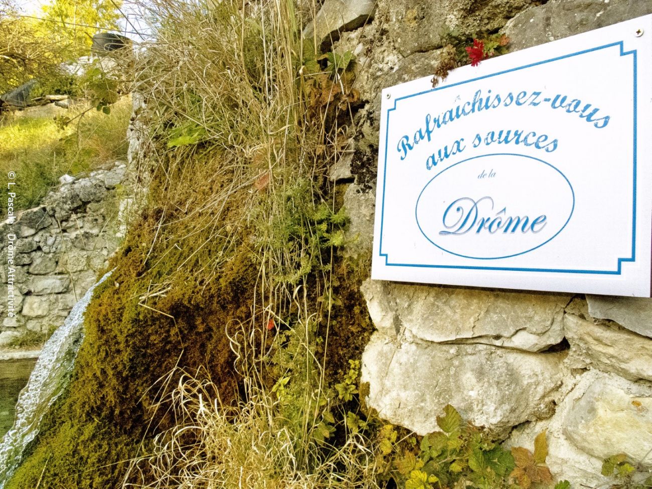
Aux sources de la Drôme
Ajouter au carnet de voyage
- Distance14.86 km
- Duration5h
- TypeCircular
- DifficultyModerately difficult
- Total altitude change+ 510 m
- Departure/arrivalValdrôme
- Route markingYes
This hike follows the banks of the Drôme, taking in 2 interpretive trails to unravel the mysteries of the wild river's ecosystem and trace the eventful history of the village of La Bâtie-des-Fonds, which for me has been...
- Address26310 Valdrôme
- Phone04 75 22 03 03
- Emailcontact@diois-tourisme.com
- WebsiteSee the website
Our tips
- Details about route marking :
Balisage jaune (PR) et poteaux de signalétique directionnelle. - Difficult stretches :
Entre la Bâtie-des-Fonds et Chamel, 2,7 km de montée sur une toute petite route goudronnée sans ombre. - Références topographiques :
Topoguide "Le Diois à pied - Aux sources de la Drôme" de la Fédération Française de Randonnée. - Map references :
TOP 25 IGN 3238
Drôme Tourisme cannot be held responsible for any problems encountered along the route.
Any problems encountered can be outlined here:
Author: Conseil Départemental de la Drôme - Apidae Tourisme
To show the map
0M
0M