Le tour du rocher de Chalancon
Ajouter au carnet de voyage
- Distance3,7 km
- Duration2h15
- TypeCircular
- DifficultyDifficult
- Total altitude change+ 300 m
- Departure/arrivalChalancon
- Route markingYes
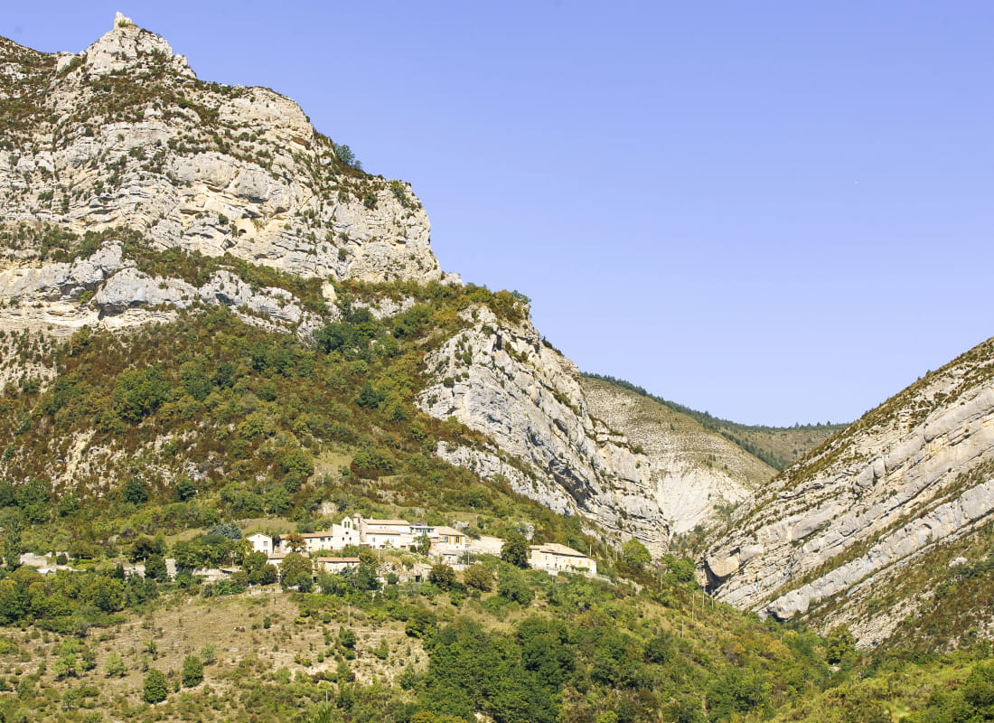
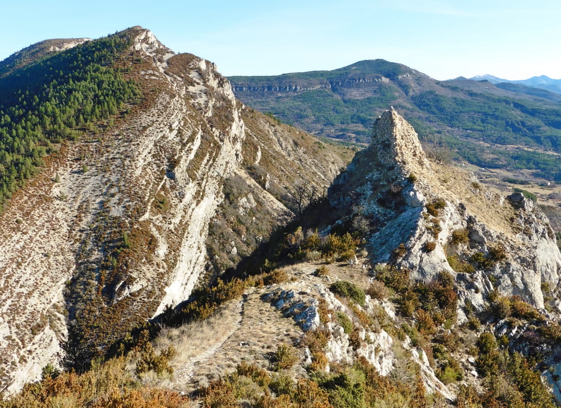
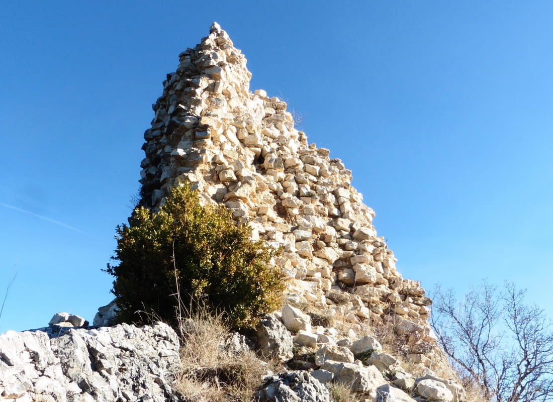
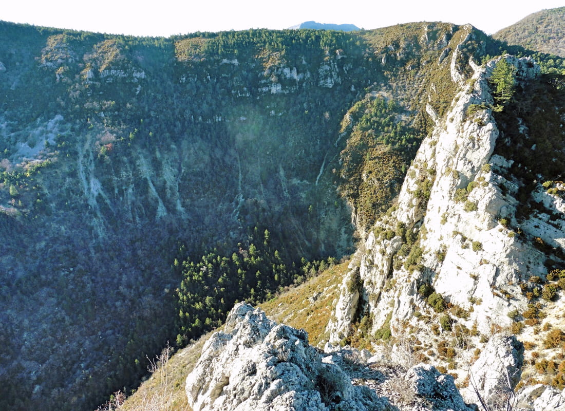
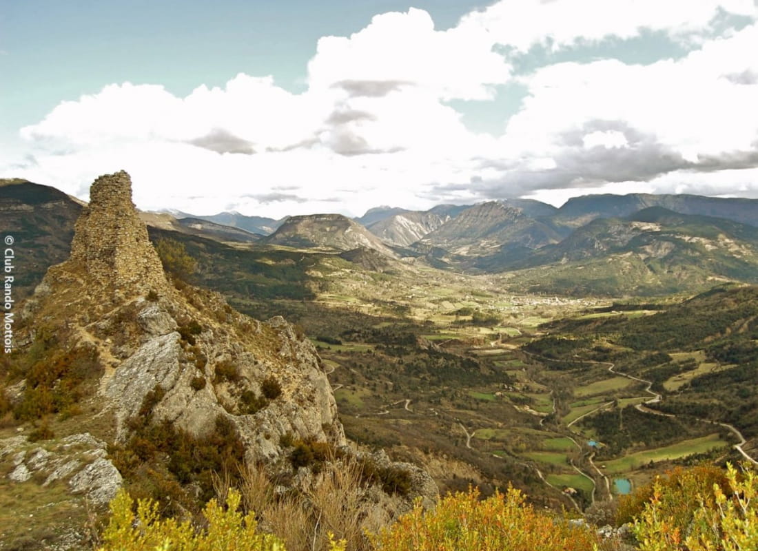
From the panoramic view of the top of the rock at the top of the steep path, it's easy to understand why the lords built their castle and watchtower here, with its plunging views over the two characteristic cluses of Pas de l'Echelle and Ech...
Possibilité d'allonger le circuit en partant depuis la déchetterie de la Motte-Chalancon (5,3km, 180 m D+ et 1h45 supplémentaire) : remonter la petite route qui longe le ruisseau de l’Aiguebelle et au fond du vallon, après le pont, gravir le chemin à droite et parvenir à Chalancon.
- AddressLe village
26470 Chalancon - Phone04 75 22 03 03
- Emailcontact@diois-tourisme.com
- WebsiteSee the website
Our tips
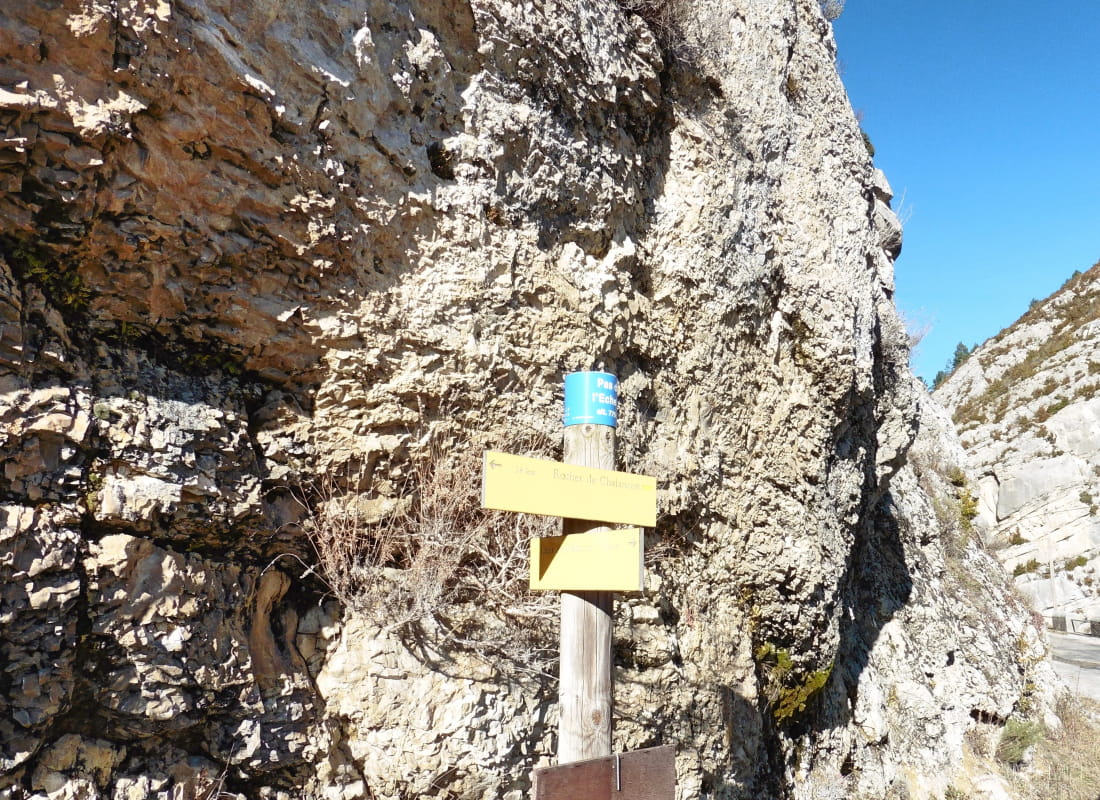
- Details about route marking :
Balisage jaune (PR) et poteaux de signalétique directionnelle. - Difficult stretches :
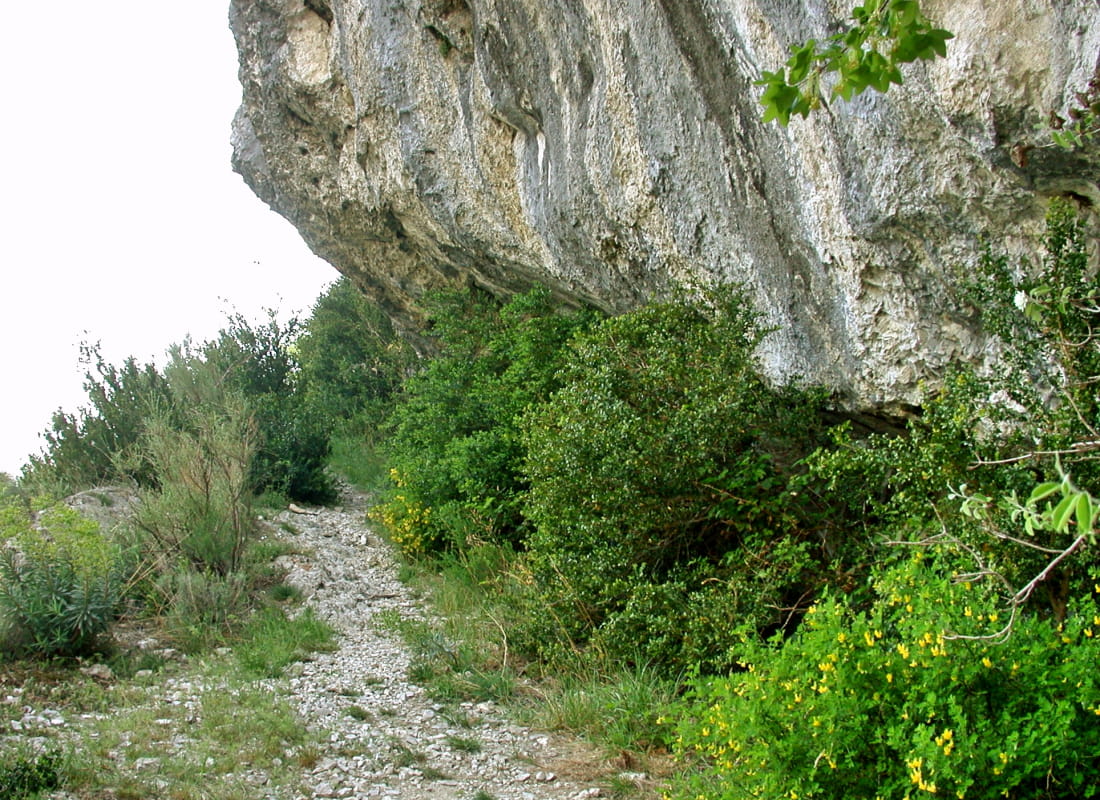
Itinéraire frolant le vide en début, puis à mi-parcours avec de courts passages équipés dans les zones érodées (prudence avec de jeunes enfants). - Références topographiques :
Topoguide "Le Diois à pied - Aux sources de la Drôme" de la Fédération Française de Randonnée. - Map references :
TOP 25 IGN 3138
Drôme Tourisme cannot be held responsible for any problems encountered along the route.
Any problems encountered can be outlined here:
Author: Conseil Départemental de la Drôme - Apidae Tourisme
To show the map
0M
0M