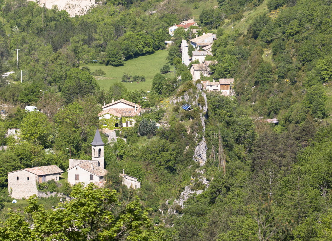
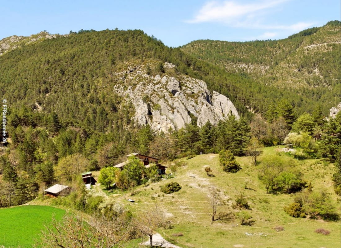
Le rocher de la Pierrelle
Ajouter au carnet de voyage
- Distance8,7 km
- Duration3h30
- TypeCircular
- DifficultyModerate
- Total altitude change+ 430 m
- Departure/arrivalBeaumont-en-Diois
- Route markingYes
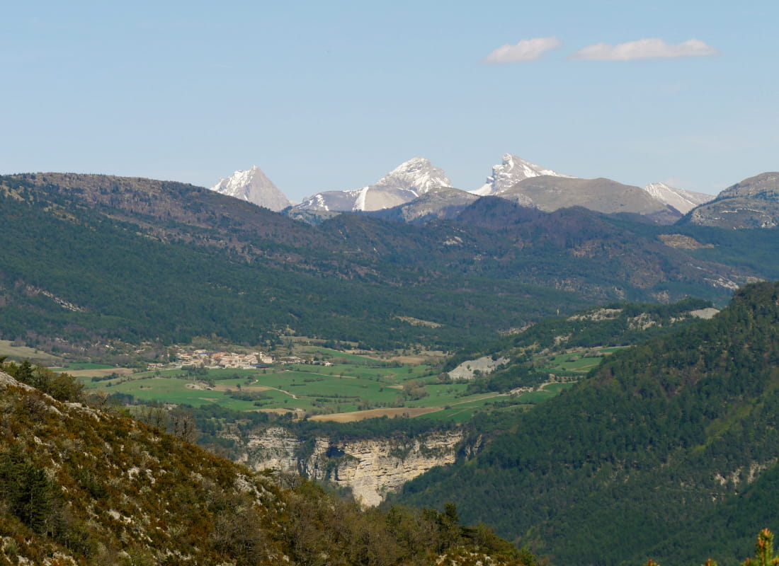
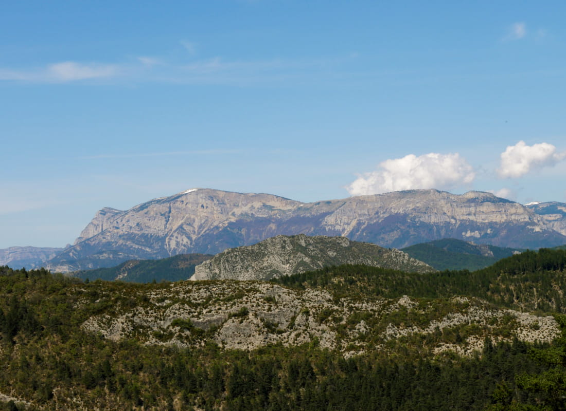
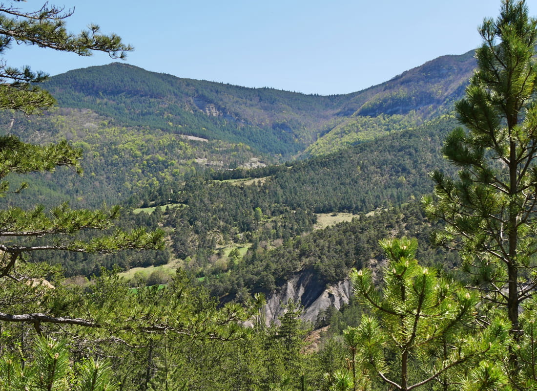
Beaumont is built at the foot of one of the cluse's rocks, crossed by a tributary of the Drôme. The landscapes are wooded and open onto vast meadows.
- Address26310 Beaumont-en-Diois
- Phone04 75 22 03 03
- Emailcontact@diois-tourisme.com
- WebsiteSee the website
Our tips
- Details about route marking :
Balisage jaune (PR). - Références topographiques :
Topoguide "Le Diois à pied - Aux sources de la Drôme" de la Fédération Française de Randonnée - Map references :
Top 25 IGN 3238
Drôme Tourisme cannot be held responsible for any problems encountered along the route.
Any problems encountered can be outlined here:
Author: Conseil Départemental de la Drôme - Apidae Tourisme
To show the map
0M
0M