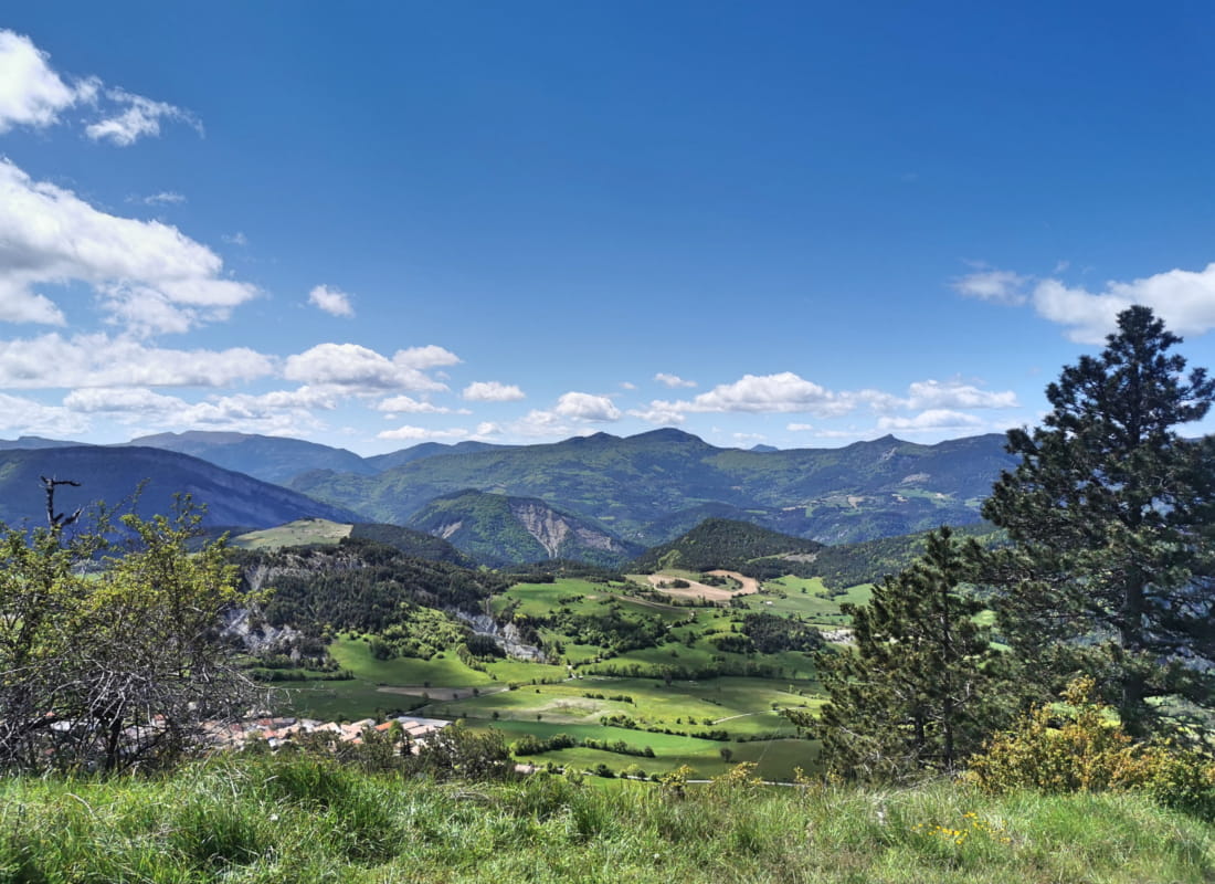
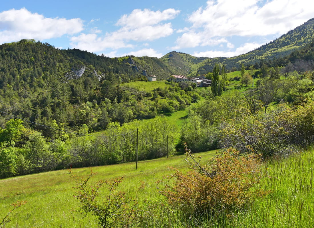
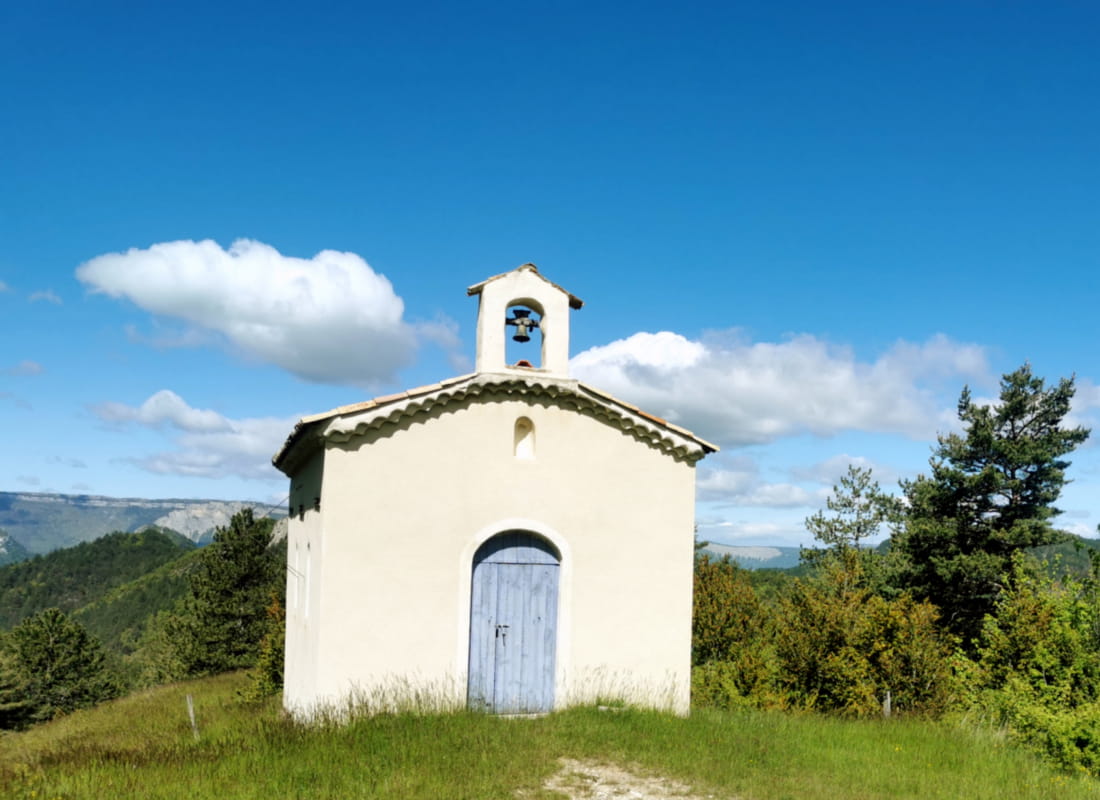
La montagne du Puy
Ajouter au carnet de voyage
- Distance12,51 km
- Duration4h30
- TypeCircular
- DifficultyDifficult
- Total altitude change+ 640 m
- Departure/arrivalLesches-en-Diois
- Route markingYes
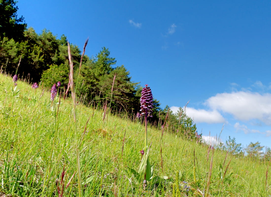
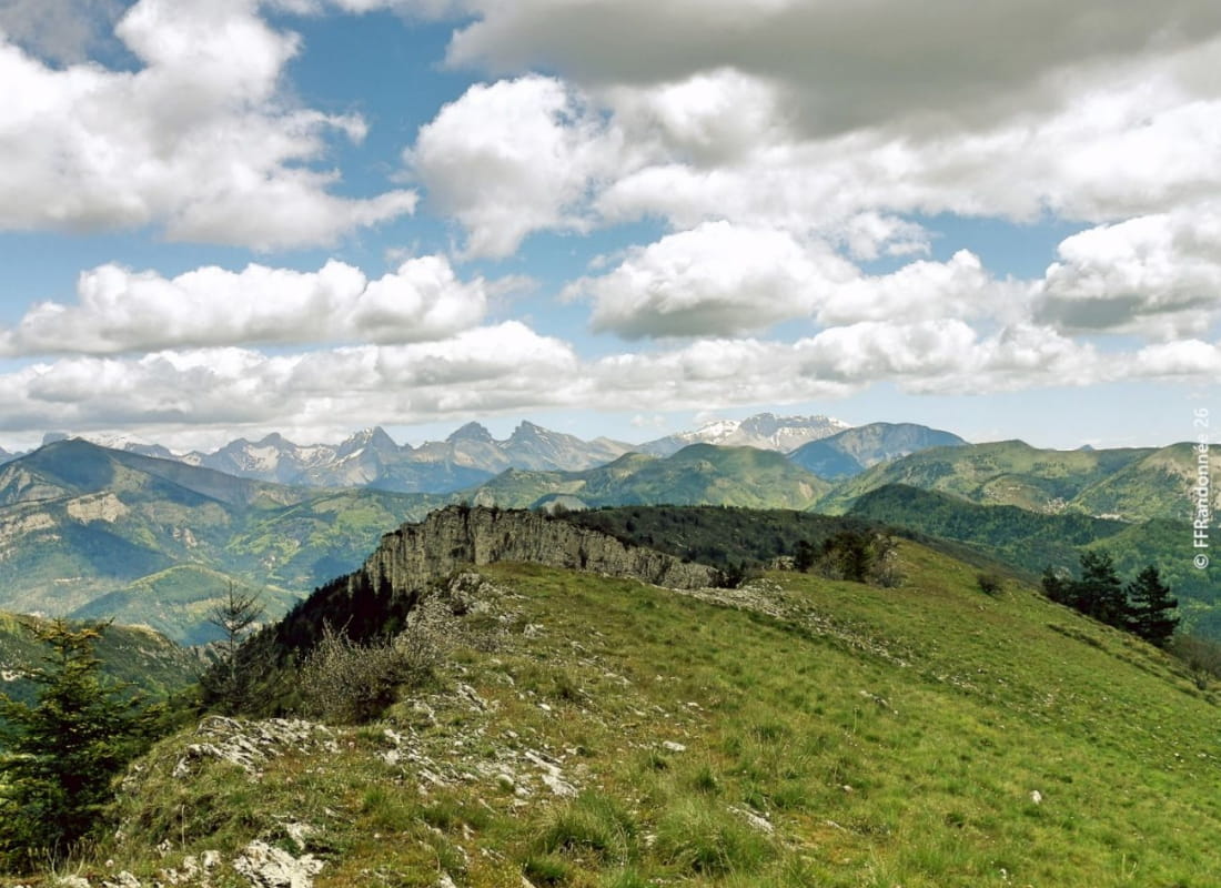
Between marl and lavender, this grassy dome rises above the plateau where a charming village sits, offering a ridge hike with gentle gradients but a slightly "high mountain" panorama.
- AddressMairie
26310 Lesches-en-Diois - Phone04 75 22 03 03
- Emailcontact@diois-tourisme.com
- WebsiteSee the website
Our tips
- Details about route marking :
Balisage jaune (PR). - Références topographiques :
Topoguide "Le Diois à pied - Aux sources de la Drôme" de la Fédération Française de Randonnée. - Map references :
TOP 25 IGN 3238
Drôme Tourisme cannot be held responsible for any problems encountered along the route.
Any problems encountered can be outlined here:
Author: Conseil Départemental de la Drôme - Apidae Tourisme
To show the map
0M
0M