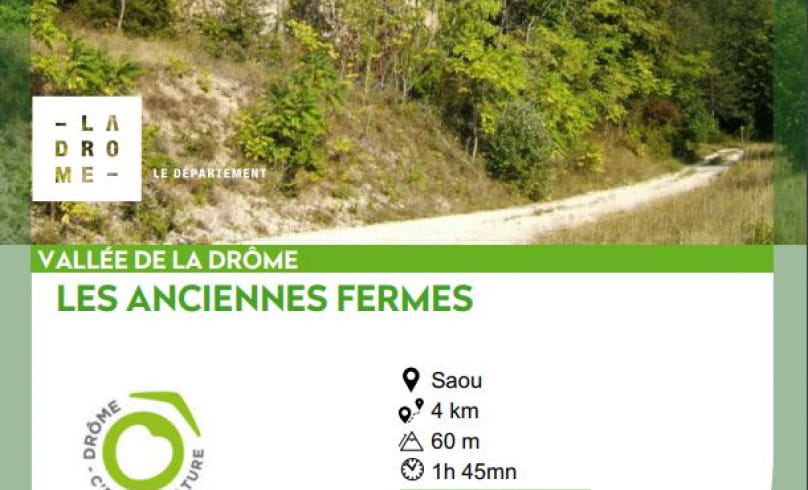
Les anciennes fermes
This walk follows in the footsteps of Saoû forest farming. The walk begins along the hay meadows at the bottom of the forest.
forest. These are late mowings, carried out after the insect and plant reproduction periods in order to preserve these species. You'll then pass by the ruins of Raillon and Fuoc, remnants of the many farms in the lower part of the forest.
- AddressParking des Sables Blancs
Route de la Forêt de Saoû
26400 Saoû - Phone04 75 63 10 88
- Emailotvaldedrome@gmail.com
Our tips
- Details about route marking :
Poteaux directionnels avec destinations et kilométrages. - Difficult stretches :
Aucun. - Références topographiques :
Fiche bons plans à pied - Vallée de la Drôme - Forêt de Saoû du conseil départemental de la Drôme. - Map references :
Carte IGN 3138 OT
Drôme Tourisme cannot be held responsible for any problems encountered along the route.
Any problems encountered can be outlined here:
Author: Conseil Départemental de la Drôme - Apidae Tourisme
To show the map
0M
0M

