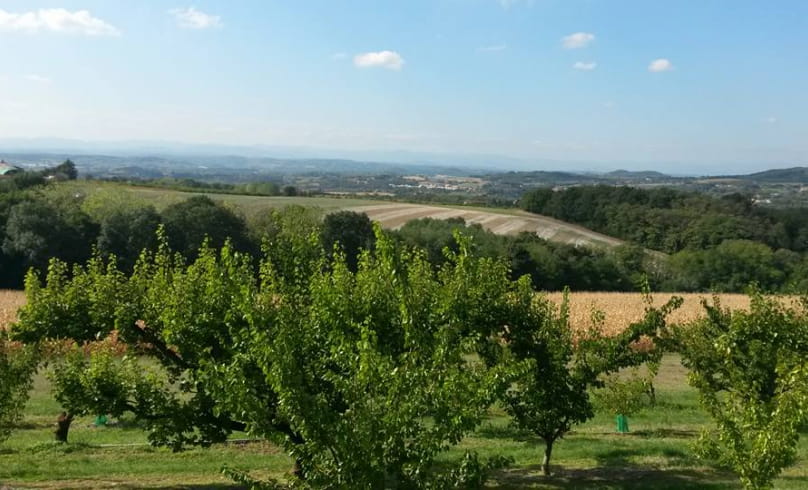
Autour de l'Herbasse
From the Pont de Chabran parking lot (alt. 220m), take the gravel path. At Les Bâties (alt. 226m), go straight on, then turn right. Join the road and continue as far as Balayer (alt. 330m), then turn right at Les Pinates (alt. 336m) and left. About 500m further on, take the wide track on the left, then leave it and turn right at the Bois de Bard crossroads (alt. 390m).continue on the right-hand track and start to descend to a wide track, then to the Biquet farm (alt. 260m).turn left, then cross the D121 to take the wide track opposite: watch out for cars! At the top, follow the meadow to the right, then continue along the mountainside path to the road. Turn right along the road around the château. When you reach the first houses, take the small path leading off the hairpin bend.
Take the road to the right as far as the D67, then turn right towards the village: watch out for traffic! 150m after the traffic circle, turn left through a housing estate, then continue on the track. Turn right between fields, then right again on the track. Water in the village. Take the D121 to the left: watch out for cars! Just after the bridge, take the wide track on the right as far as the road. Follow the road to the right for just under 900m. Turn right onto the wide track. At a hut, turn right and reach a road. Turn right onto the D53 to reach Saint-Donat: watch out for traffic! At the traffic circle, turn right onto the D67, which climbs towards Lac de Champos: watch out for cars!
- AddressDépart Pont de Chabran à 2km de Saint Donat sur la D67
26260 Saint-Donat-sur-l'Herbasse - Phone04 75 45 15 3204 75 08 10 23
- Emailinfo@ah-tourisme.com
- WebsiteSee the website
Our tips
- Details about route marking :
Follow number 11 and Yellow markings (1 triangle and 2 circles) - Références topographiques :
Les bons plans VTT pays de l'Herbasse.
Drôme Tourisme cannot be held responsible for any problems encountered along the route.
Any problems encountered can be outlined here:
Author: Conseil Départemental de la Drôme - Apidae Tourisme

