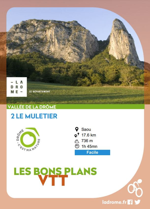
Le muletier
Ajouter au carnet de voyage
- Distance18.27 km
- Duration1h45
- TypeCircular
- DifficultyModerate
- Total altitude change+ 736 m
- Departure/arrivalSaoû
- Route markingYes
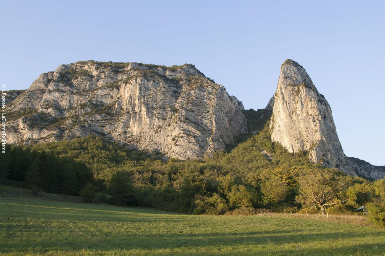
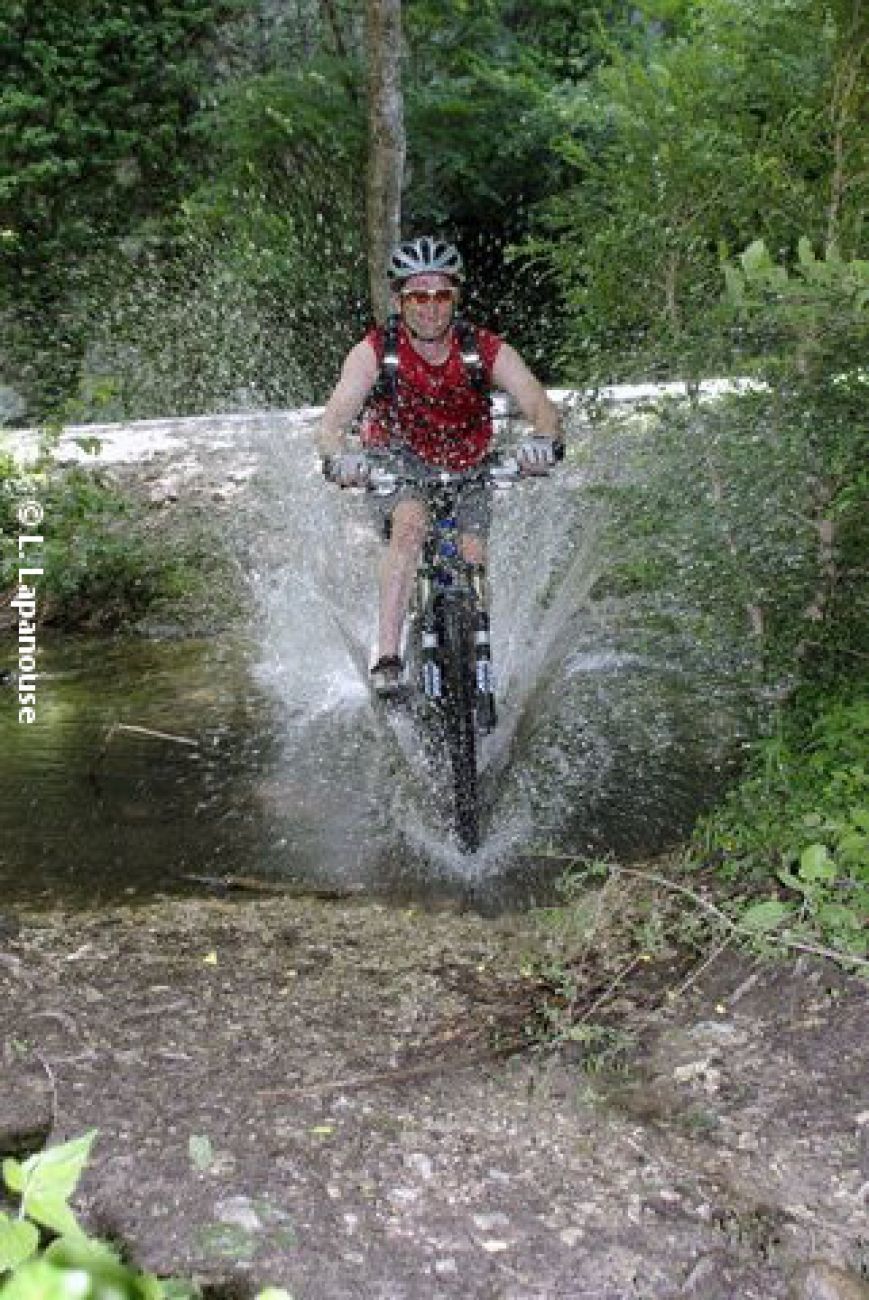
A circuit in the Saoû forest where you'll take the tourist trail before descending the mule track. This is a technical descent, with some stony sections requiring caution!
The Saoû forest, acquired under the Espaces Naturels Sensibles policy, is the Department's largest property (2,500 ha). A "classified site" since 1942, it is today
- AddressParking à l’entrée du village sur la D538 depuis Crest
26400 Saoû - Phone04 75 63 10 88
- Emailotvaldedrome@gmail.com
- WebsiteSee the website
Our tips
- Difficult stretches :
Le descente du chemin muletier est technique.
Drôme Tourisme cannot be held responsible for any problems encountered along the route.
Any problems encountered can be outlined here:
Author: Conseil Départemental de la Drôme - Apidae Tourisme
To show the map
0M
0M