PressAs a group
Cycling sports - Cycle tourism route

Gorges et forêts du Vercors

  • Distance112.29 km
  • Duration8h
  • DifficultyVery difficult
  • Total altitude change+ 3144 m
  • Departure/arrivalSaint-Jean-en-Royans
  • Route markingYes

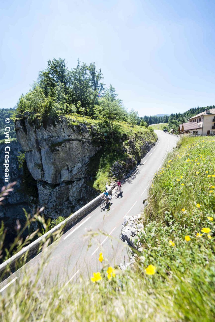
Spectacular and daring, this 112 km, 3,144 m climb for cyclists will take you on a tour of the "sublime roads of the Vercors", with their impressive routes carved into the cliffs and gorges.

To see the GPX, download the application

  • Exemple sur Android : Ici
  • Exemple sur IOS : Ici
  • Découvrir GPX Studio : Ici

Drôme Tourisme cannot be held responsible for any problems encountered along the route. 

Any problems encountered can be outlined here:

Suricate


Author: Conseil Départemental de la Drôme - Apidae Tourisme

To show the map
0M
0M
Your travel journal is empty. Add places or events to download here.
Download my travel diary
Empty