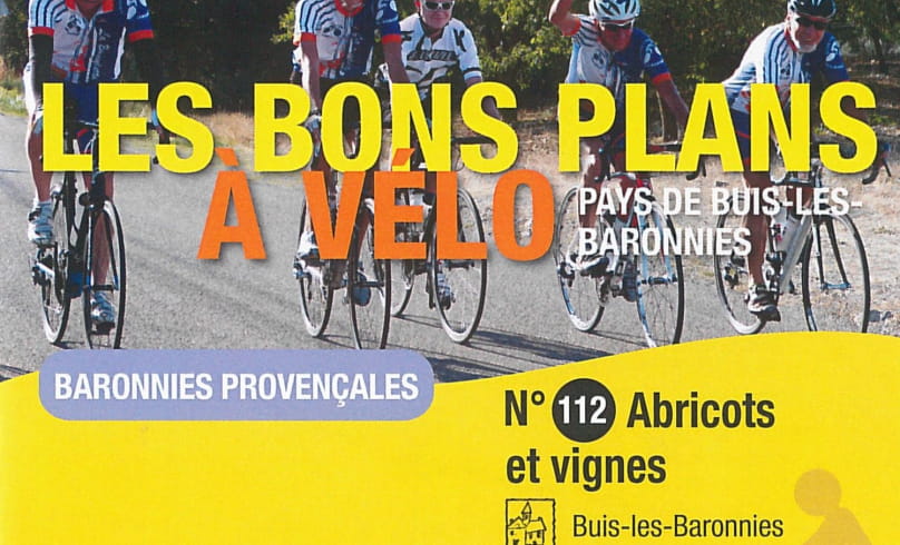
Abricots et vignes
Leaving Buis-les-Baronnies, you'll tackle the north face of the Col d'Ey through a backdrop of olive trees before entering the Sainte-Jalle valley on a road lined with apricot orchards (Orangés de Provence, Bergerons, Orangered).
road lined with apricot orchards (Orangés de Provence, Bergerons, Orangered). Once at the bottom of the valley, the road beside the river
(l'Ennuye) takes you to its confluence with the Eygues, where you pass through the village of Curnier to reach the village of Les Pilles, via a small
secondary road. You'll then come to the discreet Col de la Croix, which you'll climb via Châteauneuf-de-Bordette. You then head back down towards the Vinsobres plain, home to a famous vineyard (AOP Vinsobres), before turning off towards Puyméras and Mérindol-les-Oliviers. Finally, to reach Buis-les-Baronnies, we suggest you take the little road up to Propiac, which is magnificent but requires a little more pedal power!
- AddressBvd Michel Eysseric
26170 Buis-les-Baronnies - Phone04 75 28 04 59
- Emailbuis@baronnies-tourisme.com
- WebsiteSee the website
Our tips
- Références topographiques :
Fiche n°112
Drôme Tourisme cannot be held responsible for any problems encountered along the route.
Any problems encountered can be outlined here:
Author: Conseil Départemental de la Drôme - Apidae Tourisme

