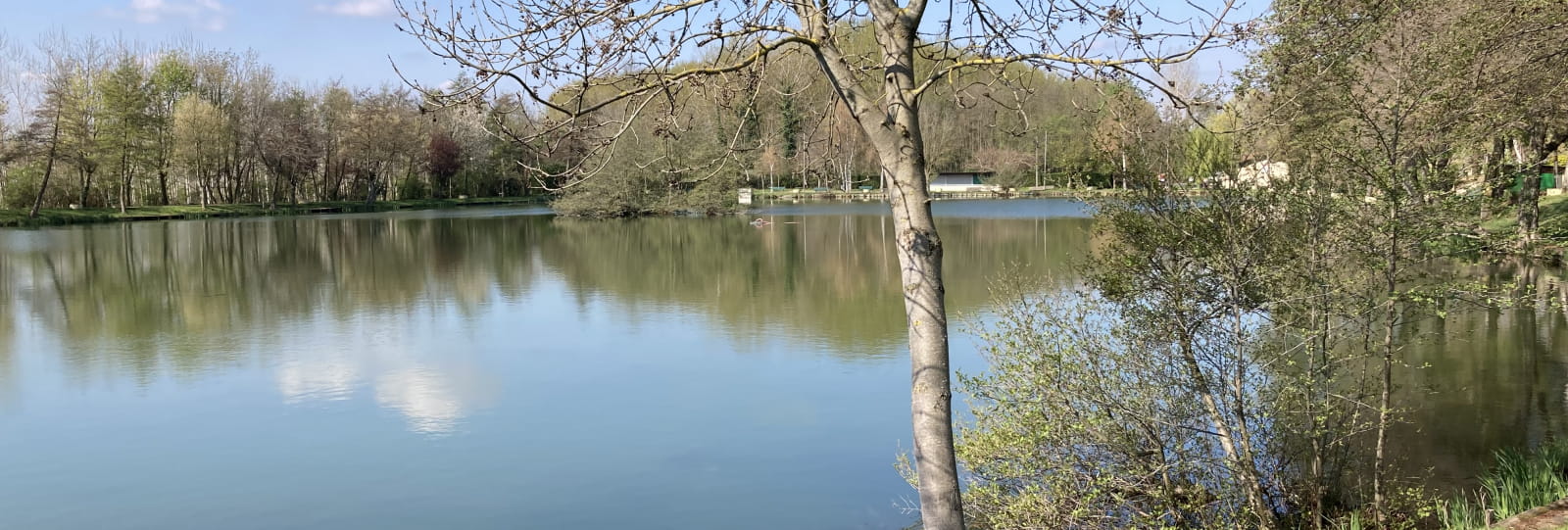
Base de loisirs de l'Argentelle
Pedestrian sports, Orientation courseWith the help of your map, set off in search of the markers and explore the Base de Loisirs de l'Argentelle! A fun way to discover orienteering sports in this well-mapped area. Map available from the tourist office or to download.
This course will enable you to discover the Argentelle leisure park, a landscaped area between the village and the lake.
The aim of the orienteering course is to use natural and man-made features (isolated trees, rocks, banks, signs, etc.) to find the markers symbolized by a red circle; the start is symbolized by a red triangle. The order of search is imposed, but you are free to choose your own route to reach the markers.
At each marker, punch your map using the red clip embedded in the wooden post.
Throughout your route, check that the pictograms on your tags correspond to the punches on each beacon.
Always confirm your position by identifying features you can see around you on the map: buildings, roads, copses, signs, crossroads...
Further information
Prices
Free access.
Télécharger les médias
Through Conseil départemental de la Drôme


