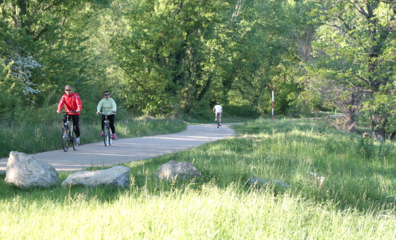
Bike trail: From the vineyard of Tain to the "Roches qui dansent"
From Tain l'Hermitage, the route climbs the Hermitage hillsides, offering exceptional panoramic views over the Rhône and Isère valleys. The rest of the route takes in the plateau road overlooking the Saint Vallier gorge. Through valleys and gentle hills, the route gently approaches Larnage. Along the way, the loop crosses the hills of the Drôme as far as the "Roches qui dansent". The route then climbs up to Chantemerle-les-blès, whose Romanesque church boasts a remarkable decorative ensemble, and then over the first hills to Veaunes, dominating the Herbasse plain. From the village of Chanos-Curson, you descend southwards through vineyards and orchards to reach the banks of the Isère. At Châteauneuf-sur- Isère, you join the Isère on the Vallée de l'Isère cycle route (v63), as far as Pont de l'Isère. The route then follows the Rhône to Tain l'Hermitage (ViaRhôna itinerary). For a gentler route, there is a possible variant between Chanos and Tain l'Hermitage via Mercurol.
- Address6, place du 8 mai 1945
26600 Tain-l'Hermitage - Phone04 75 08 10 23
- Emailinfo@ah-tourisme.com
- WebsiteSee the website
Drôme Tourisme cannot be held responsible for any problems encountered along the route.
Any problems encountered can be outlined here:
Author: Conseil Départemental de la Drôme - Apidae Tourisme

