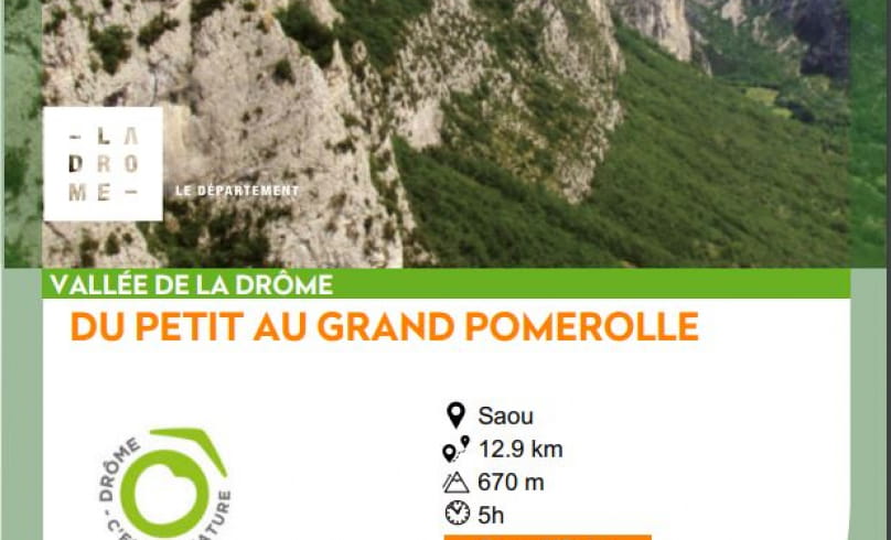
Du Petit au Grand Pomerolle
This loop starts from the Sables Blancs parking lot or from the Silo parking lot, near the Auberge des Dauphins.
The 360°c views from the ridges allow you to see the forest reclaiming cultivated and grazed land, and to enjoy a magnificent panorama of the interior of the syncline and the Roubion valley on the outer slopes.
- AddressParking des Sables Blancs
Route de la Forêt de Saoû
26400 Saoû - Phone04 75 63 10 88
- Emailotvaldedrome@gmail.com
Our tips
- Details about route marking :
Poteaux directionnels avec destinations et kilométrages. - Difficult stretches :
Risque de chute, notamment les jours de vent au niveau de la falaise du Petit Pomerolle. D'autre part, vers le Pas de Berlhe, le sentier devient très étroit et serpente verticalement entre chênes et buis : aidez-vous de vos mains dans certains passages. - Références topographiques :
Topo Guide la Vallée de la Drôme à pied en vente dans les Offices de Tourisme de la Vallée de la Drôme. Fiche randonnée téléchargeable sur le site du Département de la Drôme - Les Bons Plans Sports de Nature - Map references :
Carte IGN 3138 OT
Drôme Tourisme cannot be held responsible for any problems encountered along the route.
Any problems encountered can be outlined here:
Author: Conseil Départemental de la Drôme - Apidae Tourisme
To show the map
0M
0M

