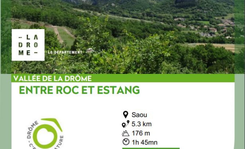
Entre Roc et Estang
From the typical Houme lane (exposed stonework), you'll walk between cliff and river, sometimes in the sun, sometimes in the shade (don't miss the start of the shady path along the Vèbre after the Chantebise gîtes), to the Pas de l'Estang where you'll pass alongside a private natural pond, return through a small wood and a cultivated area overlooking the Roubion valley, and finally the perched hamlet of Saoû with its hillside houses on the Roc.
The "Muret d'Art" trail is part of the "Entre Roc et Estang" hiking circuit. Muret d'Art is an artistic, environmental and international trail.
- AddressCentre du village
26400 Saoû - Phone04 75 63 10 88
- Emailotvaldedrome@gmail.com
Our tips
- Details about route marking :
Poteaux directionnels avec destinations et kilométrages. Balisage traits de peinture jaune - Difficult stretches :
Présence du lac privé du Pas de l'Estang que l'on contourne : ne pas s'approcher des berges. - Références topographiques :
Fiche bons plans à pied - Map references :
Carte IGN 3138 OT
Drôme Tourisme cannot be held responsible for any problems encountered along the route.
Any problems encountered can be outlined here:
Author: Conseil Départemental de la Drôme - Apidae Tourisme

