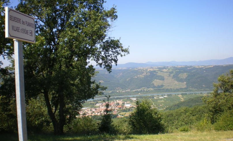
Hiking trail "Les Planards"
Leave opposite the town hall. Leave the village via the Fayolle cellars (good path along the stream).
After 20 minutes, leave the "Randonnée des 3 ruisseaux" loop and turn right. You'll reach the plateau (house, Les Planards school) after 1h15.
On the tarmac, turn left twice, then right at a cross. The path then overhangs a ravine. Return in half an hour with the "Randonnée des 3 ruisseaux" loop, taking a passage through the vineyards, then a few hairpin bends before the hamlet of Les Blancs. Gervans is 5 minutes away.
- AddressRandonnée "Les Planards"
Panneau info rando
Parking devant la mairie
26600 Gervans - Phone04 75 08 10 23
- Emailinfo@ah-tourisme.com
- WebsiteSee the website
Our tips
- Details about route marking :
Yellow markings
Drôme Tourisme cannot be held responsible for any problems encountered along the route.
Any problems encountered can be outlined here:
Author: Conseil Départemental de la Drôme - Apidae Tourisme
To show the map
0M
0M

