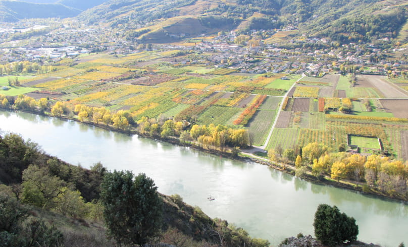
Hiking trail "Pierre-Aiguille"
From the parking lot, take the bridge and the road to the left, past the town hall, towards "l'Epinet-Pierre Aiguille" for a few hundred paces, then turn right onto the forest road overlooking Crozes-Hermitage.
To the right, take the path leading down into a clearing. At the end of the forest, take the path on the left (15 minutes): forests, vineyards and orchards (uncertain paths, stay on the dominant part). To the right, towards the forest, take the well-marked, steep path with wooden steps; beautiful view of Crozes and the Vercors. In 20 minutes, you'll reach the ridge overlooking the Rhône valley. Stay on the ridge until you reach the belvedere, where you'll find a well-marked, steep path (you can visit the nearby promontories - 45 minutes). Descend on a dirt track due south, take the tarmac road at the bend and the crossroads marked "chapelle de l'Hermitage", take a path 100 m to the left through coppice and forest, steeply downhill with wooden steps.
At the bottom of the ravine, the path is wider (vineyards, orchards, tuyas hedge), take the road past the farm and back to the left.
- AddressRandonnée "Pierre-Aiguille"
Panneau info rando
Parking de l'Eglise
26600 Crozes-Hermitage - Phone04 75 08 10 23
- Emailinfo@ah-tourisme.com
- WebsiteSee the website
Drôme Tourisme cannot be held responsible for any problems encountered along the route.
Any problems encountered can be outlined here:
Author: Conseil Départemental de la Drôme - Apidae Tourisme

