PressAs a group
Pedestrian sports - Hiking itinerary

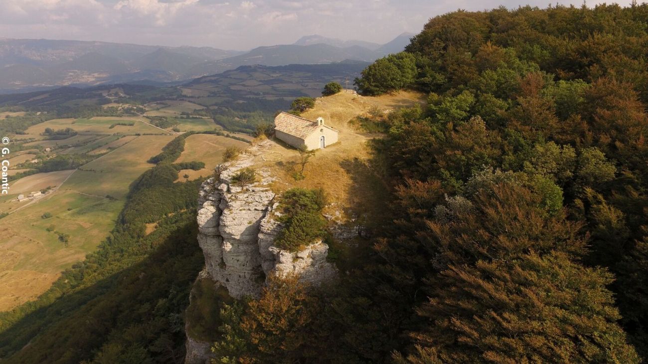
La chapelle de Saint-Maurice

  • Distance13.96 km
  • Duration5h
  • TypeCircular
  • DifficultyDifficult
  • Total altitude change+ 600 m
  • Departure/arrivalDieulefit
  • Route markingYes

Following in the footsteps of the processions of yesteryear, this route will leave you amazed at the superb panoramic views from La Chapelle, while the return journey takes you over a ridge, following the upper layer of the syncline.

Our tips

  • Details about route marking :
    PR (jaune)
  • Références topographiques :
    La ville de Dieulefit a acquis la montagne de St Maurice en 2013, avec le soutien du Conseil Départemental de la Drôme, dans le cadre des Espaces Naturels Sensibles

To see the GPX, download the application

  • Exemple sur Android : Ici
  • Exemple sur IOS : Ici
  • Découvrir GPX Studio : Ici

Drôme Tourisme cannot be held responsible for any problems encountered along the route. 

Any problems encountered can be outlined here:

Suricate


Author: Conseil Départemental de la Drôme - Apidae Tourisme

To show the map
0M
0M
Your travel journal is empty. Add places or events to download here.
Download my travel diary
Empty