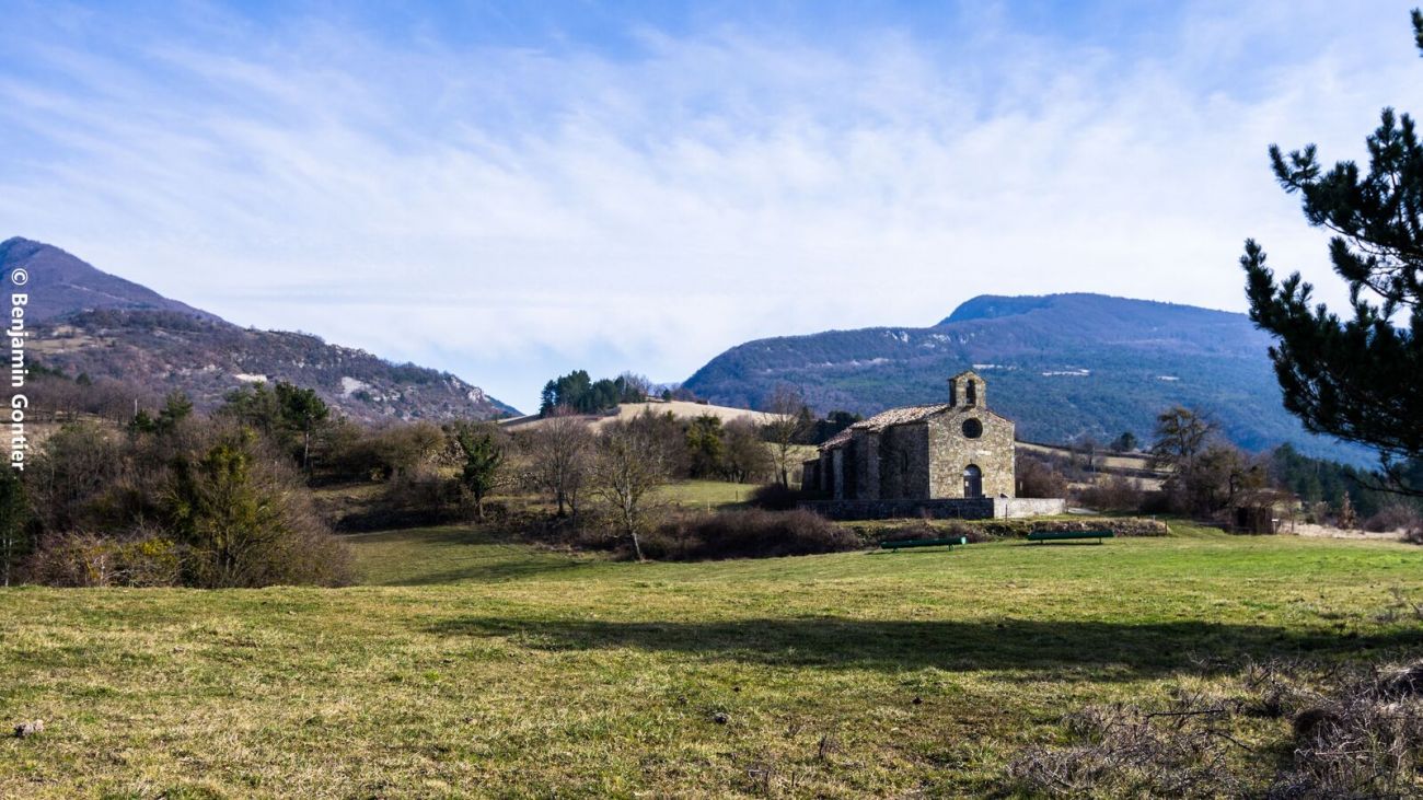
La chapelle Saint-Jean
At the start of the loop, the Soubrion river must be forded (the only authorized crossing). However, if the water level is too low for safe crossing, landowners will allow you to cross on their footbridge. Please respect this exception.
Departure : park at the crossroads of the D70 and D195 (Route des Tonils).
- Address26460 Bourdeaux
- Phone04 75 53 35 90
- Emailvalerie.baudet@dieulefit-tourisme.com
- WebsiteSee the website
Our tips
- Difficult stretches :
IGN 3138 OT Dieulefit
Drôme Tourisme cannot be held responsible for any problems encountered along the route.
Any problems encountered can be outlined here:
Author: Conseil Départemental de la Drôme - Apidae Tourisme
To show the map
0M
0M

