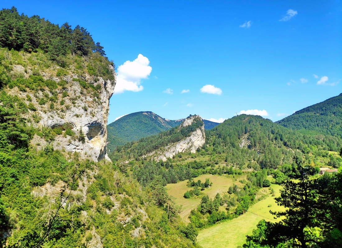
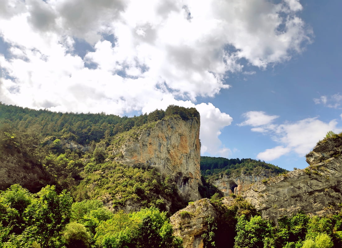
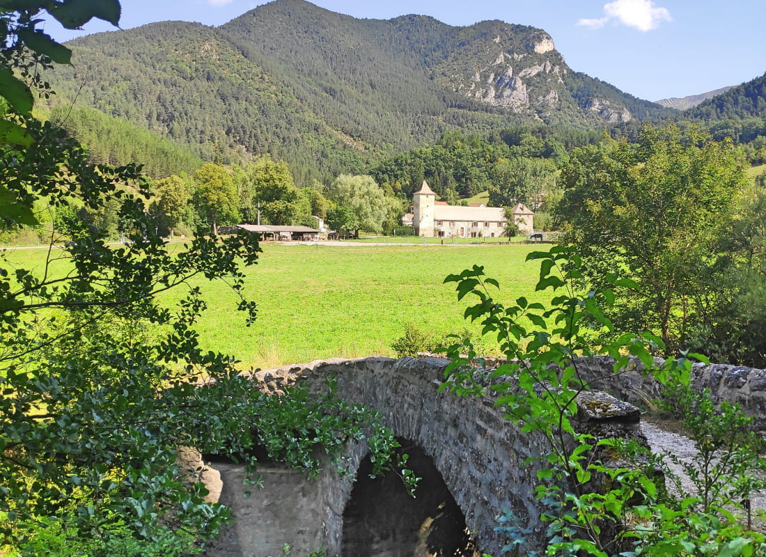
La corniche des Gâts
Ajouter au carnet de voyage
- Distance6 km
- Duration2h30
- TypeCircular
- DifficultyModerate
- Total altitude change+ 400 m
- Departure/arrivalGlandage
- Route markingYes
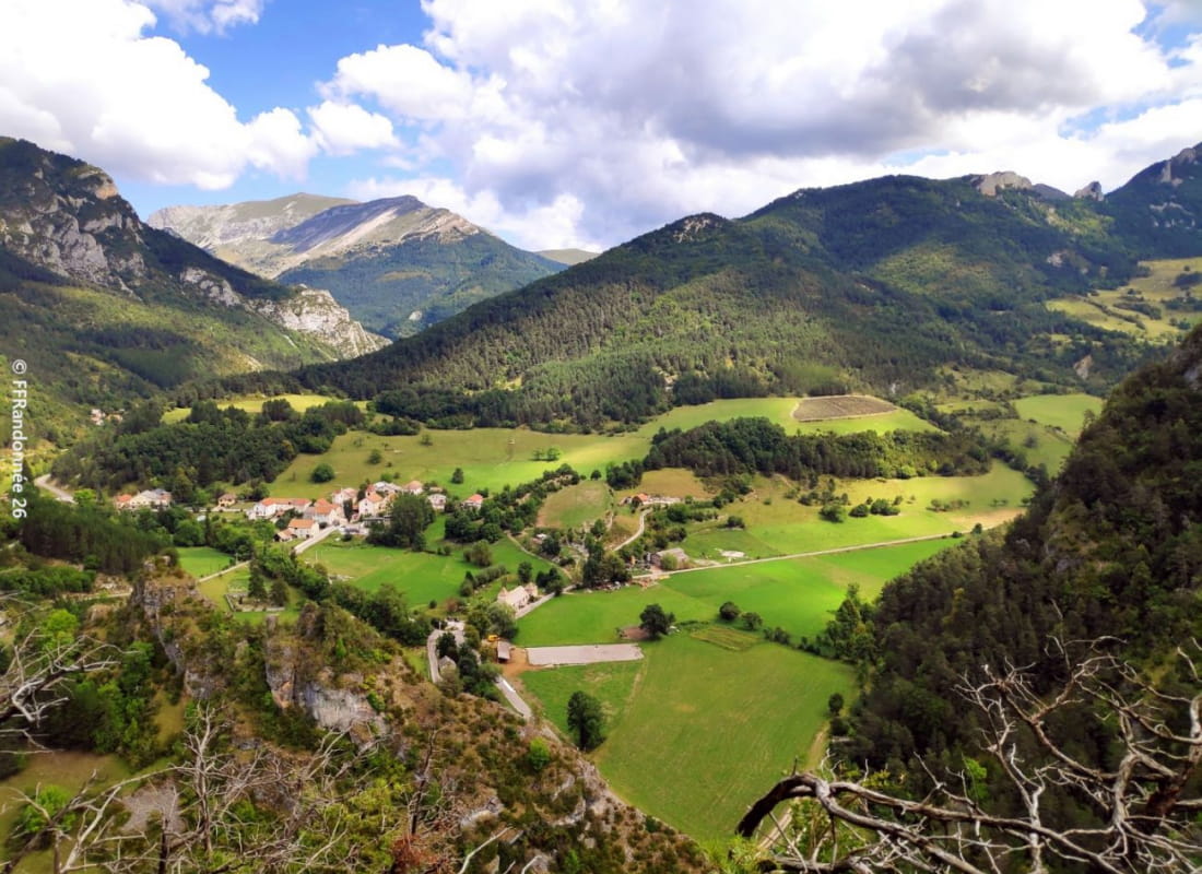
As you emerge from the tunnels of the winding road that cuts its way through the fifty-tone sandstone gorges, light floods into the lost village of Glandage. Here you are, climbing the obscure ubac to emerge into daylight at the top of the f...
- Address26410 Glandage
- Phone04 75 22 03 03
- Emailcontact@diois-tourisme.com
- WebsiteSee the website
Our tips
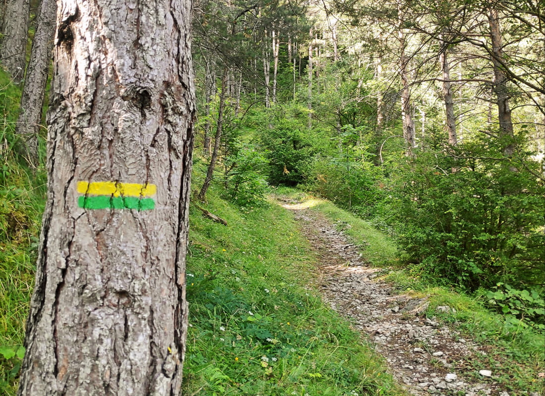
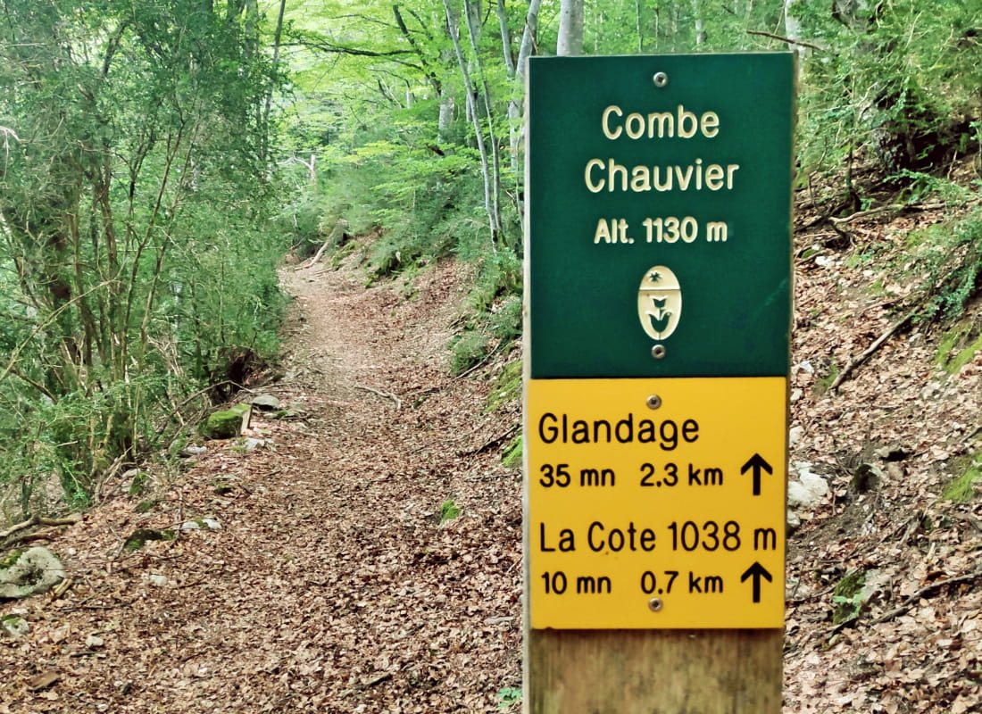
- Details about route marking :
Balisage jaune et vert (PR) et poteaux de signalétique directionnelle - Références topographiques :
Topoguide "Le Diois à pied - Aux sources de la Drôme" de la Fédération Française de Randonnée.
Carte Vercors-Diois du PNR Vercors - Map references :
TOP 25 IGN 3237
Drôme Tourisme cannot be held responsible for any problems encountered along the route.
Any problems encountered can be outlined here:
Author: Conseil Départemental de la Drôme - Apidae Tourisme
To show the map
0M
0M