Ramiat
Ajouter au carnet de voyage
- Distance11,6 km
- Duration4h15
- TypeCircular
- DifficultyDifficult
- Total altitude change+ 630 m
- Departure/arrivalSainte-Croix
- Route markingYes
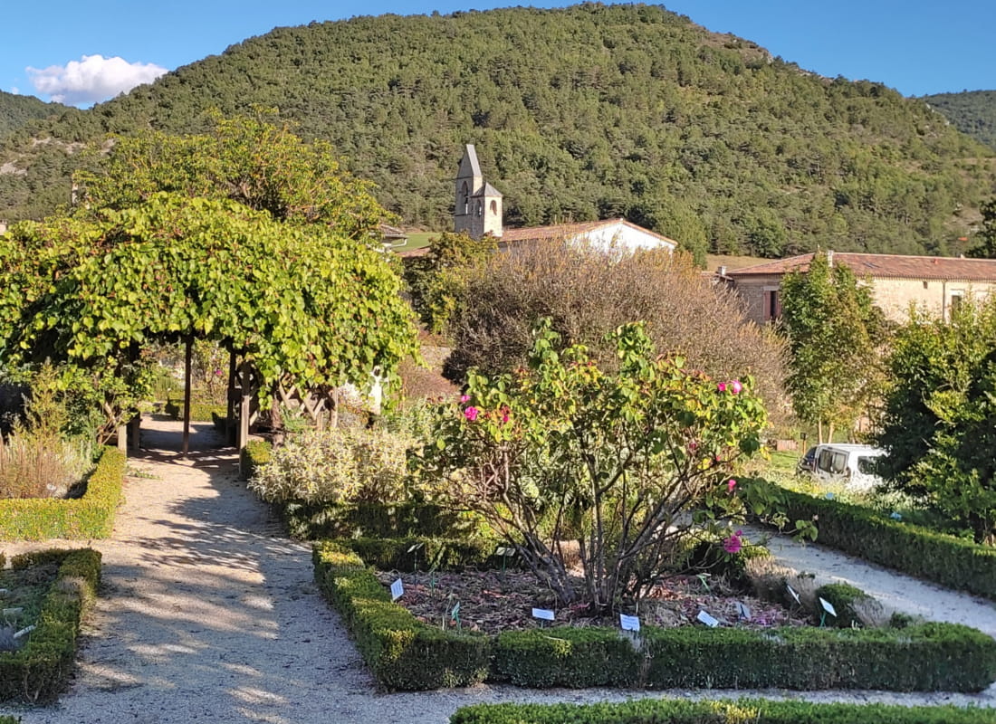
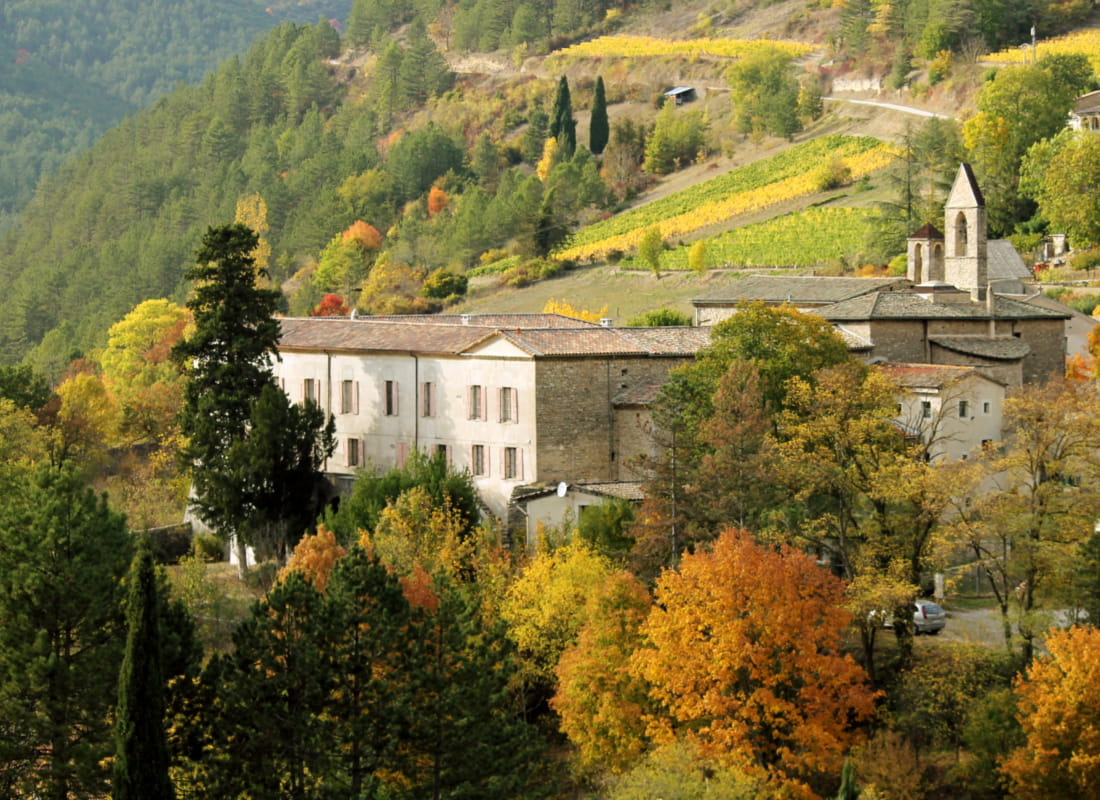
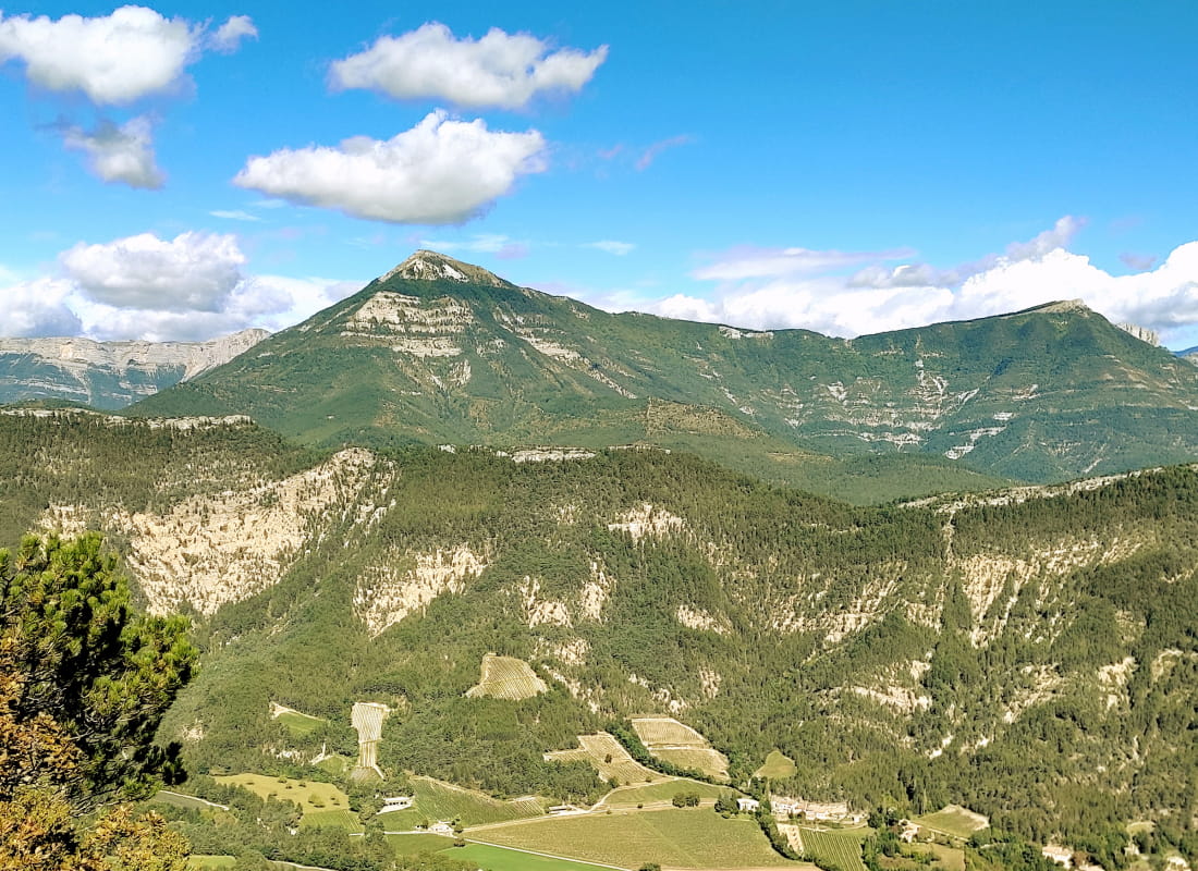
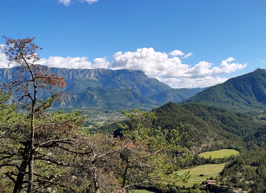
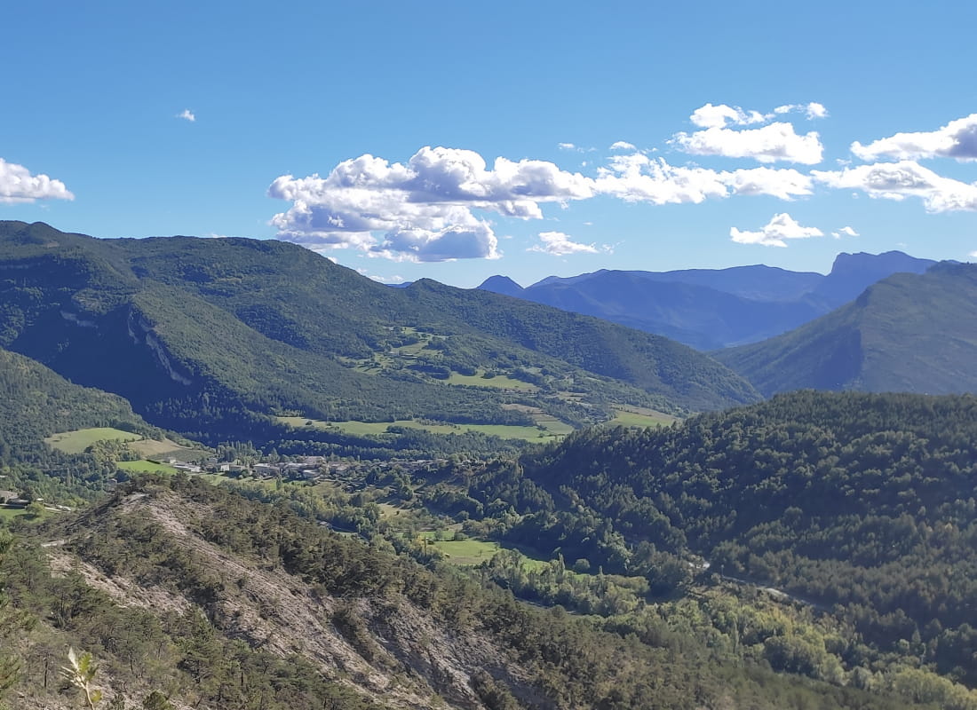
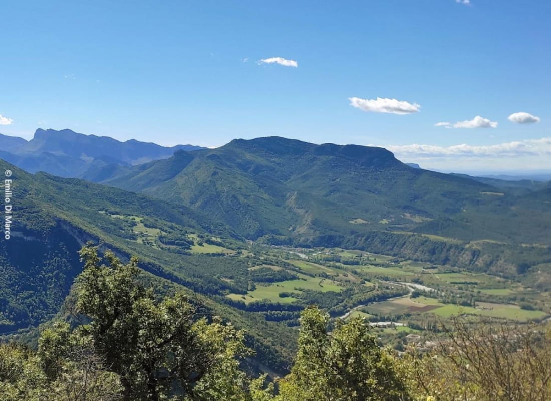
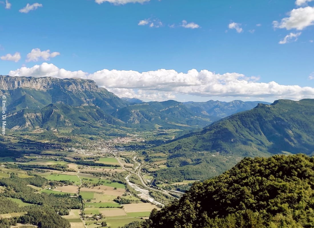
This loop between wide paths on the mountainside and trails in the pine forest leads to postcard-perfect views: on one side, the double steeple of the monastery against a backdrop of the Trois Becs, and on the other, the town of Die nestling at the foot of the Gland...
- Address26150 Sainte-Croix
- Phone04 75 22 03 03
- Emailcontact@diois-tourisme.com
- WebsiteSee the website
Our tips
- Details about route marking :
Balisage jaune et vert (PR) et poteaux de signalétique directionnelle. - Difficult stretches :
Passage en crête. - Références topographiques :
Topoguide "Le Diois à pied - Aux sources de la Drôme" de la Fédération Française de Randonnée.
Carte Vercors-Diois du PNR Vercors - Map references :
TOP 25 IGN 3237
Drôme Tourisme cannot be held responsible for any problems encountered along the route.
Any problems encountered can be outlined here:
Author: Conseil Départemental de la Drôme - Apidae Tourisme
To show the map
0M
0M