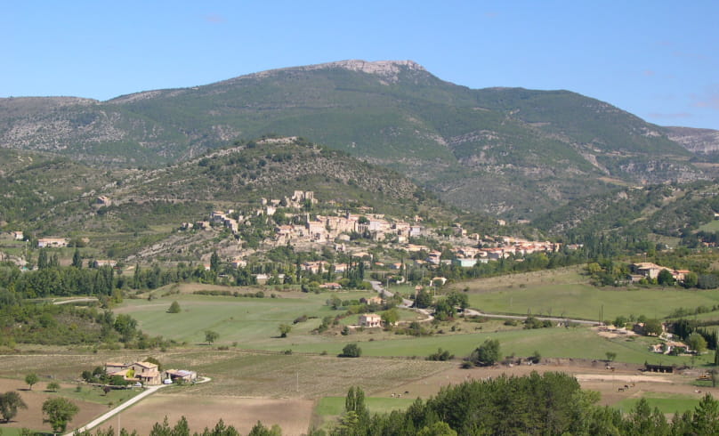
La Fayette
"La Fayette", the name given to the wooded area south of Montbrun, actually comes from "la fayet", a forest made up mainly of fayards (beech trees). Although this tree is not very demanding in terms of soil type, it does have a preference for basic substrates derived from limestone rocks, which are characteristic of the Montbrun-les-Bains area and, more generally, of the Baronnies Provençales.
Beech prefers cooler locations, which is why it's usually found on northern slopes (Ubac).
Start: Montbrun-les-Bains, alt.610 m, parking lot in front of the Mairie.
1. Go down the main road (D 542) towards Reilhanette/Aurel. Leave it at a bend and take the small road on the left. Cross a bridge over the Anary stream to reach the "Le Lauron,
alt.585 m".
2. Follow the small road uphill to the south. Follow it for 1 km until you reach "Serre les fermes, alt.634 m".
3. From here, take the footpath rising to the left before the farm entrance.
4. At the crossroads with the D 189, at "Ubac de Naval, alt.690 m", take the road on the right as it rises for 400 m.
5. At the hairpin bend ("La Fayette, alt.720 m"), leave the road and take the track on the left. Continue straight ahead, and the track becomes a small, winding tarmac road. Stay on the tarmac towards Montbrun.
6. At the intersection with the route des thermes, turn right, then left at the next junction to get back to the starting point.
- Address26570 Montbrun-les-Bains
Drôme Tourisme cannot be held responsible for any problems encountered along the route.
Any problems encountered can be outlined here:
Author: Conseil Départemental de la Drôme - Apidae Tourisme

