La Grésière
Ajouter au carnet de voyage
- Distance10,8 km
- Duration5h
- TypeCircular
- DifficultyVery difficult
- Total altitude change+ 811 m
- Departure/arrivalMenglon
- Route markingYes
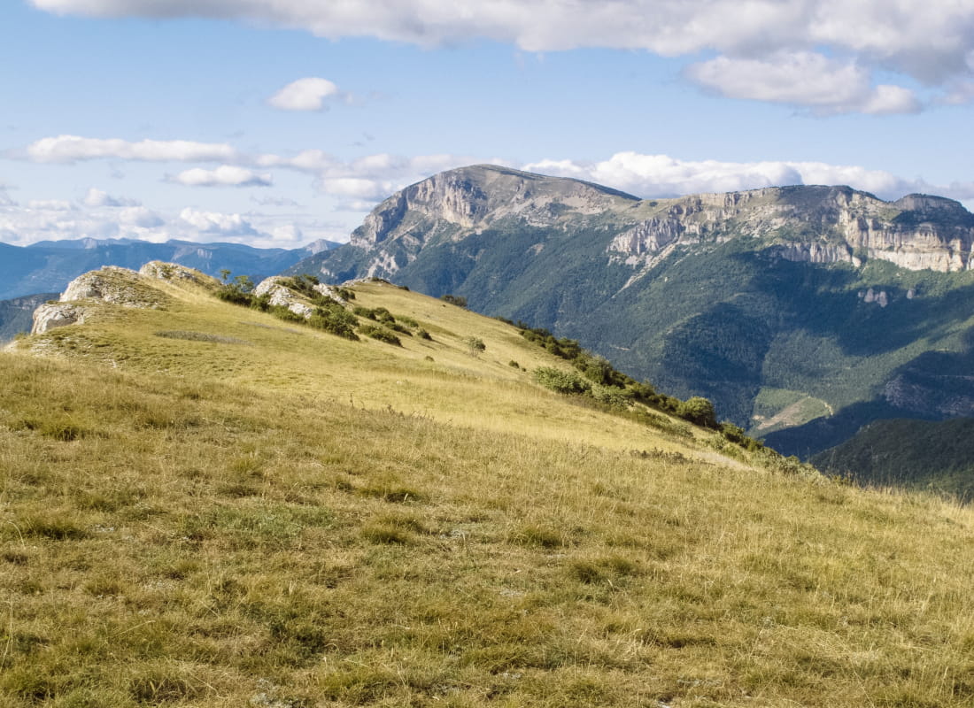
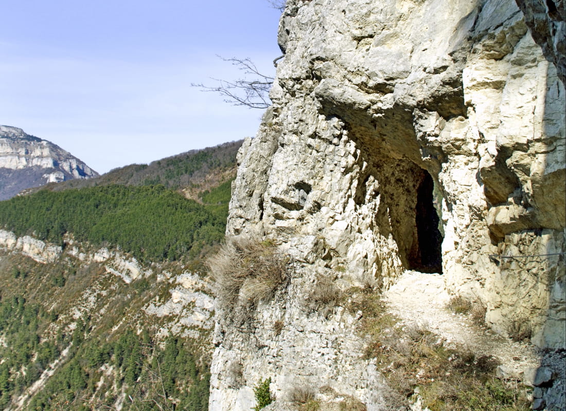
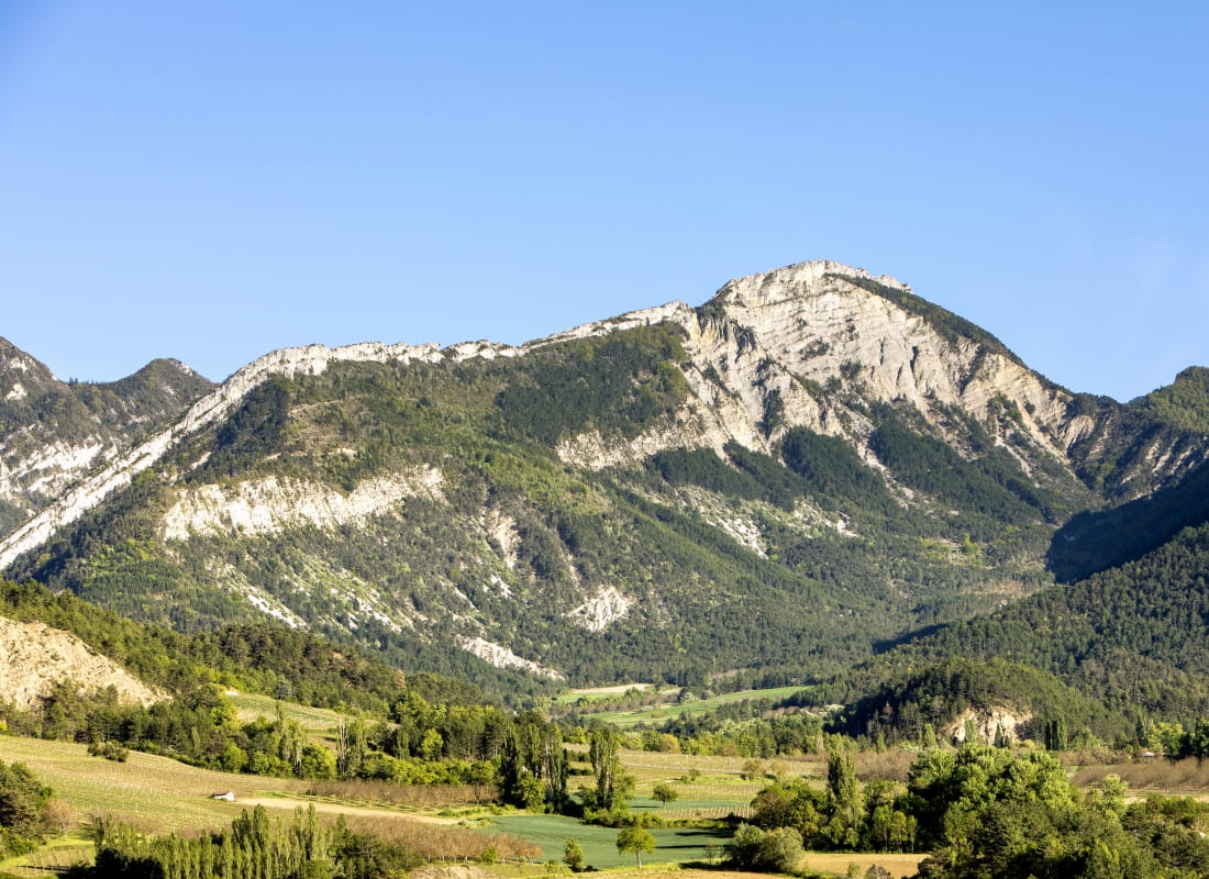
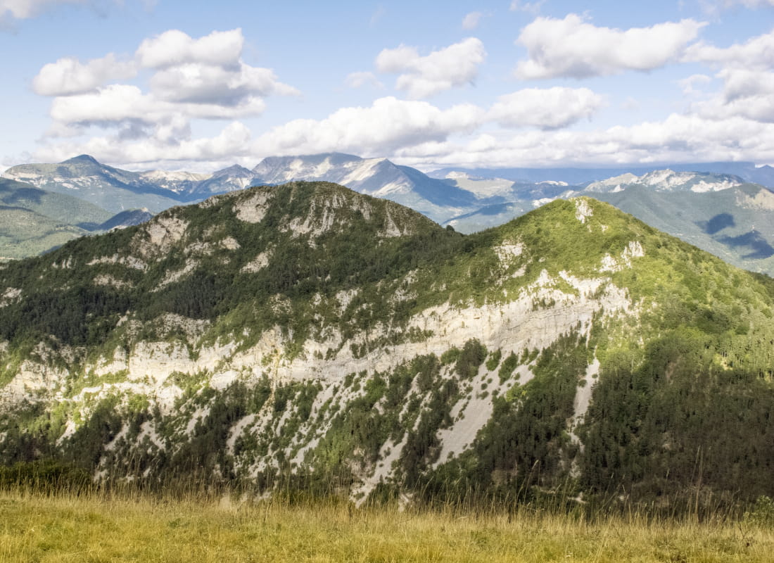
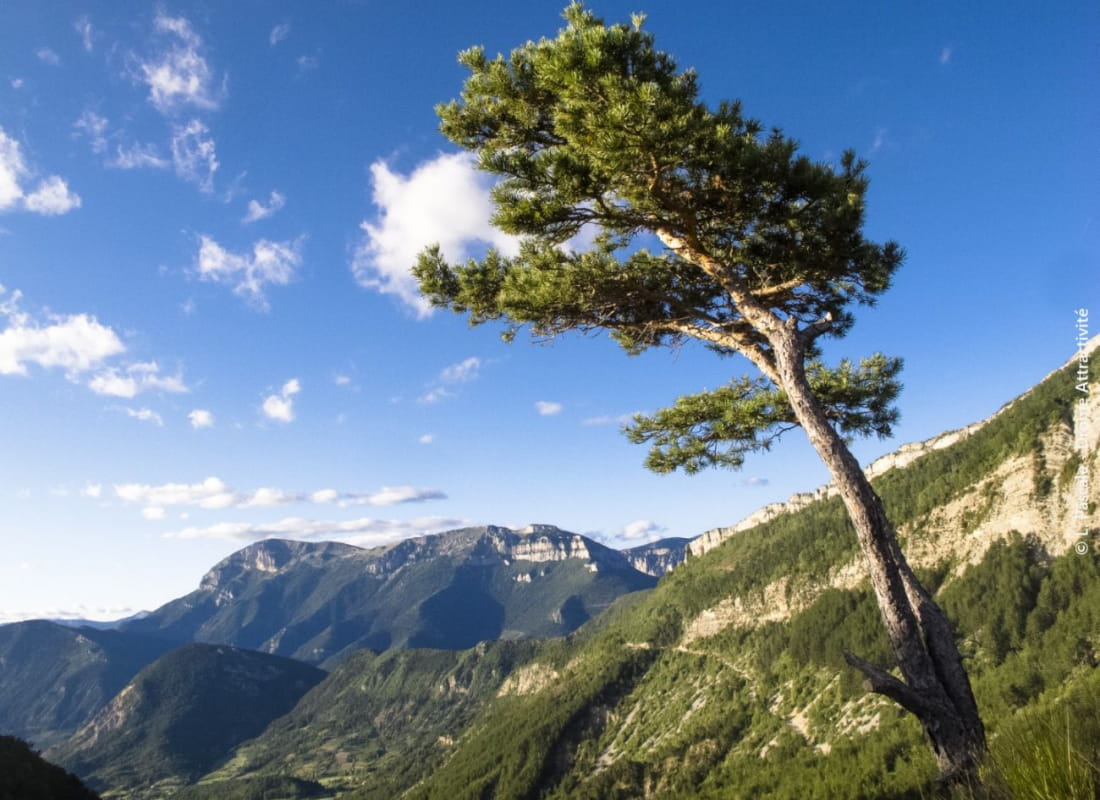
High above the forests, the isolated ribbon of rock at the summit opens up, despite its low altitude, to an incredible 360° panorama between Diois, Vercors and Dévoluy. The descent also holds a surprise in store, with a tunnel carved into the rock and a passage...
- AddressLes Gallands
26410 Menglon - Phone04 75 22 03 03
- Emailcontact@diois-tourisme.com
- WebsiteSee the website
Our tips
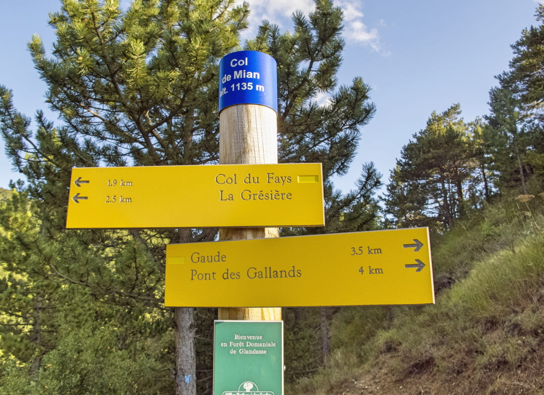
- Details about route marking :
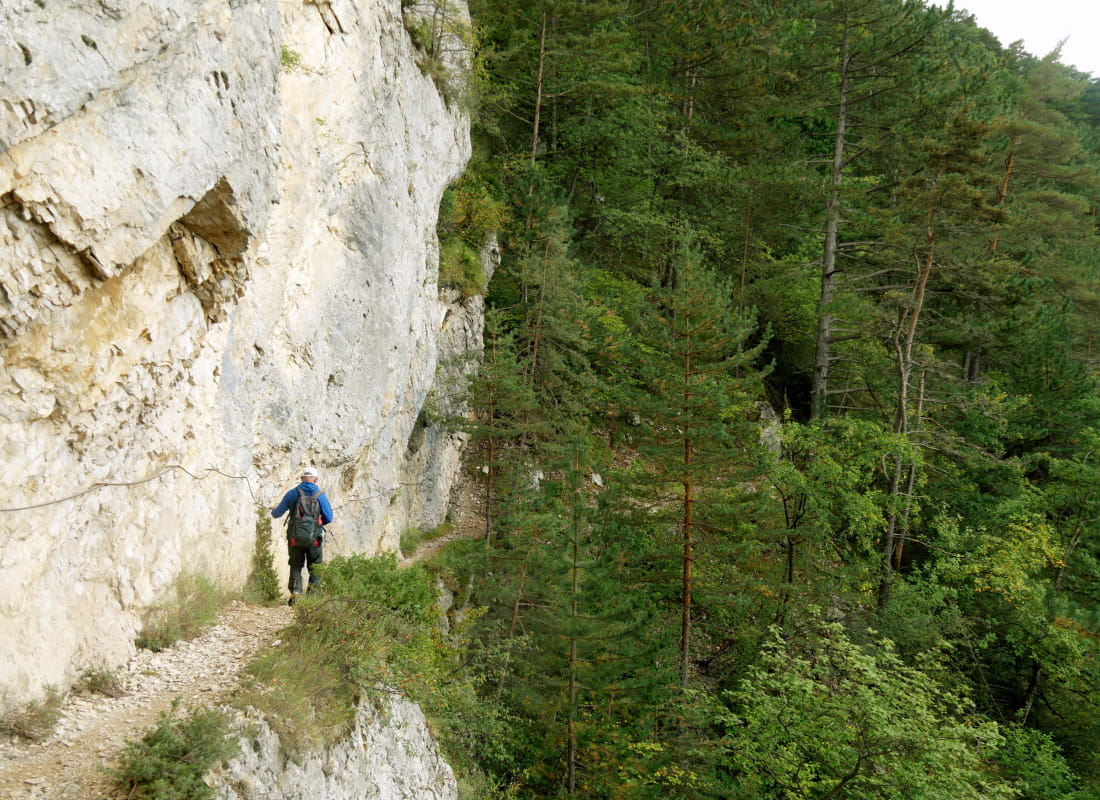
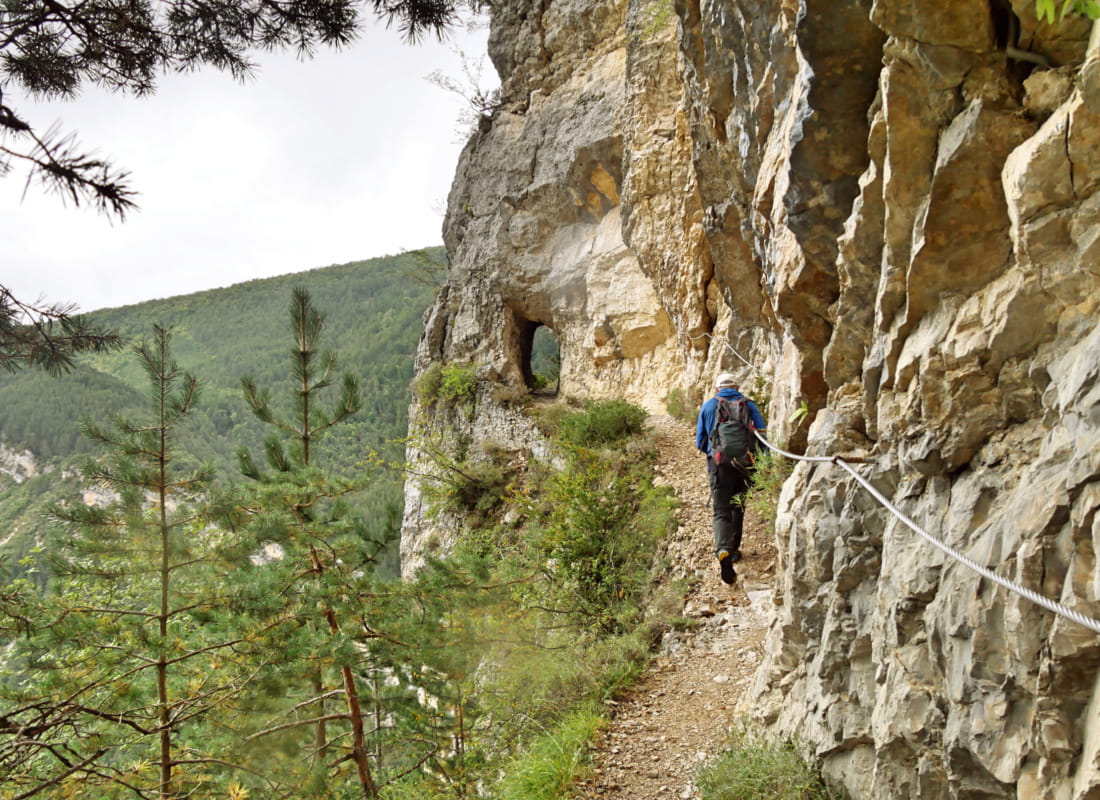
Balisage jaune (PR) et poteaux de signalétique directionnelle. - Difficult stretches :
Pente à 30% et passages techniques pouvant être vertigineux dans la partie sommitale. - Références topographiques :
Topoguide "Le Diois à pied - Aux sources de la Drôme" de la Fédération Française de Randonnée. - Map references :
TOP 25 IGN 3238
Drôme Tourisme cannot be held responsible for any problems encountered along the route.
Any problems encountered can be outlined here:
Author: Conseil Départemental de la Drôme - Apidae Tourisme
To show the map
0M
0M