L'Aupillon
Ajouter au carnet de voyage
- Distance7,7 km
- Duration2h34
- TypeCircular
- DifficultyModerate
- Total altitude change+ 380 m
- Departure/arrivalGlandage
- Route markingYes
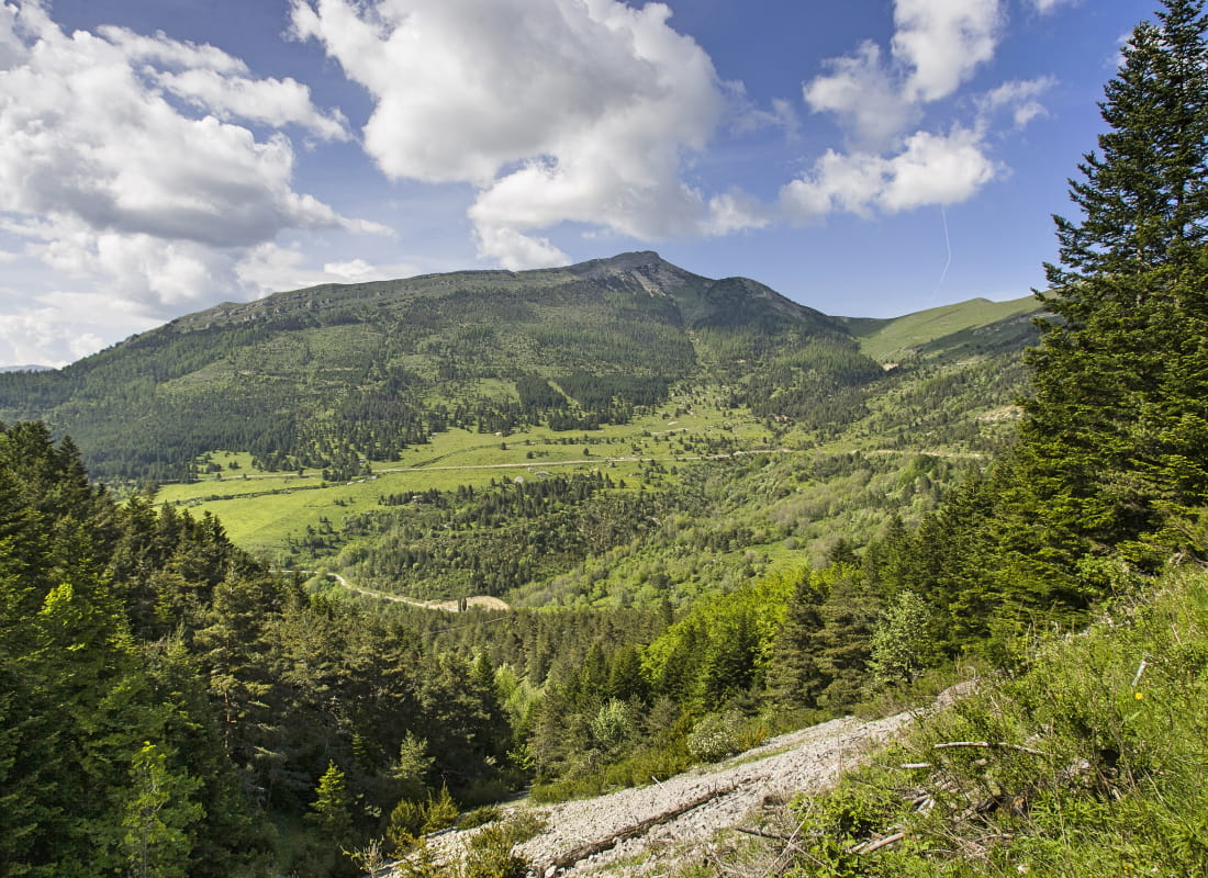
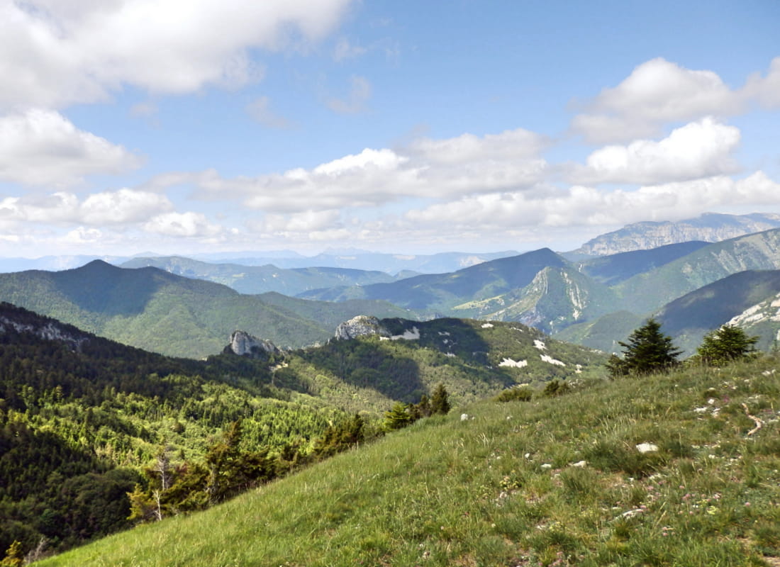
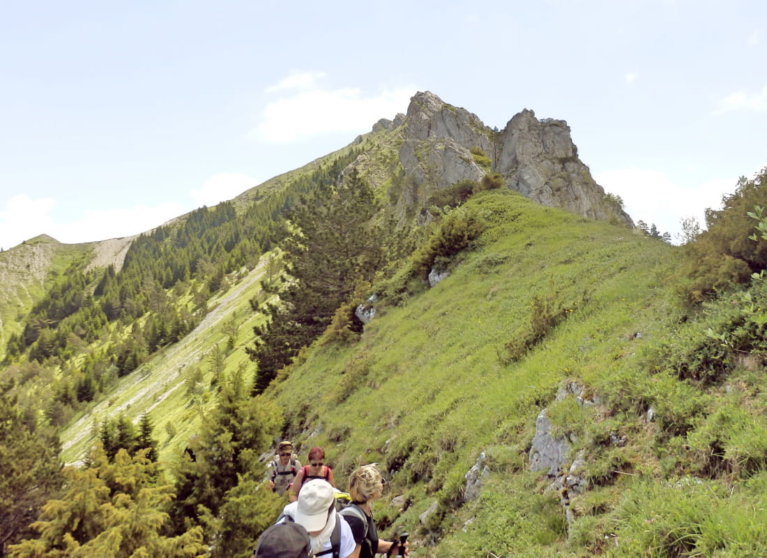
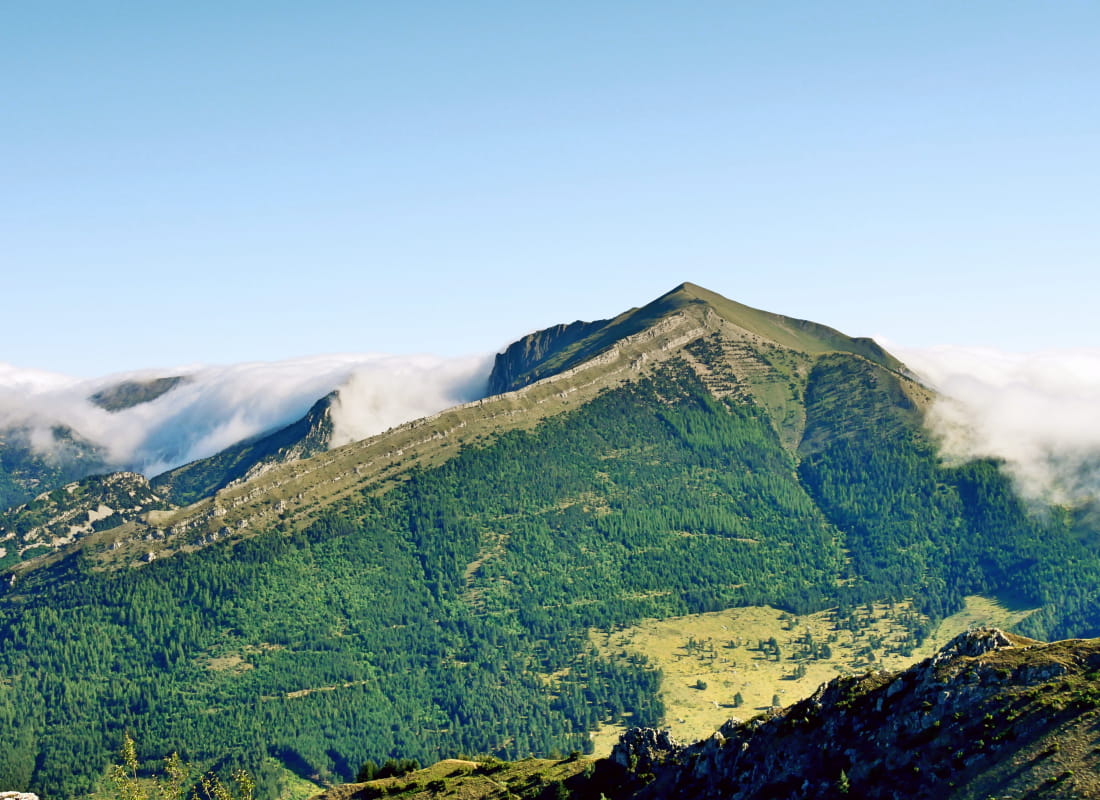
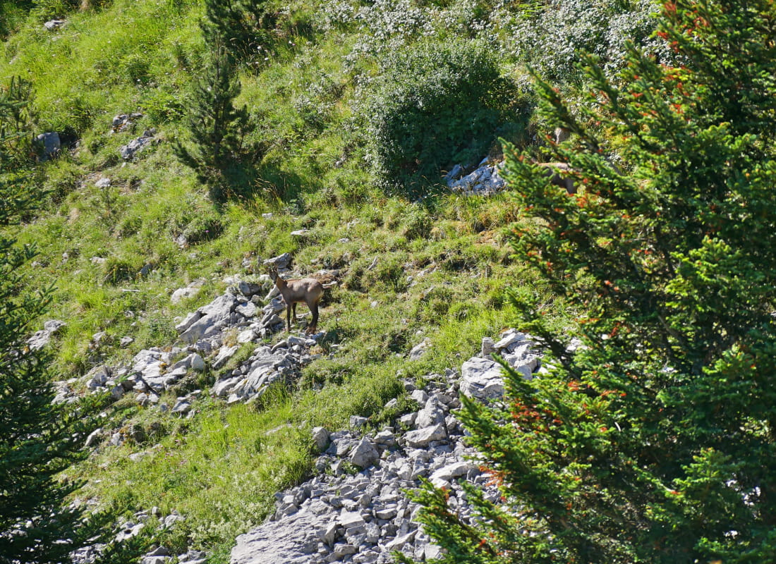
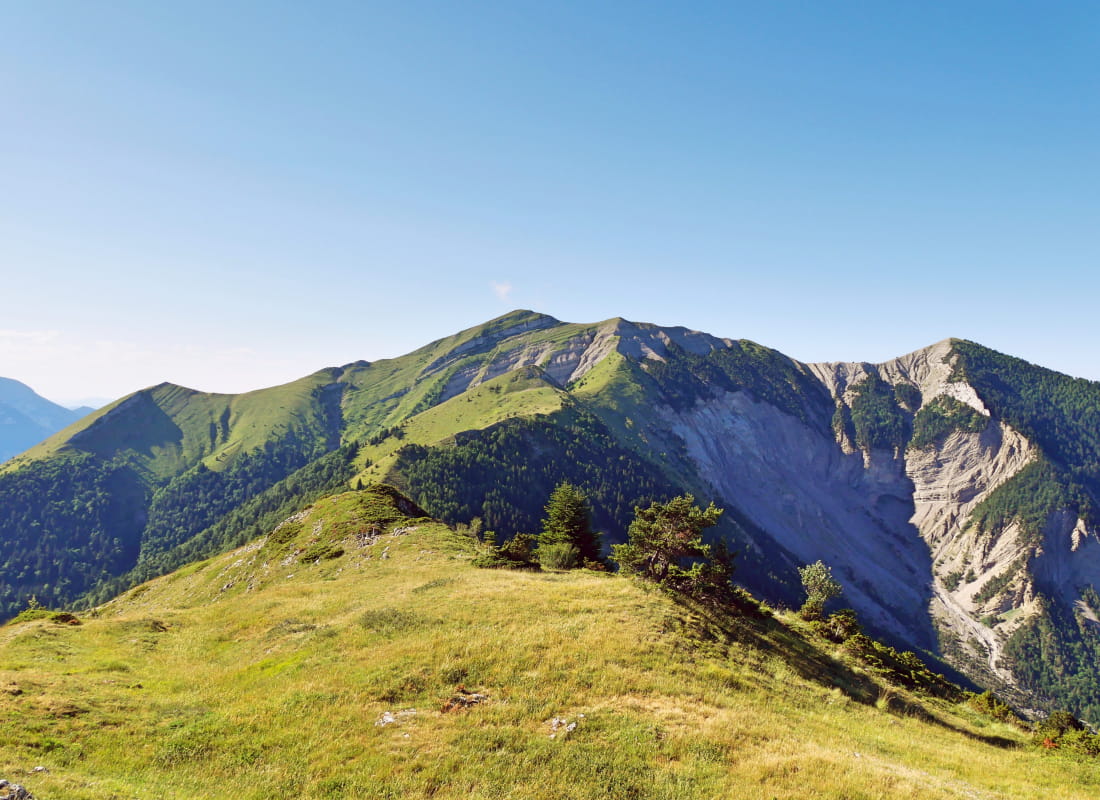
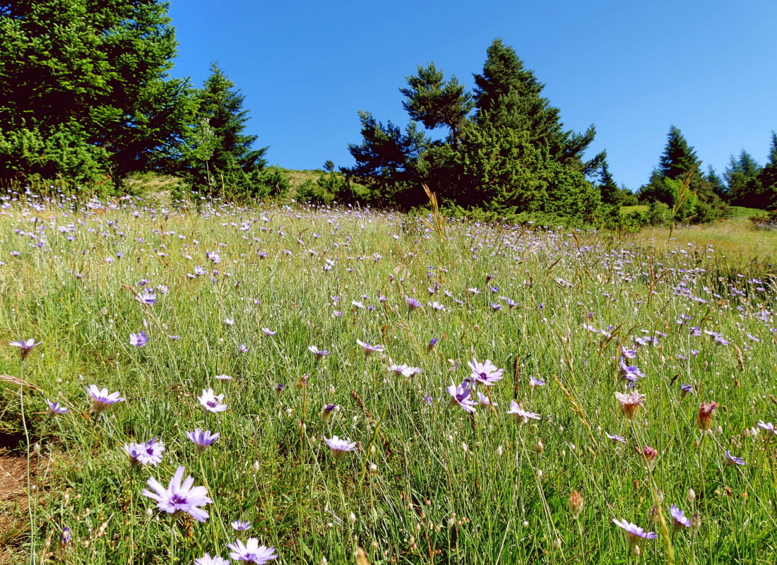
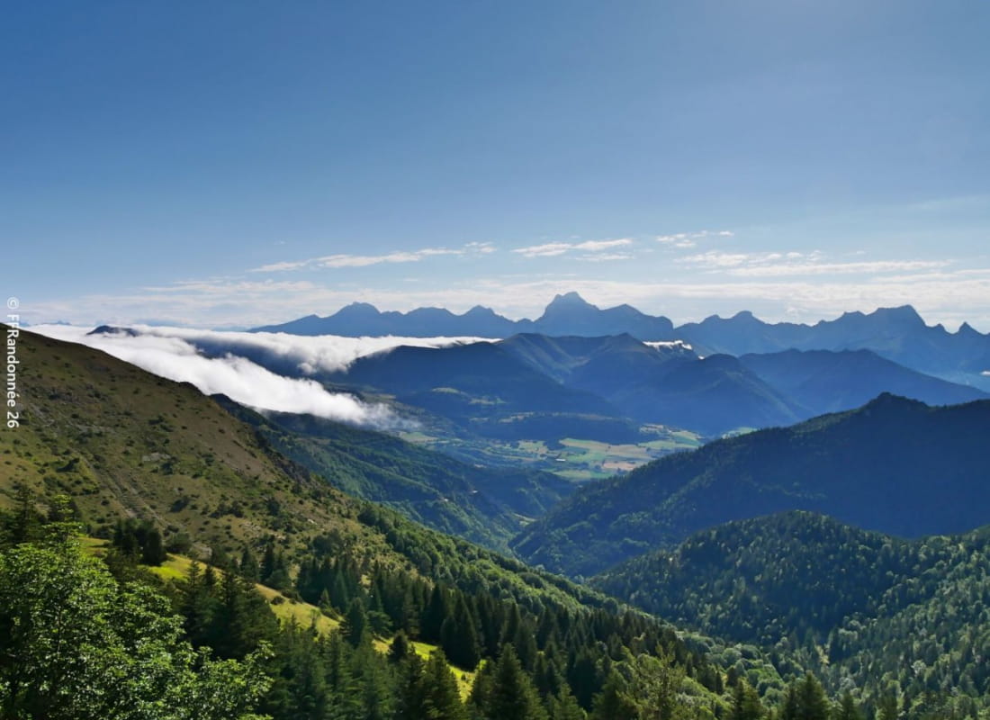
The magic formula for a mountain hike: enchantment from the start at the high-altitude pass, the enchantment of a little trail worthy of the elf forest, the supernatural landscapes of the Vercors and Dévoluy, the Alpilles capped with astonishing rocks, and the tour is over...
- AddressCol de Grimone
26410 Glandage - Phone04 75 22 03 03
- Emailcontact@diois-tourisme.com
- WebsiteSee the website
Our tips
- Details about route marking :
Balisage jaune et vert (PR) et poteaux de signalétique directionnelle. - Difficult stretches :
Deux courts passages de marnes sur le retour. - Références topographiques :
Topoguide "Le Diois à pied - Aux sources de la Drôme" de la Fédération Française de Randonnée. - Map references :
TOP 25 IGN 3237
Drôme Tourisme cannot be held responsible for any problems encountered along the route.
Any problems encountered can be outlined here:
Author: Conseil Départemental de la Drôme - Apidae Tourisme
To show the map
0M
0M