Le col d'Ayaste
Ajouter au carnet de voyage
- Distance9,2 km
- Duration3h
- TypeCircular
- DifficultyDifficult
- Total altitude change+ 530 m
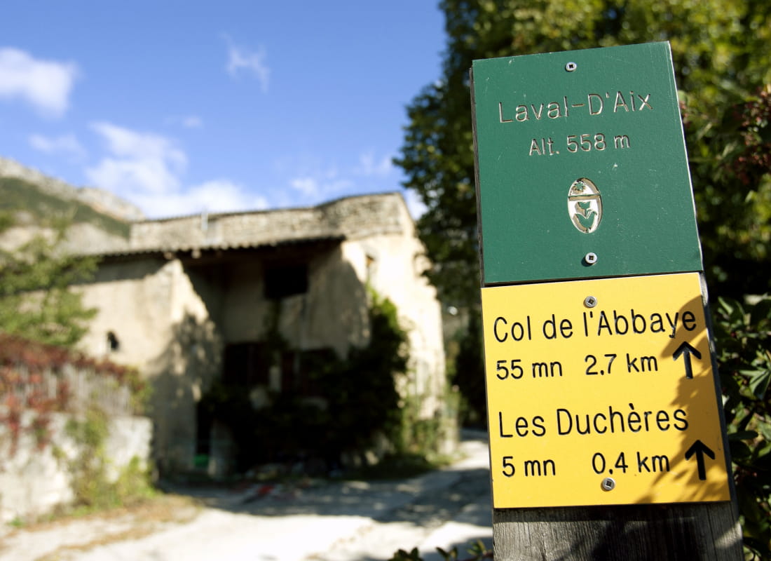
- Departure/arrivalLaval-d'Aix
- Route markingYes
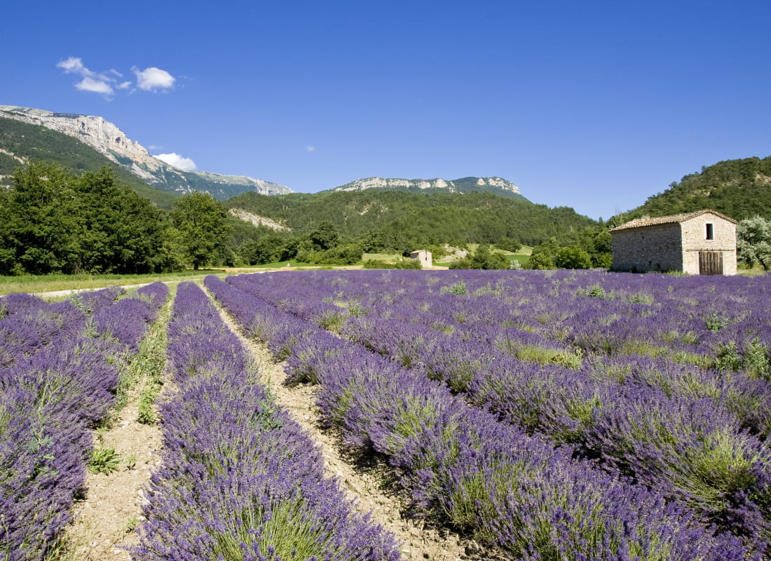
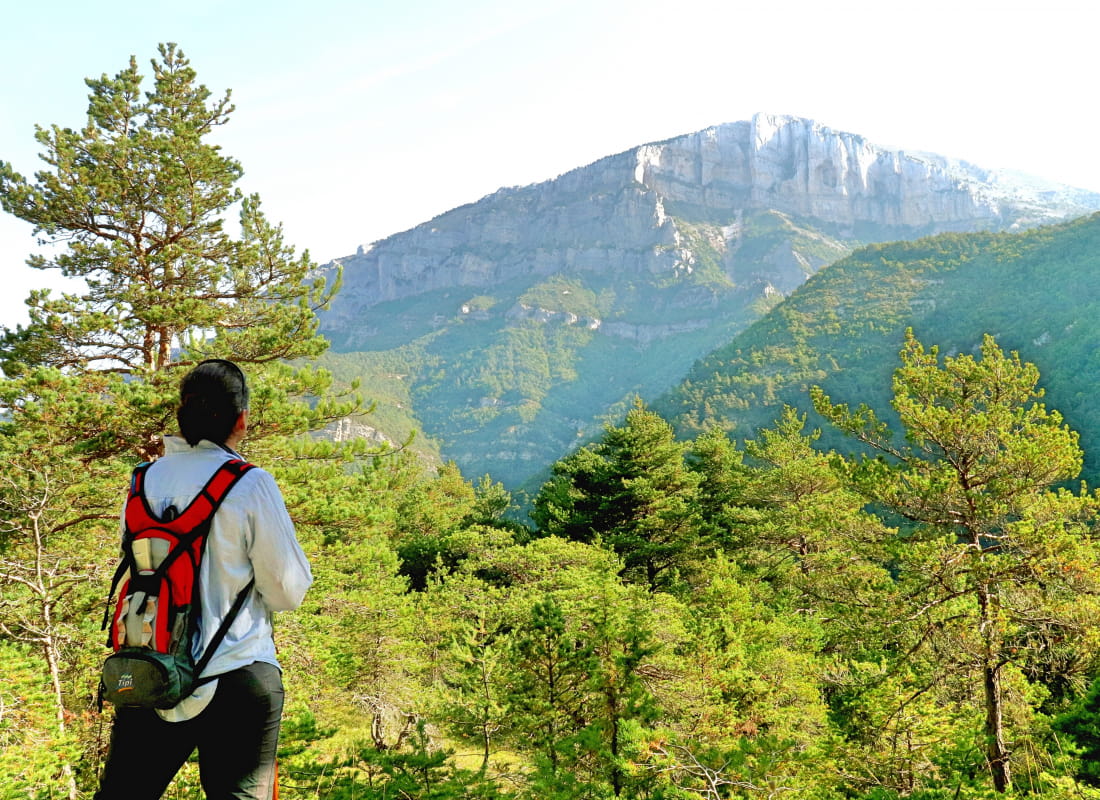
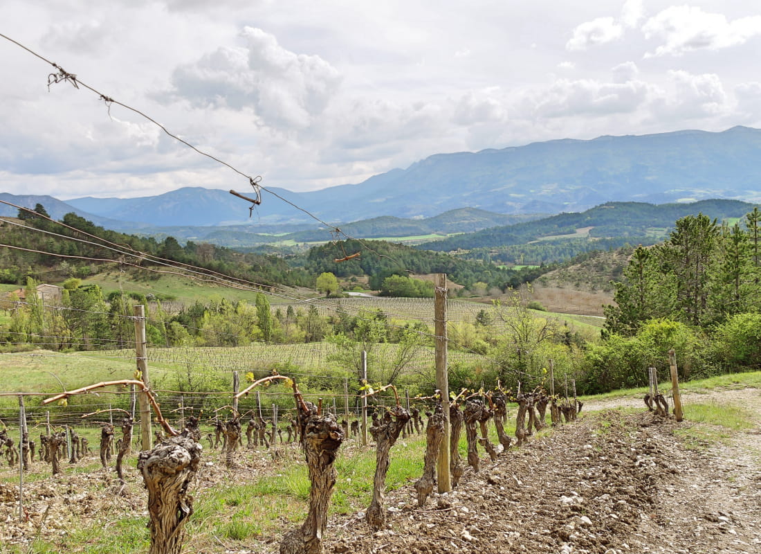
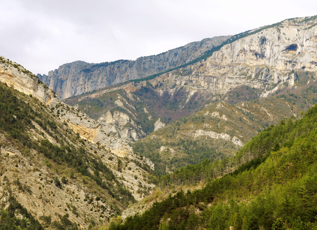
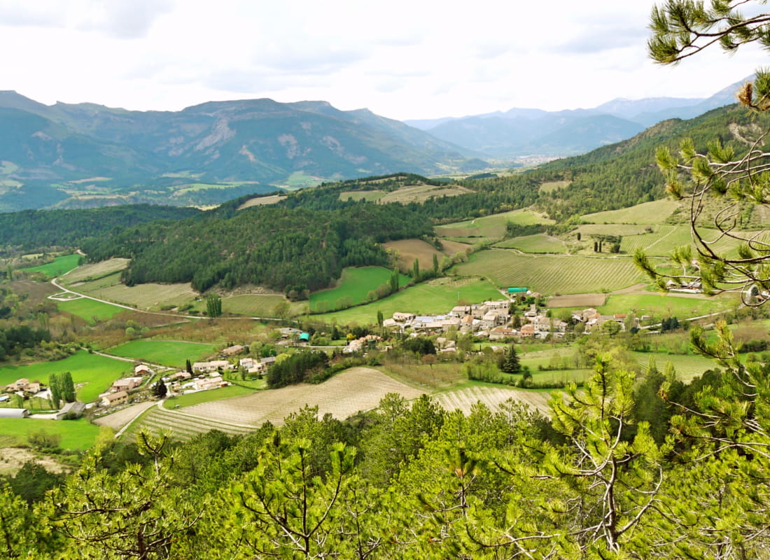
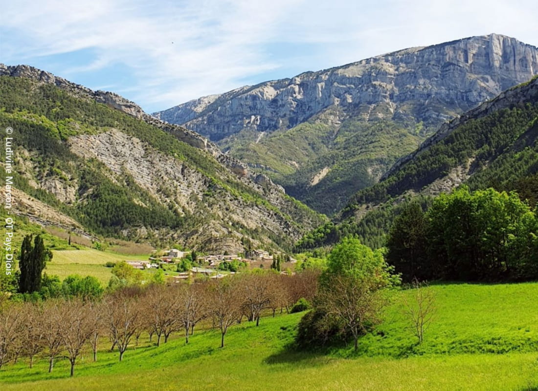
In the foothills of the Vercors, vineyards, lavender, cliffs, marl and black pines are the components of a work shaped by the folds of passes and combes, opening up a perspective on the Drôme valley and the characteristic silhouette of the 3 Becs.
- AddressPlace de la Mairie
26150 Laval-d'Aix - Phone04 75 22 03 03
- Emailcontact@diois-tourisme.com
- WebsiteSee the website
Our tips
- Details about route marking :
Balisage jaune et vert (PR) et poteaux de signalétique directionnelle. - Difficult stretches :
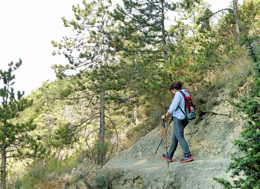
Légère prudence en descente dans les marnes après la cabane. - Références topographiques :
Topoguide "Le Diois à pied - Aux sources de la Drôme" de la Fédération Française de Randonnée.
Carte Vercors-Diois du PNR Vercors - Map references :
TOP 25 IGN 3237
Drôme Tourisme cannot be held responsible for any problems encountered along the route.
Any problems encountered can be outlined here:
Author: Conseil Départemental de la Drôme - Apidae Tourisme
To show the map
0M
0M