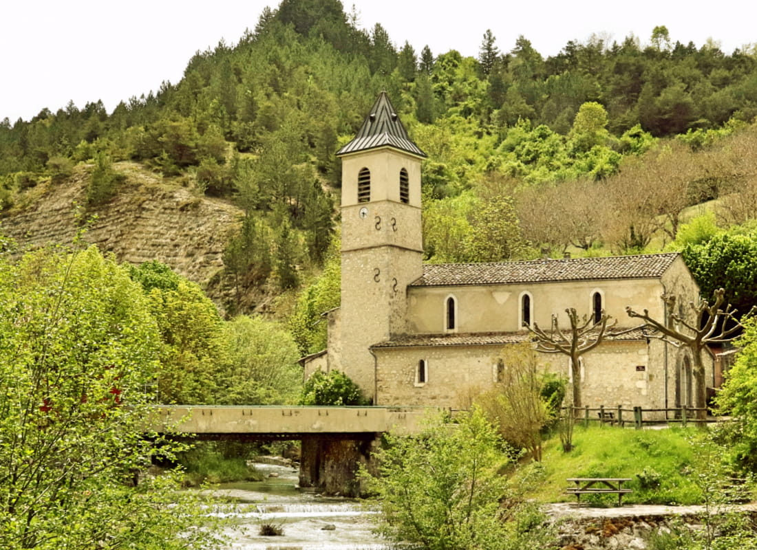
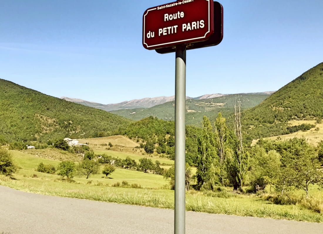
Le col de Lauzat
Ajouter au carnet de voyage
- Distance5,5 km
- Duration2h
- TypeCircular
- DifficultyModerate
- Total altitude change+ 250 m
- Departure/arrivalSaint-Nazaire-le-Désert
- Route markingYes
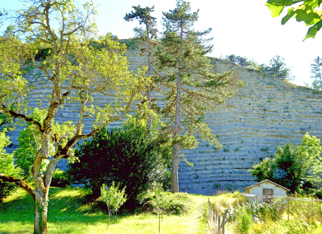
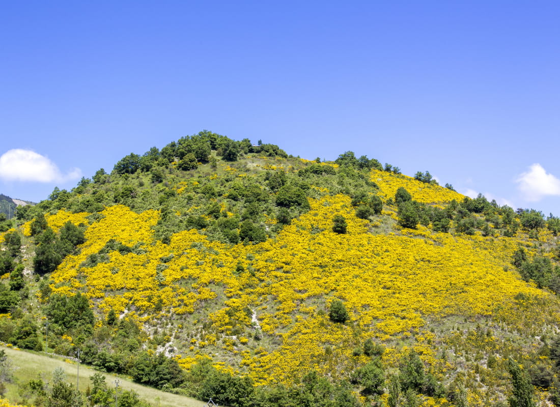
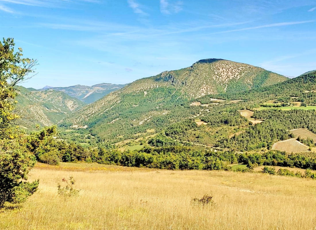
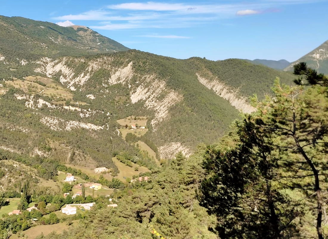
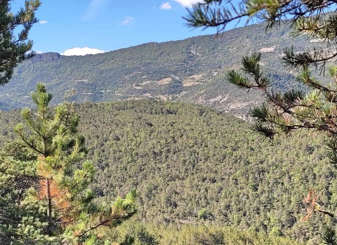
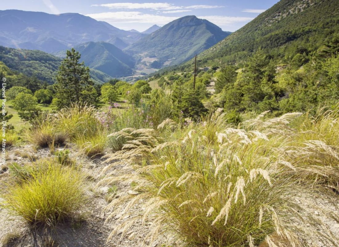
Away from it all, come and tread the Désert during this family hike through marl, lavender and broom. It crosses the valley of the Ruisseau de la Lance, which makes Saint-Nazaire our little Venice, to open out onto valleys just as wild...
- AddressPlace du Chenevier
26340 Saint-Nazaire-le-Désert - Phone04 75 22 03 03
- Emailcontact@diois-tourisme.com
- WebsiteSee the website
Our tips
- Details about route marking :
Balisage jaune (PR) et poteaux de signalétique directionnelle. - Références topographiques :
Topoguide "Le Diois à pied - Aux sources de la Drôme" de la Fédération Française de Randonnée. - Map references :
TOP 25 IGN 3138
Drôme Tourisme cannot be held responsible for any problems encountered along the route.
Any problems encountered can be outlined here:
Author: Conseil Départemental de la Drôme - Apidae Tourisme
To show the map
0M
0M