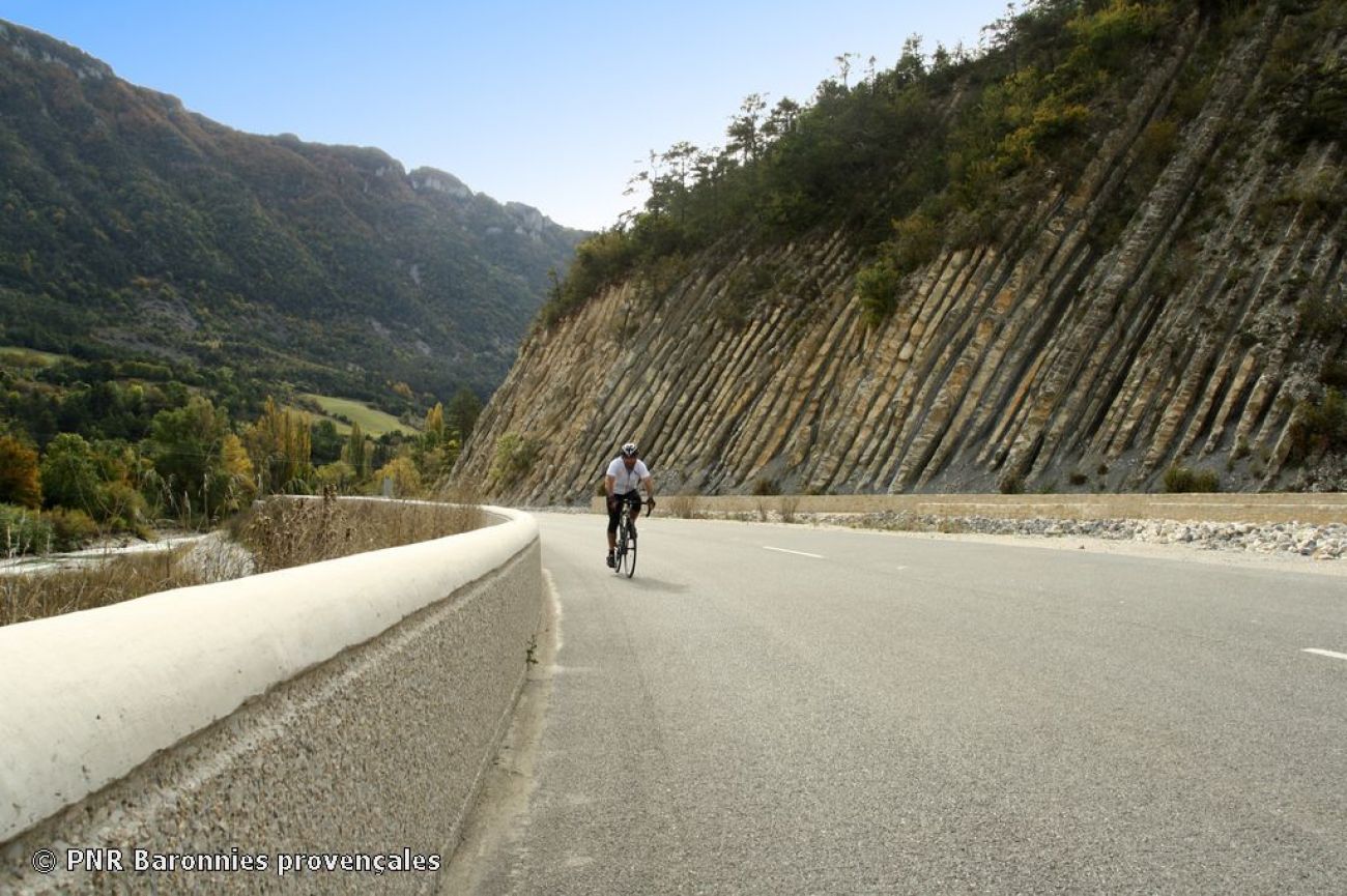
Le col des Tourettes
But the route begins gently, gradually climbing up to the village of La Motte-Chalancon, before taking you onto the magnificent walnut tree-lined road of the upper Oule valley. You'll then rub your calves at the Col des Tourettes, under the watchful eye of the Laup mountain which, at your back, raises its imposing silhouette with its 1,750 m high summit: the Duffre. Switching to the other side of the valley, you'll quickly fi lter over the Col de la Saulce (878 m alt.) and Col de Palluel (801 m alt.) to reach the small village of Saint-André-de-Rosans and the remarkable remains of its 11th-century priory.
century priory. You'll then complete your loop by crossing the Rosannais basin on back roads to Verclause, the eastern gateway to the Eiffel gorges.
of the Eygues gorges. Ideal season: April - May.
- AddressPlace du Champ de Mars
26510 Rémuzat
Our tips
- Références topographiques :
Fiche n°104
Drôme Tourisme cannot be held responsible for any problems encountered along the route.
Any problems encountered can be outlined here:
Author: Conseil Départemental de la Drôme - Apidae Tourisme

