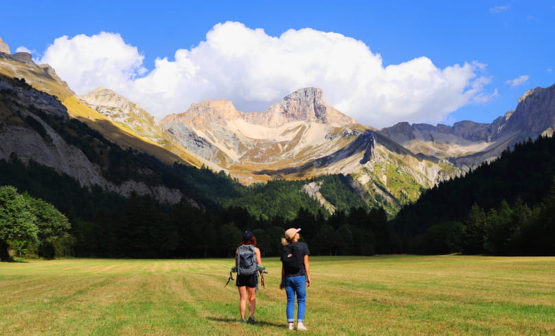
Le lac du Lauzon
> The site can be very busy at weekends and on public holidays. Choose the right day and/or time for your comfort and that of your host site.
- AddressParking du fond du vallon de la Jarjatte
26620 Lus-la-Croix-Haute - Phone04 75 22 03 03
- Emailcontact@diois-tourisme.com
- WebsiteSee the website
Our tips
- Details about route marking :
Balisage jaune et vert (PR) et blanc et rouge (GR) avec poteaux de signalétique directionnelle. - Difficult stretches :
Forte pente à la montée comme à la descente en terrain minéral. - Références topographiques :
Topoguide "Le Diois à pied - Aux sources de la Drôme" de la Fédération Française de Randonnée.
Carte Vercors-Diois du PNR Vercors. - Map references :
TOP 25 IGN 3337
Drôme Tourisme cannot be held responsible for any problems encountered along the route.
Any problems encountered can be outlined here:
Author: Conseil Départemental de la Drôme - Apidae Tourisme
To show the map
0M
0M

