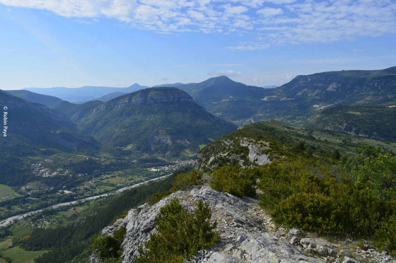
Le rocher du Caire
Reintroduced in 1996 by the "Vautours en Baronnies" association based in Rémuzat, the griffon vulture is the most present in the area, with over 200 pairs. With the recent reintroduction of the black vulture and the bearded vulture, and the spontaneous arrival of the Egyptian vulture, the Baronnies and the Prealps as a whole are one of the world's benchmarks for large birds of prey.
large birds of prey.
The route must be taken in the direction indicated on the map (on the way up), any descent via the path known as "des échelles" is prohibited by municipal by-law N°8/2014 (Saint-May) of July 1, 2014 .
Departure point: On the village square, in front of the Tourist Office and the Maison des Vautours.
1. On the village square, in front of the bus shelter, follow the signs for "Rocher du Caire" at the "Rémuzat - Champ de Mars alt. 448 m" signpost. Cross the
then cross the white bridge over the Oule river
to change banks.
2. Turn left after the bridge at the "Pont Blanc alt. 448 m" sign. Follow the track which becomes a small path through undergrowth and marl.
Be careful, the ground is slippery. Walk along this path with the Eygues river on your left. Alternating undergrowth and open areas.
3. The path soon forks right to the north and becomes narrow and steep. Continue, paying close attention to the markings, mostly on the ground.
4. Cross an orange ladder that leads over the cliff. Pass through a natural vault before joining two passages with handrails that lead to a corridor of natural steps (large stone slabs). Follow the yellow markings and cairns. Beware of falling rocks. After 300 m of ascent, turn left at the wooden
(to the west) before continuing on the path, which turns right again to the east before emerging onto the plateau.
5. Continue along the cliffside path through stones and boxwood to the Rocher du Caire cross, an ideal spot for observing vultures and views over the valley.
6. Continue and take the ridge path stretching northwards. Stay on the ridges as they gradually rise to the highest point, Le Devès (1048 m), before reaching the pass via the path that bends to the left. Leave the track which descends to the left at the signpost "Champ du Col alt. 965 m" and go straight on for 50 m to the signpost
post "Col de Saint May alt. 975 m".
7. Take the first path on the right towards "Ravine du Col", which descends into the woods and marl, running parallel to the ravine. Further down, at the "Ravine du Col alt. 800 m" post, reach a wider path where the yellow and red GRP trail passes. Follow the track to the right towards Rémuzat.
8. Stay on the main track. Follow the track, which sometimes becomes a footpath, passing a quarry and then cutting across fields. As you descend onto the road, turn right towards Rémuzat. Respect private property and plantations, and stay on marked paths. Follow the GRP (yellow and red) and PR signs. The trail climbs slightly, passing a hunting lodge, before descending to Rémuzat. Pass the bouldering site.
9. Reach the parking lot just before the white bridge at the start. Turn right onto the road, cross the bridge and join the village square.
- AddressPlace du Champ de Mars
26510 Rémuzat
Our tips
- Références topographiques :
Fiche disponible dans les offices de tourisme
Drôme Tourisme cannot be held responsible for any problems encountered along the route.
Any problems encountered can be outlined here:
Author: Conseil Départemental de la Drôme - Apidae Tourisme

