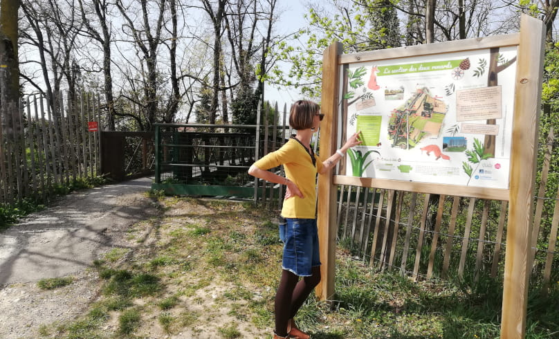
Le sentier des deux Renards
Accessible from Valence by public transport.
How to get there:
- Take Citéa line 20 from Pôle Bus Valence (direction Malissard / Montélier).
- Get off at the "La Gaieté" stop in Chabeuil
- Continue on foot along Avenue de Valence towards the village, for about 140m, to cross the Véore by the pedestrian bridge on your right (after the restaurant Ici et Là).
- After the footbridge, turn right into Allée des Lilas
- At the end of the Allée, turn right at the roundabout and take the 2nd exit, rue Mûriers
- Follow rue Mûriers to the next roundabout, then take the 1st right, rue des Campanules
- Take the small road opposite to pass under the main road via the underpass
- Continue straight ahead to the next pedestrian bridge, with the large Sentier des Deux Renards sign, the start of the walk.
To reach the start of the trail from the bus stop, allow a further 30 minutes round-trip on foot.
- AddressParking de départ derrière la station d'épuration
26120 Chabeuil - WebsiteSee the website
Drôme Tourisme cannot be held responsible for any problems encountered along the route.
Any problems encountered can be outlined here:
Author: Conseil Départemental de la Drôme - Apidae Tourisme

