Le sentier des mines
Ajouter au carnet de voyage
- Distance3.41 km
- Duration1h15
- TypeCircular
- DifficultyVery easy
- Total altitude change+ 40 m
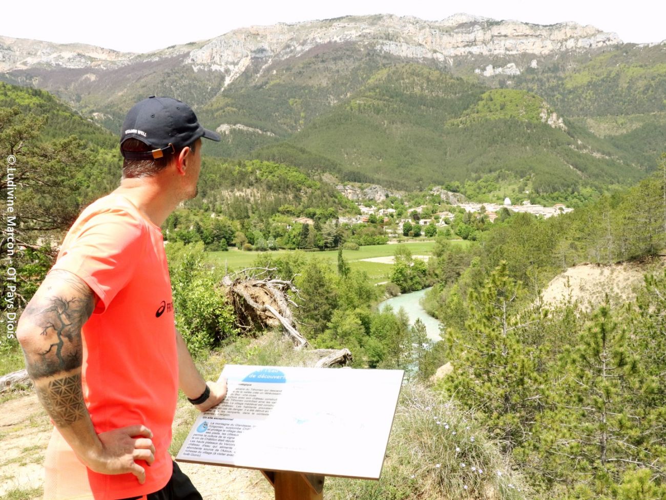
- Departure/arrivalChâtillon-en-Diois
- Route markingYes
As a family, you'll discover the patient work of water that has shaped the Vercors and Diois regions, as you leisurely walk along the banks of the Bez, once used by exhausted miners to reach the harmonious village of Châtillon-en-Diois.
- AddressParking des Chaussières
26410 Châtillon-en-Diois - Phone04 75 22 03 03
- Emailcontact@diois-tourisme.com
- WebsiteSee the website
Our tips
- Details about route marking :
Balisage jaune et vert (PR), blanc et rouge (GR) et signalétique du sentier découverte "la roche et l'eau" avec poteaux de signalétique directionnelle. - Références topographiques :
Topoguide "Le Diois à pied - Aux sources de la Drôme" de la Fédération Française de Randonnée. - Map references :
TOP 25 IGN 3237
Drôme Tourisme cannot be held responsible for any problems encountered along the route.
Any problems encountered can be outlined here:
Author: Conseil Départemental de la Drôme - Apidae Tourisme
To show the map
0M
0M