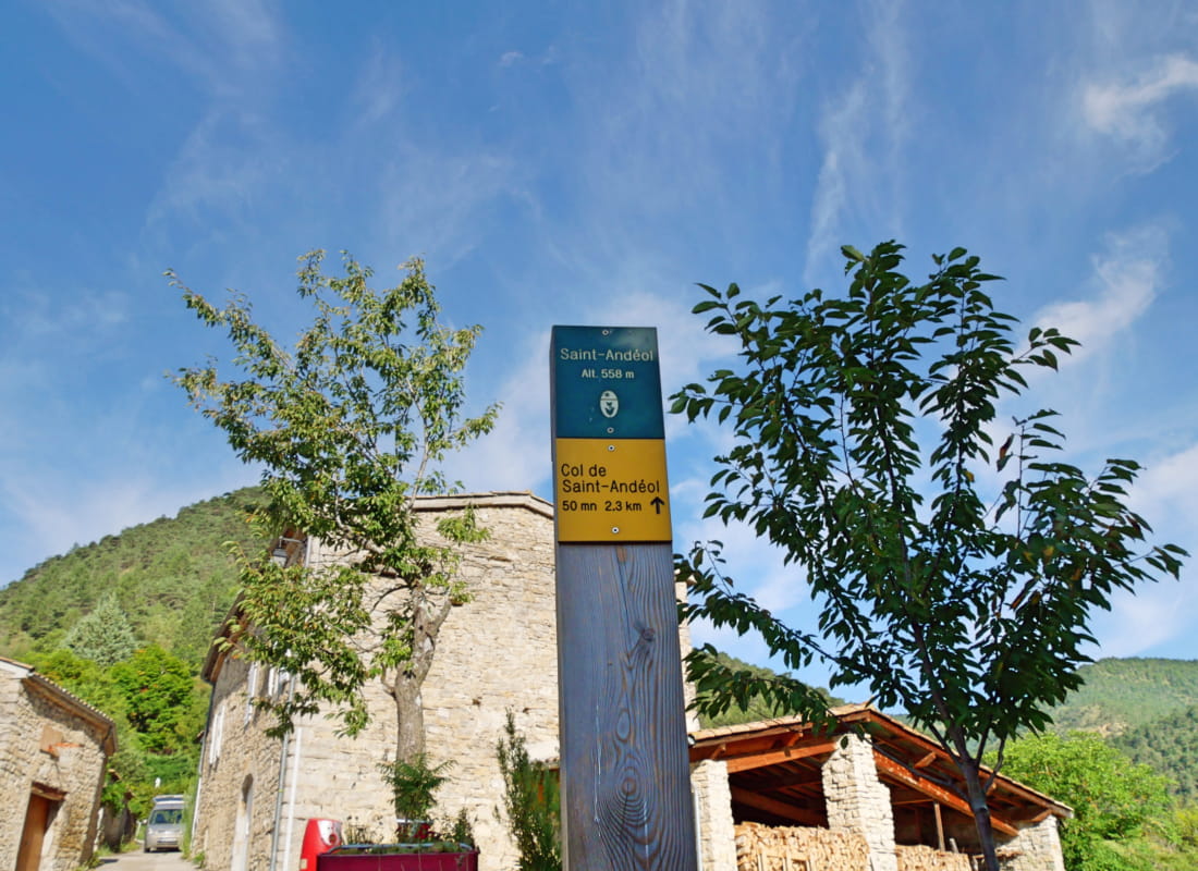
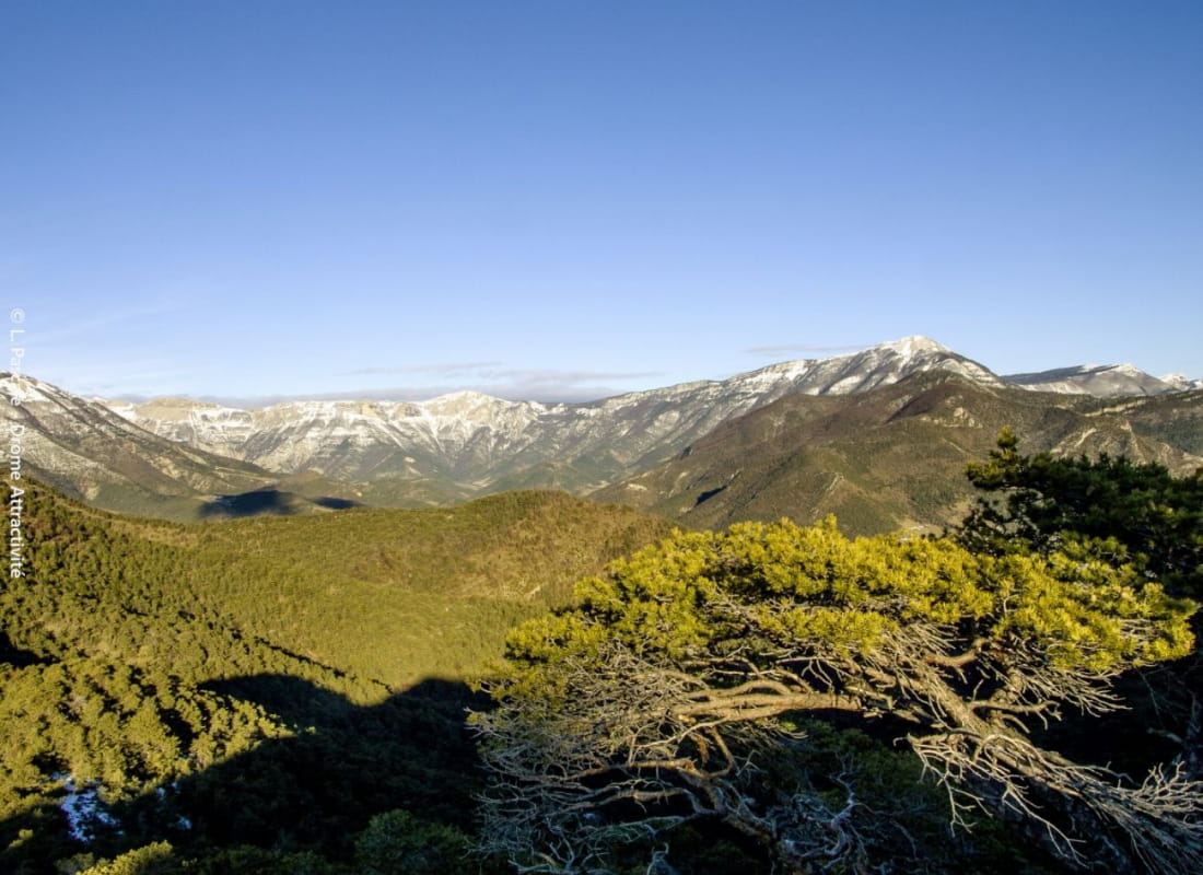
Les cols de Vachères et de Saint-Andéol
Ajouter au carnet de voyage
- Distance8,5 km
- Duration3h
- TypeCircular
- DifficultyModerate
- Total altitude change+ 390 m
- Departure/arrivalVachères-en-Quint
- Route markingYes
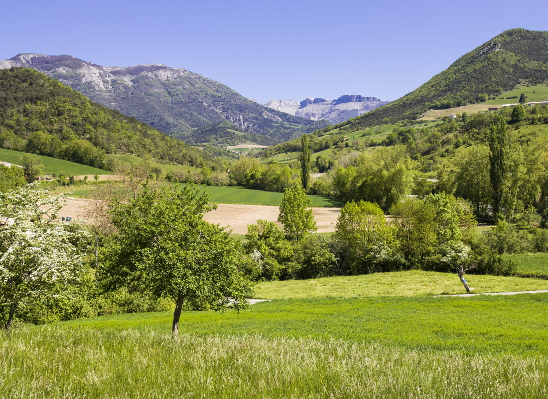
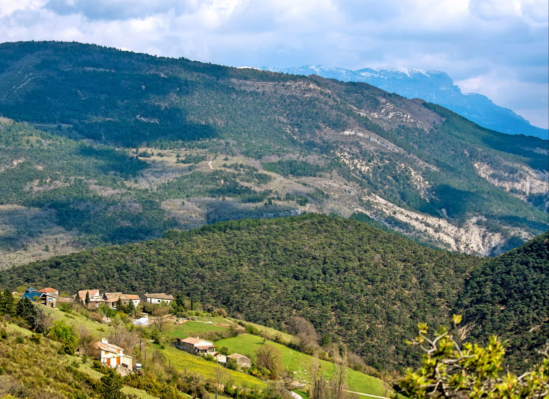
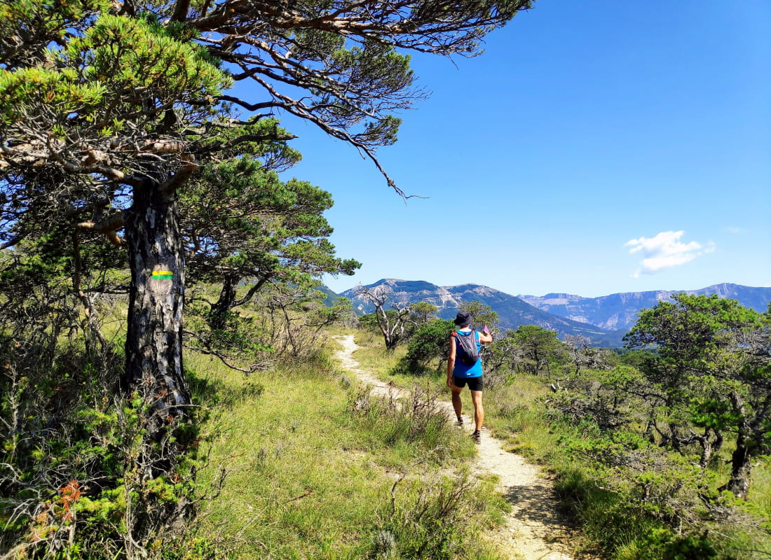
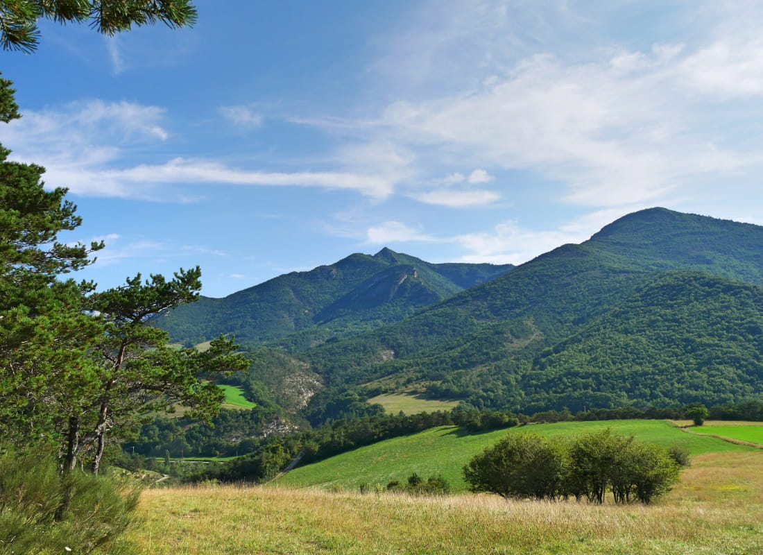
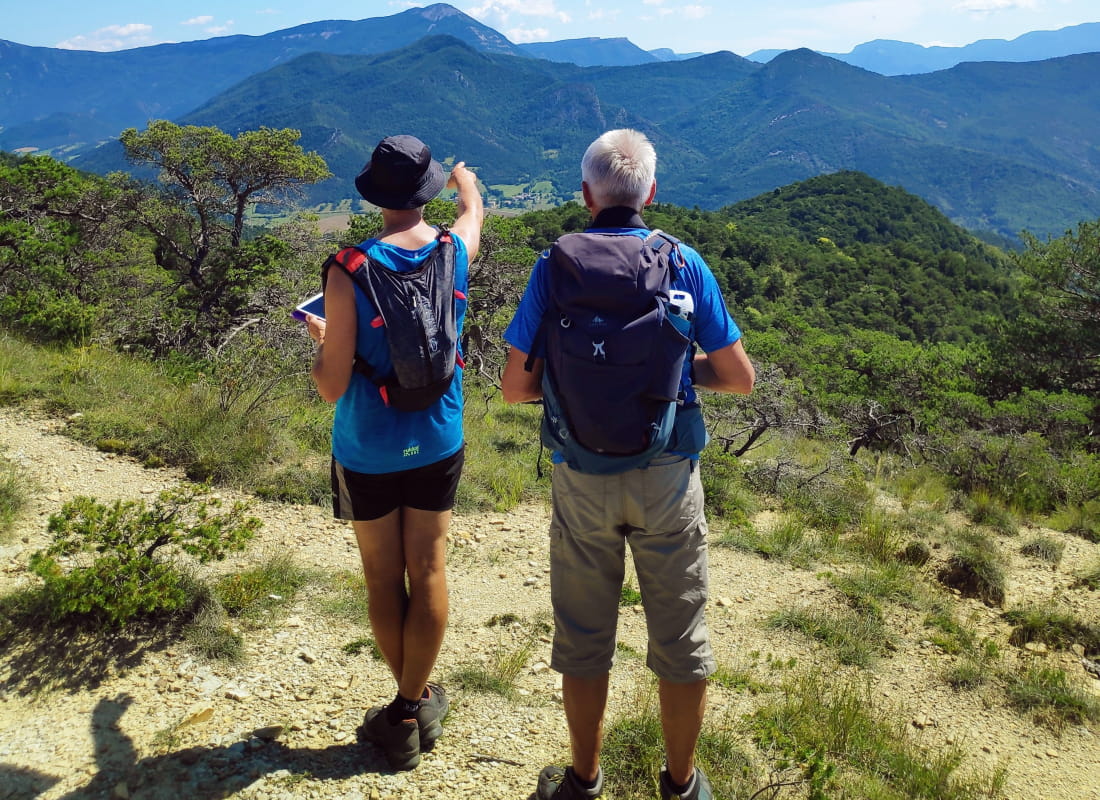
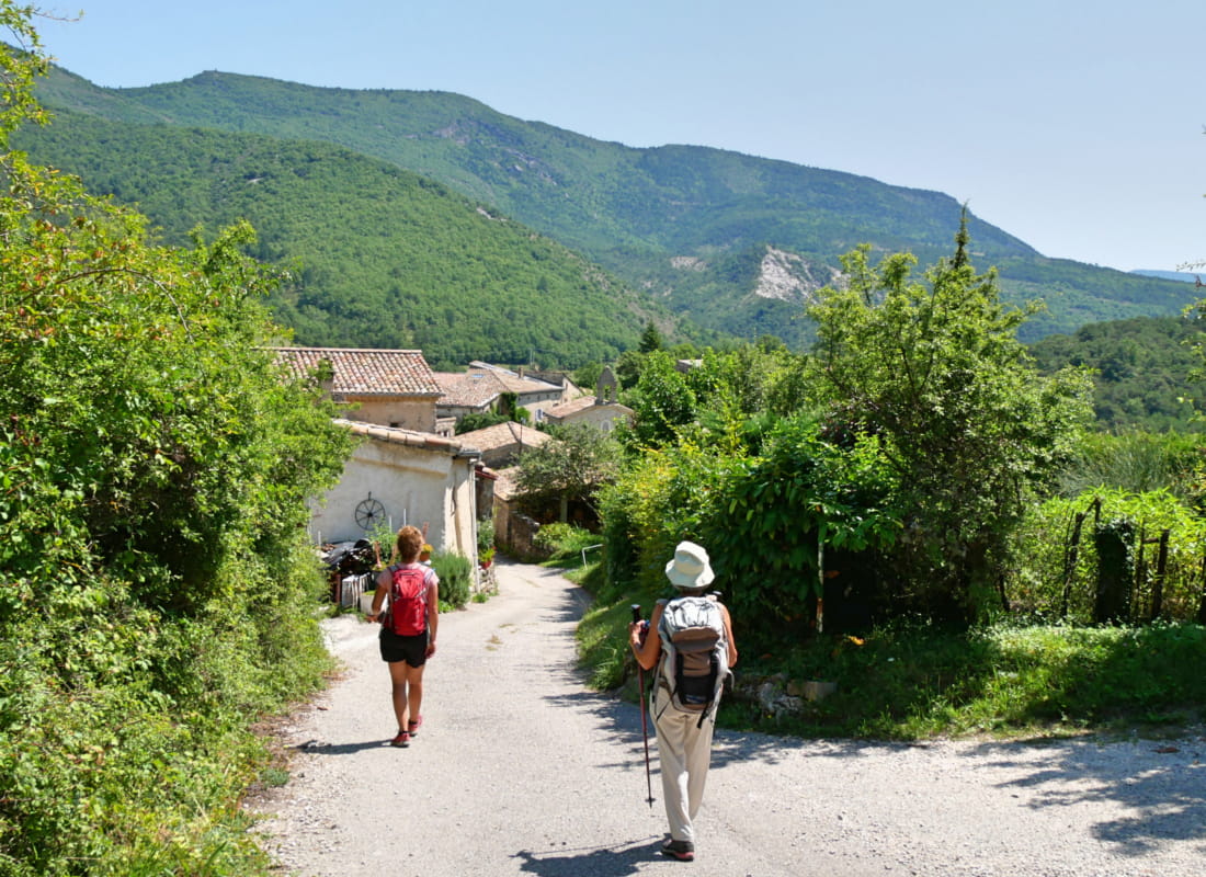
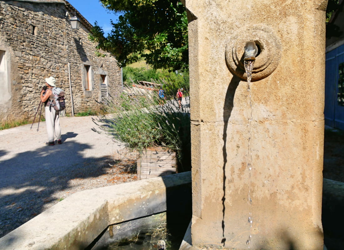
An unassuming path winds its way through marl and pine to the wild ridge straddling the Gervanne and Quint valleys, with the fringe of the Vercors plateau for company as it passes through stone villages gilded ...
- Address26150 Vachères-en-Quint
- Phone04 75 22 03 03
- Emailcontact@diois-tourisme.com
- WebsiteSee the website
Our tips
- Details about route marking :
Balisage jaune et vert (PR) et poteaux de signalétique directionnelle. - Références topographiques :
Topoguide "Le Diois à pied - Aux sources de la Drôme" de la Fédération Française de Randonnée. - Map references :
TOP 25 IGN 3237
Drôme Tourisme cannot be held responsible for any problems encountered along the route.
Any problems encountered can be outlined here:
Author: Conseil Départemental de la Drôme - Apidae Tourisme
To show the map
0M
0M