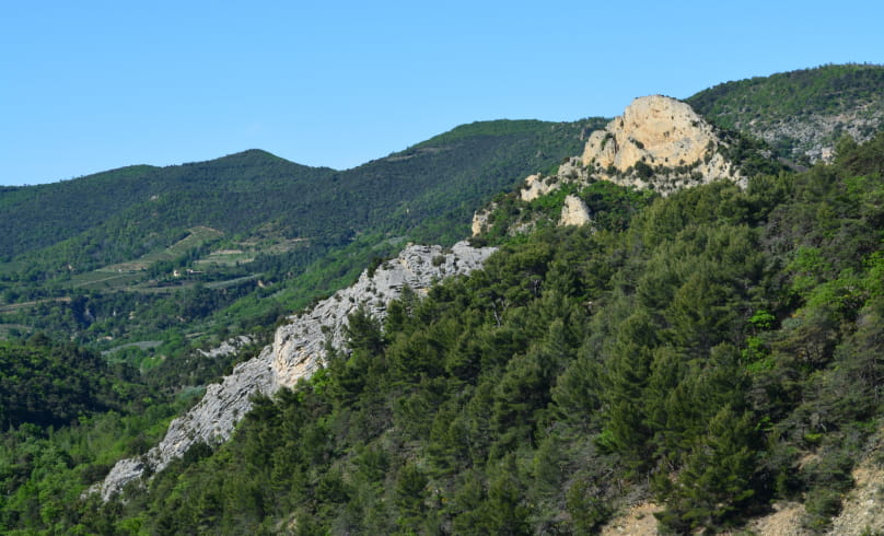
Les hauts de Saint-Jean-d'Ollon
A lovely, easy, balcony hike through the wild Eyguemarse valley. The route takes you to the 14th-century Romanesque chapel of Saint-Jean-Baptiste - the sacristy at the back is a former hermitage. Built on a rocky outcrop (alt. 656m), it dominates the valley. As the valley can be reached on foot, this makes the pilgrimage all the more worthwhile. To the north-west of this rocky outcrop are the ruins of the old Ollon village walls, which are barely visible and inaccessible today. The interior of the chapel is adorned with marble slabs and trompe l'oeil coffered ceilings. On Saint John's Day, a mass is held here. The name Saint-Jean was also given to a stream flowing near the chapel and giving rise to a spring, the ravin de Saint-Jean. At this point, the hike crosses an old road that once linked Buis-les-Baronnies to Nyons.
Bénivay is also the origin of the quality linden tree that bears its name.
Departure point : Drive through the village of Bénivay-Ollon, and park at the end of the tarmac road (D347), at the picnic area at the ford of the Eyguemarse (alt. 471m on IGN).
1. From the parking lot, cross the stream and take the main track on the left towards Col de la Vôte for 100m. This runs alongside the stream.
2. At the fork in the road, turn left onto the Chemin de Saint- Jean, heading for the Chapelle Saint-Jean d'Ollon. Cross the stream, then the track climbs steadily. At a fork in the road, you come to a meadow. The left-hand path leads to the chapel and back.
3. On returning from the chapel, turn left onto a flat track in the meadow where there is a ruin for approx. 130m (heading west).
4. At altitude 584m (on the IGN), leave the track and turn right onto a path that climbs up through the undergrowth, following the markers.
5. At a hairpin bend, stay on the main path, which goes off to the right in a flat, northerly direction. Twice you cross the bed of a small stream. The
second is the Fontvieille ravine. Stay on this path until you reach the wide path following the crest of Montagne de Peitieux.
6. On the crest, take this path to the right towards Col de Vote.
7. 200m further on, as you approach an electricity pole and the track bends left, you come to a crossroads (alt. 756m on IGN). Turn right, following the GR9 signposts to the Col de la Vôte. Follow the path down into the undergrowth.
8. After 1 km, you reach a track which you take on the right as you go downhill.
9. The track leads to the Col de la Vôte (701m). From here, leave the GR9 markers and turn right down the track, which twists and turns a few times.
10. In the 7th hairpin, you can see on the left - in a back-and-forth movement - a path leading to a pile of limestone stones, the source known as "des Neuf fontaines". Continue straight downhill, crossing the river on a concrete
concrete walkway.
11. Cross the Eyguemarse ford and return to the starting parking lot.
Thematic text: K. CHAPUIS - CCBDP intern, OT Buis-les-Baronnies, Association RANDOUVÈZE, Patrick OLLIVIER-ELLIOTT
- Address26170 Bénivay-Ollon
- WebsiteSee the website
Drôme Tourisme cannot be held responsible for any problems encountered along the route.
Any problems encountered can be outlined here:
Author: Conseil Départemental de la Drôme - Apidae Tourisme

