PressAs a group
Pedestrian sports - Hiking itinerary

Les Sucettes de Borne

  • Distance4.52 km
  • Duration1h30
  • TypeCircular
  • DifficultyVery easy
  • Total altitude change+ 180 m
  • Departure/arrivalGlandage
  • Route markingYes

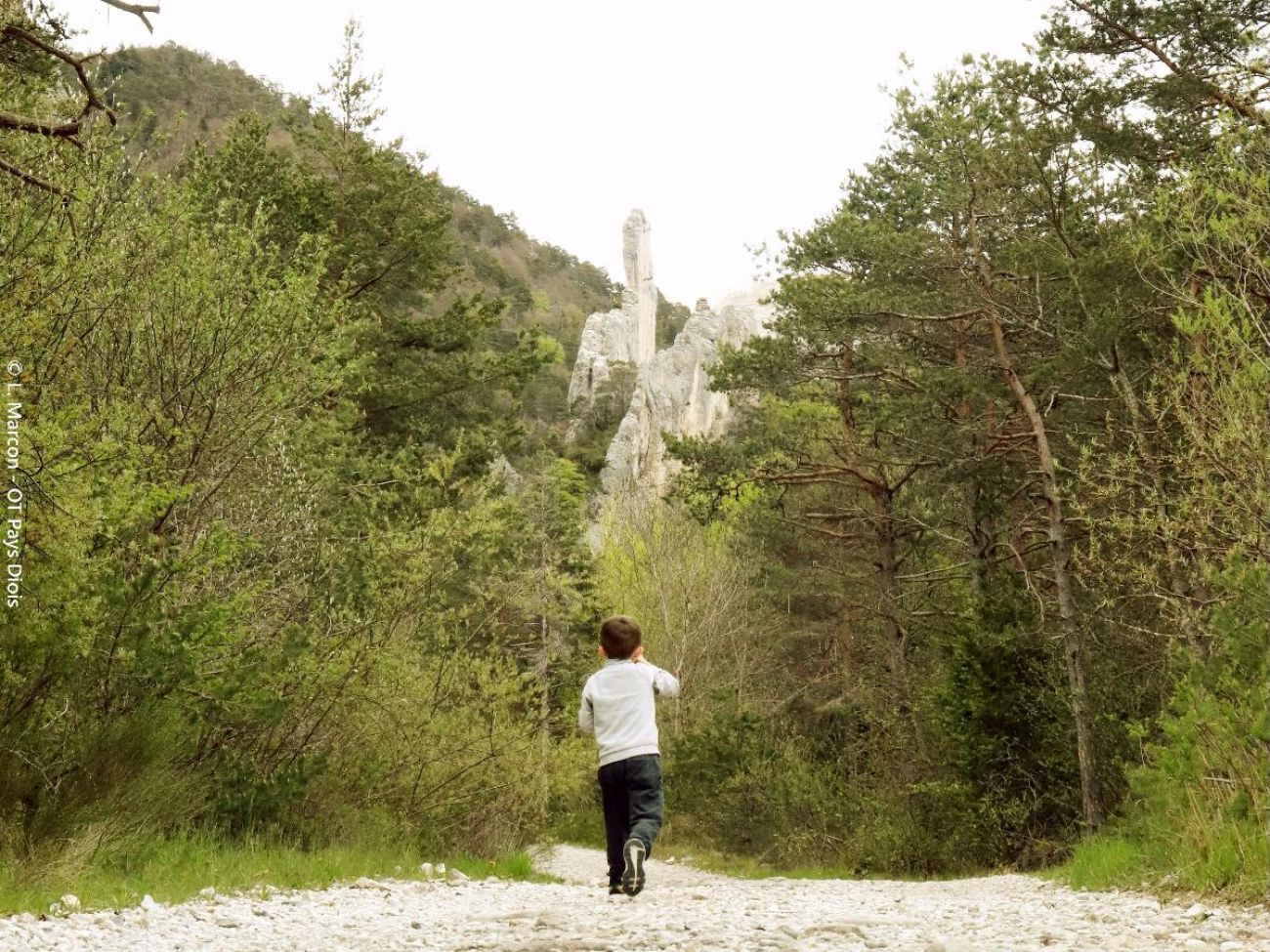
As you walk along the banks of the creek, let your imagination run wild to find the drawbridge, totem pole, rocket, ice floe or sphinx formed by these curious blades of tapering rock, with a shady return to the other bank.

Our tips

  • Details about route marking :
    Balisage jaune et vert (PR) et blanc et rouge avec des poteaux de signalétique directionnelle.
  • Map references :
    TOP 25 IGN 3237

To see the GPX, download the application

  • Exemple sur Android : Ici
  • Exemple sur IOS : Ici
  • Découvrir GPX Studio : Ici

Drôme Tourisme cannot be held responsible for any problems encountered along the route. 

Any problems encountered can be outlined here:

Suricate


Author: Conseil Départemental de la Drôme - Apidae Tourisme

To show the map
0M
0M
Your travel journal is empty. Add places or events to download here.
Download my travel diary
Empty