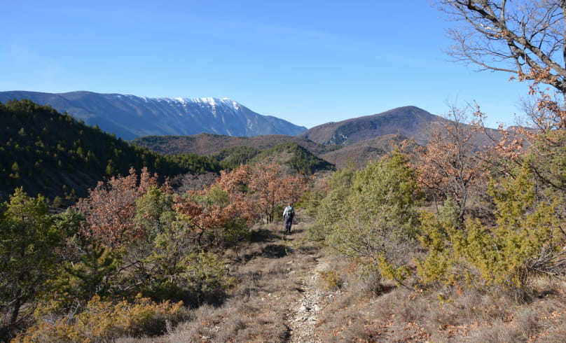
Les trois cols
Folds, faults, marls and strata all bear witness to a very ancient geological history, formed over time. If you pay close attention, you can observe crustacean fossils (ammonites, belemnite rostra), proof that the sea once covered these spaces and that the sediments they contained have now become rock.
Departure point: Montbrun-les-Bains, alt.610 m - Car park opposite the town hall.
1. Take the main street out of the town center, on the D 542 towards Séderon/Barret-de-Lioure.
2. After 600 m, just before a small bridge, turn left at an angle onto the small road, then the track, as far as the "Trémol, alt.650 m" crossroads.
3. Take the right-hand path up the Ravin de Trémol towards "La Boucoule". In a hairpin bend, before a private gate, take the narrow path down into the Ravin de la Boucoule. Cross the ford and turn left on the small road to the crossroads "La Boucoule, alt.750 m". On the right, a small red ochre gravel quarry.
4. Take a left-hand path to a crossroads at the 1st pass of the route (alt.787 m), near a farm.
5. Descend to the right, on the Feysseline ubac (very fine stone restanques, suggesting ancient cultivated terraces) to the maison
Chilet (fountain). From here, descend to the Toulourenc, which you cross, then climb to the D 159. Turn left to the "La Niègle" crossroads,
alt.648 m".
6. Go right up to "Col de l'Aiguillon-St Claude, alt.742 m", where you find the GRP Tour des Baronnies (yellow and red markings): 2nd pass of the route.
7. Descend to Hameau de La Gabelle. Continue left on a track (ford) to a house. Continue downhill to the left on a gravel path, sometimes narrow, to the hamlet of "Briançon, alt.530 m" (yellow and yellow/red GRP markings).
8. Turn left before the small bridge and continue to the "Pierre-Vortier, alt. 532 m" crossroads.
9. Go left, due north, around a wood. Continue uphill to Col de Vénéjean (alt.654 m): 3rd and final pass of the route. Descend through the cultivated valley to "Pont de Vénéjean alt.592 m".
10. Turn right on the D159 for 500 m to the calvary.
11. Turn left up the small road. Pass the Porte Sainte Marie (stone arch), go through the village under the Belfry gate and, 350 m further on, take the staircase on the right which leads to the mayor's office.
- Address26570 Montbrun-les-Bains
Drôme Tourisme cannot be held responsible for any problems encountered along the route.
Any problems encountered can be outlined here:
Author: Conseil Départemental de la Drôme - Apidae Tourisme

