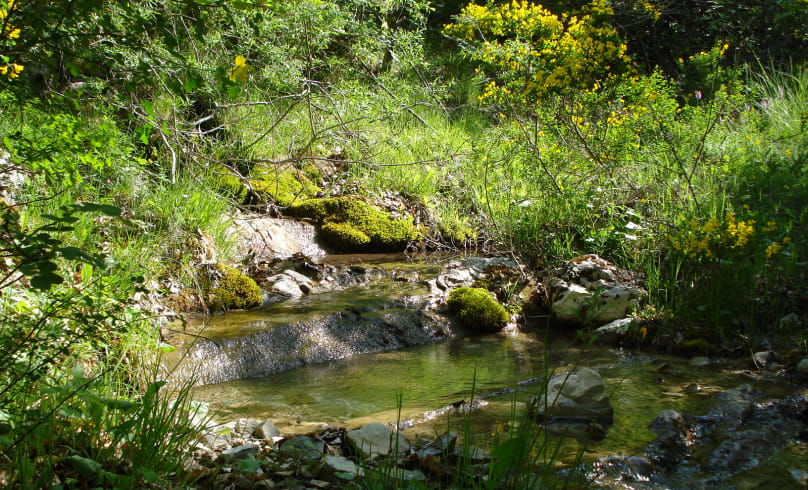
Les trois sources
Here you enter the stronghold of Haute Provence's small spelt. The association's headquarters are at the ARDEMA experimental farm (Aumage district). Beautiful views of the Pelleret and Fort de Mévouillon cliffs. Note also the source des quatre fontaines, the Aumage fountain and the Rieu spring.
Departure point: "Villefranche-le-Château, alt.800 m", parking lot opposite the town hall.
1. Take the road towards Séderon for 50 m, then turn left into the small lane between the houses. Go past the château entrance. Continue
up the road to a crossroads, below a house.
2. Turn right, the path crosses a ravine and rises steeply. At a hairpin bend, take the path on the left. Reach the source of the 4 fountains (water intake). Continue in the same direction along a narrow path on the mountainside.
3. At the end of the path, turn left onto the track, then, after 100 m, at the next crossroads, turn right as the path climbs up to a small pass (alt.1073 m). Descend on the other side.
4. At the Chassenaye crossroads, follow the track to the left.
5. At Quartier Aumage, turn left, then left again at the corner of a house. After a few hairpin bends, cross the stream and join the
the D 234.
6. Turn left onto the road, then take the 1st right. After 600 m, take the left-hand path up to the hamlet of "La Farette, alt.943 m". Pass between the houses and take the path down to the D 546.
7. Cross the D 546 and take the small road below. Just before the Tophagne farm, take the track which climbs straight up.
8. At the Dos d'Ane ubac crossroads (alt.1005 m), take the right-hand path coming from Col de Mévouillon. 100 m further on, turn left, walk 50 m and fork right. Cross the hump and continue on the other side of the slope as far as "les Fonts de Buc, alt.1000 m".
9. At the fork in the road, turn left towards "Villefranche, Le Rieu". After a car wreck, continue straight ahead. Descend
(steep climb) to the source of Le Rieu, then continue along the stream (several crossings). Further down, find a path at the foot of cultivated fields, follow it to the right.
10. At the crossroads "Le Rieu, alt.825 m" Leave the right-hand path coming from Séderon and follow the road down to Villefranche-le-
Château.
- Address26560 Villefranche-le-Château
Drôme Tourisme cannot be held responsible for any problems encountered along the route.
Any problems encountered can be outlined here:
Author: Conseil Départemental de la Drôme - Apidae Tourisme

