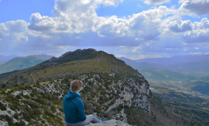
Milmandre et Malpertuis
Departure: Place du Quinconce, center of Buis-les-Baronnies
1. From Place du Quinconce, cross the D546 to reach the narrow ruelle de la Goule on the opposite corner.
2. At the end of this alley, turn right onto rue du Moulin. You'll come to an intersection with a main road. Continue straight ahead on Chemin du Canal du Moulin. You'll reach the Pont Neuf 500m further on. Watch the water level.
High-water variant by road
(in the event of flooding on the Ouvèze) :
Take the Pont Neuf, then the stairs down to the left and follow the Ouvèze quay northwards to the vacation village of La Fontaine d'Annibal. Opposite the vacation resort, turn right onto the allée des Cerisiers and follow it for 100m. You reach the D546, which you take to the left as far as the Ubrieux gorges (alt. 410m on IGN).
3. If the water level is not too high, do not cross the bridge, but turn left onto a small tarmac road. This is the Chemin de l'Ecluse. Pass by an olive grove and after 500 m, at the Leuze fork, turn right towards the Ubrieux gorges. The road becomes a level path, and you follow the irrigation canal. You reach the Ouvèze ford, which you cross to join the D546 on the left.
4. Go through the gorges, cross the Ouvèze (pedestrian bridge), stay on the road and cross a road bridge. Turn left shortly after this onto a small tarmac road. You enter the Péchières valley as far as the Col de Milmandre.
5. The road becomes an unsurfaced track. After 700m, turn left at the fork to follow the track which descends slightly to the bottom of the valley. It crosses the stream, twists and turns, then climbs steadily uphill towards the Col de Milmandre.
6. At the Péchières farm, leave the main track in a hairpin bend to the left and continue straight ahead on a side track which crosses a stream that is often dry. Always follow this path, which is a little rough. You reach some marl before entering the forest. As you approach the pass, you pass the ruins of the Cades sheepfold.
7. At the Col de Milmandre (854m), turn left immediately onto the path below the ridge line, following the yellow markings and those of the GR9.
8. You reach the Col de Malpertuis (852m). From here, descend to the right. The path widens and runs alongside farmland. It crosses a number of farm tracks, so be sure to follow the signs. We pass the Vertégoux farm (600m).
9. Join a road which you take on the left as you descend (at 545m). Pass the Col d'Os sign (which is not its true location), with a bench offering a view of the Rocher du Lion and Mont Ventoux.
10. 300m further on, leave the road when it crosses a track on the left which leads upwards. This is the true location of Col d'Os (494m).
11. At the fork in the road, turn right onto a slightly downhill track. The track becomes a tarmac road which descends on the right, through olive groves and houses to Buis-les-Baronnies.
12. Once in Buis, drive past the hospital, then along the canal. Turn right onto Rue du Docteur Claude Bernard. Continue straight on Boulevard Michel Eysseric. Cross the road. Pass the Tourist Office on your left.
13. Turn left onto Grande Rue. Pass Place aux Herbes, turn right. Then left on Place du Marché. You can pass under the arcades. Finally, turn right at the Porte de Sainte-Euphémie. From there, join Place du Quinconce.
- Address26170 Buis-les-Baronnies
Drôme Tourisme cannot be held responsible for any problems encountered along the route.
Any problems encountered can be outlined here:
Author: Conseil Départemental de la Drôme - Apidae Tourisme

