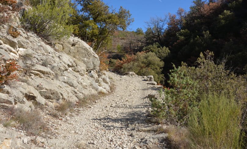
Montagne de Vic
This itinerary, with its breathtaking views, leads to the small hamlets of Vénéjean, Vic and la Villette, which flourished in Roman times. Discoveries here have brought to light the remains of buildings that testify to a certain affluence. Wheat, vines and olives, the "udders" of the Roman agricultural economy, could dispense all their wealth here. Work on the Aulan road has revealed the existence of an irrigation canal cut into the hard rock of the gorges, enabling the whimsical waters of the Toulourenc to be harnessed.
Departure point: Montbrun-les-Bains, alt.610 m - Car park opposite the town hall.
1. From the square in front of the Montbrun-les-Bains town hall, climb the stairs to the north to reach "Rue Notre Dame". Turn left ("Rue de
la Bourgade"), pass under the Belfry and follow the calade to the belvedere at Place du Grand Soleil. Follow the cobbled streets down to the exit of the Old Village. Go under the "Sainte Marie" gate and down the small asphalt road.
2. Leave the road and turn right, following the yellow signs. Climb a pretty stone path on a balcony facing the Ventoux, past the entrance to a property
of a property (Oratory 50m away) and continue along the path to "La Citadelle alt.690 m".
3. From here, turn left down the small tarmac road to the Départementale at the bottom ("La Combe Aubert, alt.587 m").
4. Turn right along the Toulourenc for 350m to reach "Pont de Vénéjean alt.592m".
5. Cross the Toulourenc to the left and climb gently to the right along the path to the Col de Vénéjean (alt.654 m).
6. From the pass, descend to the left along a pretty path lined with downy oaks. Views over the Vénéjean gorges, with limestone strata in the marl (Adret de Fliez).
7. At the intersection, go right to reach the "Pierre Vortier alt. 532 m" crossroads.
8. Turn left, leaving the GR91C on your right (white and red markings). A little further on, go around the Truphémus farm, following the small
signs to La Villette (yellow signs only). Climb the Vic slope on a good path with 2 steep sections. Continue along the main track to "Col de Vic alt.701 m".
9. Turn left, passing the "La Villette" gîte, and take the small road down to "Pont de Vénéjean, alt. 592 m". Turn right onto D 159. Stay on the road at "Combe Aubert, alt. 587 m".
10. At the Montbrun-les-Bains sign, turn left, then right, along the Sentier des Fontaines path marked with small wooden posts. Go up the calade under the high village walls. Return to the D542 and climb back up to the starting parking lot.
- Address26570 Montbrun-les-Bains
- WebsiteSee the website
Drôme Tourisme cannot be held responsible for any problems encountered along the route.
Any problems encountered can be outlined here:
Author: Conseil Départemental de la Drôme - Apidae Tourisme

