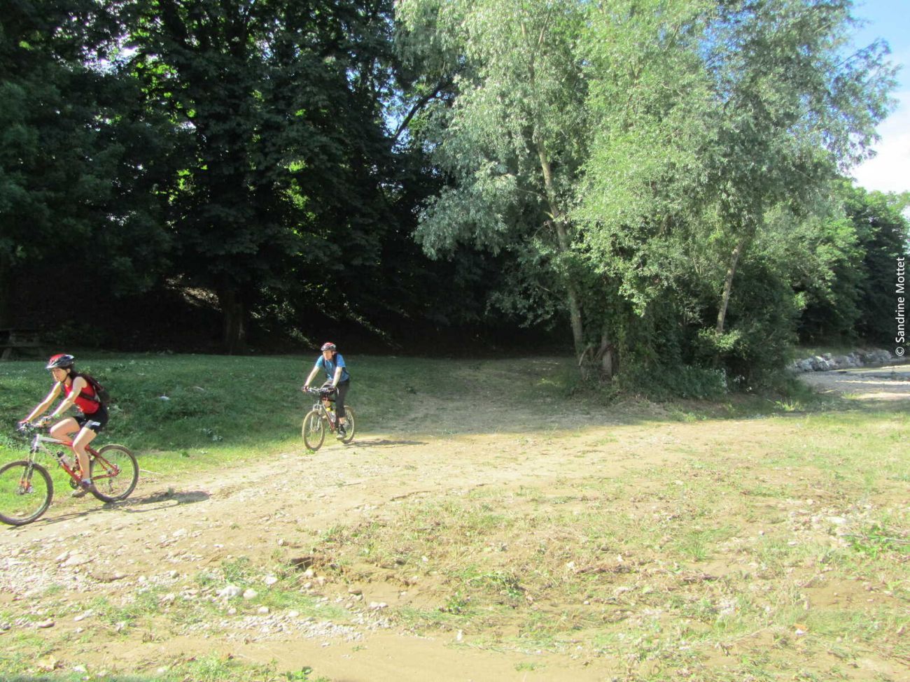
Mountainbike trail
You can find this walk on our "Les Echappées Inspirées" app and in our hiking guide. You can find this route on our "Les Echappées Inspirées" app.
This free application turns your cell phone into a hiking GPS. Once the route has been loaded online, there's no need to be connected, and no risk of getting lost.
The walker is guided by voice instructions from his or her device, which indicates changes of direction, natural or historical points of interest, areas to watch out for...
- AddressParking du palais idéal du facteur Cheval
26390 Hauterives - Phone04 75 23 45 33
- Emailporte@dromardeche.fr
- WebsiteSee the website
Our tips
- Details about route marking :
Plaque avec balise VTT orange et n°2 sur carré. - Map references :
Top 25 ign
Drôme Tourisme cannot be held responsible for any problems encountered along the route.
Any problems encountered can be outlined here:
Author: Conseil Départemental de la Drôme - Apidae Tourisme
To show the map
0M
0M

