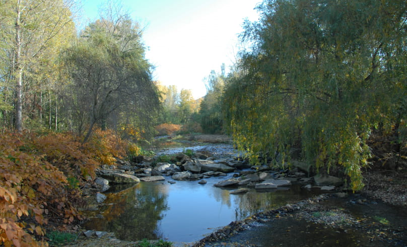
Rambling trail
From the parking lot, drive past the town hall and turn left along the stream. Cross a small road, then turn left to join the road to Villeneuve-de-Vals. Follow this road to the right, passing over the railroad line. After the bridge, turn left, then immediately right to descend to Les Rivoires. About 600 m further on, turn sharp left
before a large building. Follow the Chemin des Soldats
crosses Bois Girard from north to south. At the end of the wood, turn left
between fields to reach the Route du Pilon. Beautiful view of the
Saint-Andéol. Turn left (watch out for cars), then immediately right.
right. Pass over the railroad again, then continue straight ahead
Petit and Grand Choriol. Then cross the D229 to go up to Fontanaure. After 500 m, at the Bonneton crossroads post (alt.
280 m), follow the left-hand path to Fermont. After the house,
at Fermont (alt. 290 m), turn left towards St-Andéol. 200 m further
turn right into the combe. Follow the signs as the path
path winds up and down and crosses other paths. Climb
between pines and oaks until you reach the old Chemin de St-Andéol,
turn right. Further on, at Colonfort, turn right to take the
the asphalt road leading up to the Péray farm. Just before a crossroads
before a crossroads, take the footpath that rises to the left, cutting through
the small wood. Further on, enter the hamlet of St-Andéol. Turn right towards the Chapelle de St-Andéol and take the path under the cemetery wall (watch out for the descent). At the bottom, follow the combe to the left. After about 600 m, at a crossroads, go straight ahead and climb up to the route de St-Andéol. Follow it downhill. Take the left-hand path leading down below "Les Chevaux des Collines". Join the route de Colonfort, and follow it downhill for about 100 m to reach the Lagut farm. Turn left, then right at a crossroads. Cross the small bridge over the River Bion, then the road immediately afterwards to climb between the houses. Climb to the left, following the signs. Gradually change from the southern forest to the more typical hilly forest. Climb the main path, turn left twice (hairpin bend) and then right to take the ridge path. After the steep climb, return to the main path. At the end, turn left twice
left to return via the Suze west balcony. Exit onto
downhill to the right. Continue until you reach an even
turn right to reach the white Madonna,
located above the old castle. Descend towards the village, cross the
square, then turn right to find the town hall and the starting point.
- AddressMairie, place du 11 novembre
26240 Claveyson - Phone04 75 23 45 33
- Emailporte@dromardeche.fr
- WebsiteSee the website
Our tips
- Références topographiques :
Guide FFRP Drôme des Collines - Map references :
Top 25 Ign
Drôme Tourisme cannot be held responsible for any problems encountered along the route.
Any problems encountered can be outlined here:
Author: Conseil Départemental de la Drôme - Apidae Tourisme

